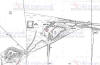
E&WYUR Hybrid map Rails
1920 roads 2013
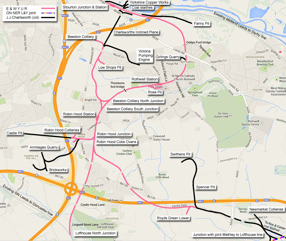
|
East and West Yorkshire Union Railway
The original plan was a main line between Drax & Lofthouse & a Leeds
branch to Rothwell & Stourton. This was abandoned in 1886.
The section between Lofthouse & Rothwell opened on 20th May 1891. The
line was extended to Stourton in April 1895 (with the South Leeds
Junction Railway).
The section between Robin Hood & Royds Green Lower was authorised on
14th December 1897. The Thorpe Branch was opened in 1899.
Passenger services
A daily passenger service lasted only 8 months. It started on 4th
January 1904 between Stourton Junction & Rothwell.
The Sunday service
was withdrawn in August 1904.
The passenger services ended completely on 30th September 1904, mainly
due to electric tramway competition. |
 You Tube : Darren Hosker You Tube : Darren Hosker
Feature on the E&WYUR.
https://www.youtube.com/playlist?list=PL-iLBhpCwmO8FoOPt4_noVqPf8bzTOPe0 |
 Railway Ramblers gazetteer Railway Ramblers gazetteer
See also the Railway Ramblers gazetteer -
Leeds : E&WYUR Lofthouse north jn to Stourton |
E&WYUR
Information 1960s & 70s : Garry Brown
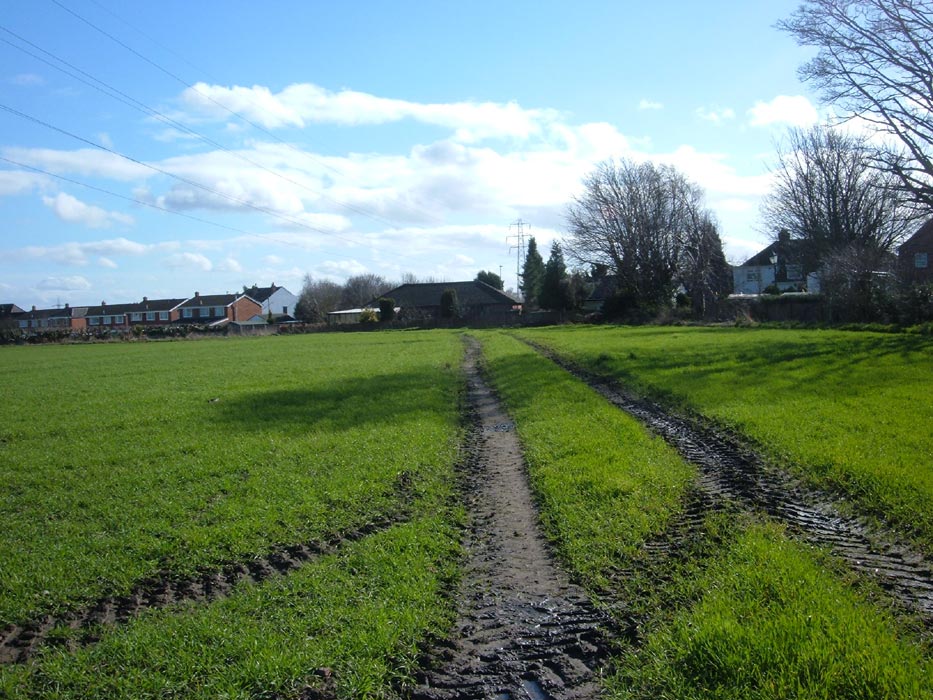
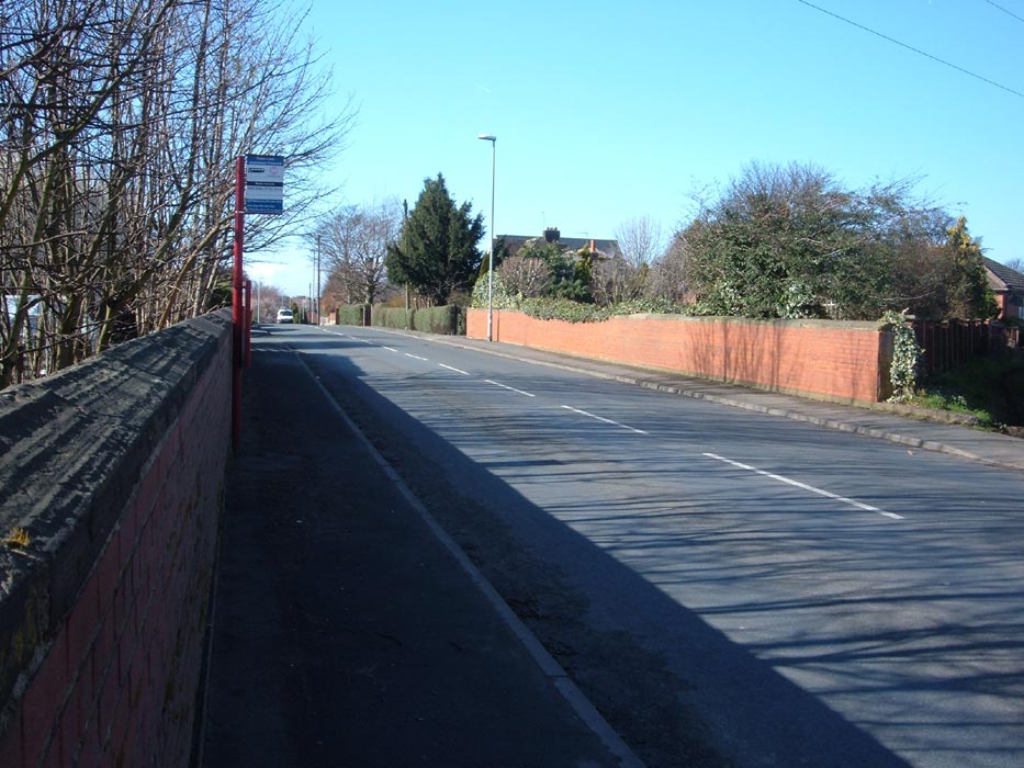
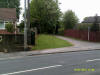
I lived on Cliffe terrace (batty hill) from 1961, overlooking
Leeds/Wakefield road, at the point that the fly lines crossed.
The road there was not a bridge at this point, it was just a level
crossing, the tracks are still under the road.
Jane pits, pithead baths were on the right (they are still there under
the mound of spoil heaped on top).
As you cross the road going onto the footpath into the old goods yard
(the flat grassed area) just inside, the line split, the left hand
section going to Milner lane.
The kissing gates on Milner lane were still there in the 1970s.
The colliery, Jane pit , was used at the end of its life as a
ventilation shaft for Rothwell Fanny pit. There are 3 shafts under the
new housing estate.
I used to play all over this area as a child my father and I worked at
fanny pit. My father came out via the shaft on at least 1 occasion.
At Jane pit there is another capped shaft over lower Thorpe lane next
to the garage under the new house. This shaft was also connected to
Jane pit.
All the lines had solid cast iron bridges going down Leadwell lane. I
remember walking over them. Robin hood station was a brick ruin at
this time.
At the point where you turn right into Charlesworths coal yard there
was a signal box.
There were a line of 5 stone houses, following the course of the fly
line, next to the Leeds Wakefield road.
My uncle lived there until the very late 1960s when they were all
demolished, my uncle also worked at fanny pit. |
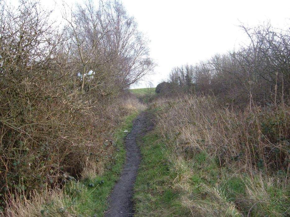
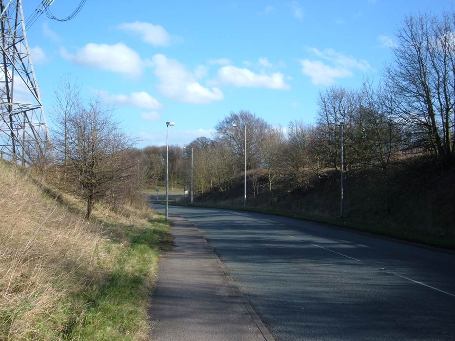
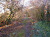
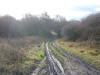
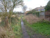
Lofthouse north junction to Stourton via Robin Hood & Rothwell
 Junction
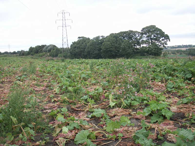
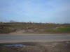
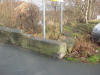
with the GNR at Lofthouse (22-05-14) : Paul Needham Junction
with the GNR at Lofthouse (22-05-14) : Paul Needham
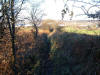
This shows the junction with the former great northern railway at
Lofthouse, the fence obviously today's main line ,the other wooden fence
and line of saplings give a guide to the Charlesworth's line as it veers
off to the right a few hundred yards from the bridge no1. |
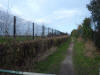
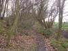
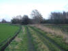
 Iingwell
nook lane (22-05-14) : Paul Needham Iingwell
nook lane (22-05-14) : Paul Needham
This is looking back down the branch from the bridge abutment, a lot of
track ballast is still strewn on the embankment sides after all these
years. |
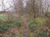
 Ingwell
nook lane (22-05-14) : Paul Needham Ingwell
nook lane (22-05-14) : Paul Needham
This shows the abutments for a stone arch bridge, deceptive as you would
probably think vertical sides and steel deck girders, I seem to remember
riding down to look on a moped when I had seen it in the distance from
the previous overbridge, this marks the start of the branch in terms of
rights of way and would be no1 bridge in companies plans. |
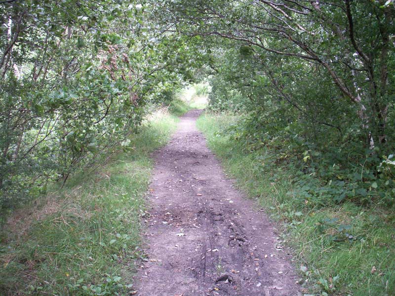
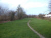
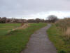
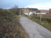
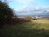
 Trackbed (22-05-14) : Paul Needham Trackbed (22-05-14) : Paul Needham
This is taken on the flat stretch where the edge of a golf course using
reclaimed land from Lofthouse colliery is now situated, a nice touch
being the use of old railway sleepers quite extensively around the tees
as seen right. |
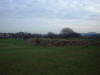
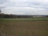
 Embankment
from Castlehead lane (22-05-14) : Paul Needham Embankment
from Castlehead lane (22-05-14) : Paul Needham
This shows the embankment as it progresses from on the left side the
golf course to far right into the trees,
on the far side of the trees
the depth is quite considerable. |
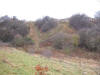
 Castlehead
lane (22-05-14) : Paul Needham Castlehead
lane (22-05-14) : Paul Needham
The change in vegetation neatly shows the line of the branch as we look
towards the previous shot, the horizon is where the road is Castlehead
lane that I stood
on before,
this side had a short shallower cutting before a flat stretch and then
an embankment. |
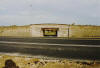
M62 (22-05-14) : Paul Needham
 This
is the view looking in same direction towards Robin Hood from the other
side of the M62, notice the lorry and gantry near the M1/M62 junction,
the short tarmac field entry was there in my youth but a substantial
stone parapet came up to it with a fairly deep cutting under, the
cutting had been filled with so much dumped items that you had to crouch
down to pass under, the M62 was there then too of course but This
is the view looking in same direction towards Robin Hood from the other
side of the M62, notice the lorry and gantry near the M1/M62 junction,
the short tarmac field entry was there in my youth but a substantial
stone parapet came up to it with a fairly deep cutting under, the
cutting had been filled with so much dumped items that you had to crouch
down to pass under, the M62 was there then too of course but
widening of
the slip road to the M1 has brought it nearer since. |
Long Thorpe lane facing south (15-05-14) : Paul Needham
 This
is the view looking across Long Thorpe lane where a bridge parapet would
have been, the anti motorcycle barrier appears down the very bottom of
next picture, the council semi and its boundary fence show the extent of
the cuttings top edge, the rest is lost in school playing fields, the
opposing parapet has gone also and the very short stretch of track
between this road and the M62 which chops up the branch is completely
infilled behind locked gates and reveals nothing of its past. This
is the view looking across Long Thorpe lane where a bridge parapet would
have been, the anti motorcycle barrier appears down the very bottom of
next picture, the council semi and its boundary fence show the extent of
the cuttings top edge, the rest is lost in school playing fields, the
opposing parapet has gone also and the very short stretch of track
between this road and the M62 which chops up the branch is completely
infilled behind locked gates and reveals nothing of its past. |
 Cutting
facing north (15-05-14) : Paul Needham Cutting
facing north (15-05-14) : Paul Needham
The view from the barrier. The cutting has been infilled and partially
cut off by the Rodillian school sports pitches leaving only a narrow
path, at the end of the fence the path widens out to reveal the previous
picture. |
 Trackbed
facing north (15-05-14) : Paul Needham Trackbed
facing north (15-05-14) : Paul Needham
This is the trackbed looking towards Leeds road bridge, its quite
infilled here as this would have been cutting, in the very far distance
the path drops down to reveal the next view. |
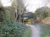 Leeds
road Bridge facing north (15-05-14) : Paul Needham Leeds
road Bridge facing north (15-05-14) : Paul Needham
This shows the constriction of the present underpass from the Lofthouse
side. |
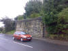
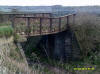
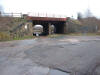
Leeds road Bridge (11-09-08) Luke Bennett / Ben Wildey
 Old
railway Bridge under Leeds road on the Line from Lofthouse North to
Rothwell next to the Gardeners arms pub. Old
railway Bridge under Leeds road on the Line from Lofthouse North to
Rothwell next to the Gardeners arms pub.
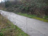
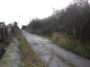
This is the section of line between Lofthouse North to Rothwell. There
is very little of interest to photograph it is a nice walk but the
Rothwell end now totally gone with no trace only a short section
between a estate which was not worth looking at as it just acts as a
ginnel, the bridges are the only thing to look at really as most of the
embankments have overgrown. |
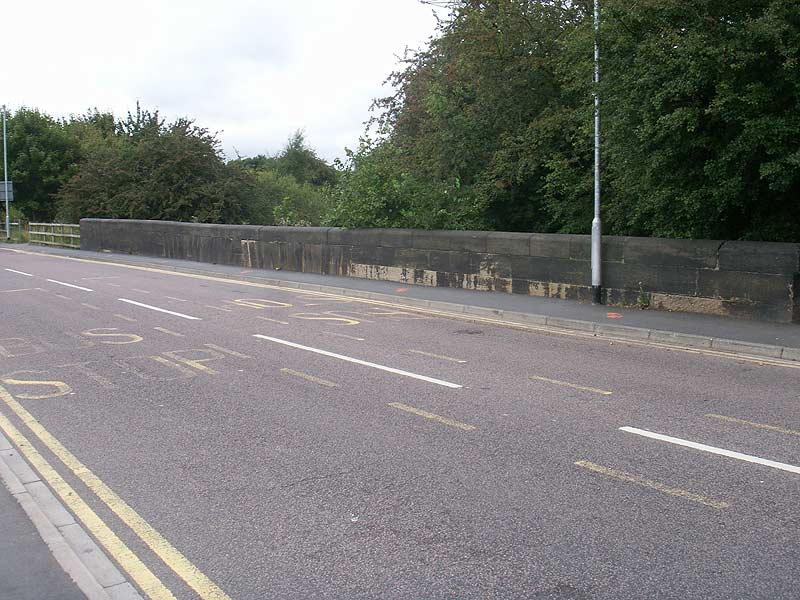
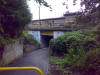
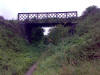
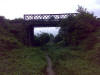
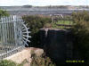
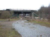
Leeds road Bridge (15-05-14) : Paul Needham
 This
shows the view from above of the only intact road overbridge remaining
on the entire E+W Yorkshire network, the underneath has been narrowed
,no doubt to increase support but all the previous small arched
construction can still clearly be seen underneath, for reference I am
leaning on the Gardeners pub wall to take this, to the right of the
parapet over the road was many years ago a sort line of terrace houses
whose back gardens although tiny looked out over a drop down to the
track, an aunt used to live there and I am convinced I looked out onto
points and a ground frame but cannot see why it would be here, the
plans do not show this area in detail. This
shows the view from above of the only intact road overbridge remaining
on the entire E+W Yorkshire network, the underneath has been narrowed
,no doubt to increase support but all the previous small arched
construction can still clearly be seen underneath, for reference I am
leaning on the Gardeners pub wall to take this, to the right of the
parapet over the road was many years ago a sort line of terrace houses
whose back gardens although tiny looked out over a drop down to the
track, an aunt used to live there and I am convinced I looked out onto
points and a ground frame but cannot see why it would be here, the
plans do not show this area in detail. |
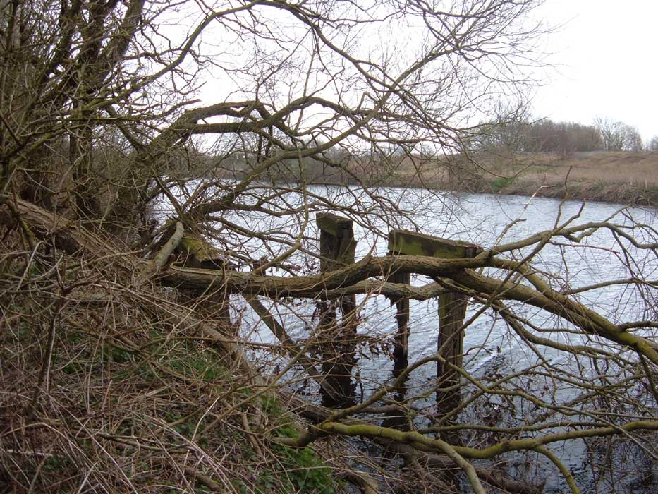
Concrete footings (15-05-14) : Paul Needham
 This
is the substantial concrete footings for the spoil cableway from Robin
Hood Jane pit, we are stood on the embankment with Rothwell and Robin
Hood stations to my right looking through the houses would be
Wakefield road A61 near the Leadwell lane road junction, there are
only footings for the cableway at this end and they must have
travelled over the A61 many years back but I have never seen them
there, presumably because digging had long since ceased by that time. This
is the substantial concrete footings for the spoil cableway from Robin
Hood Jane pit, we are stood on the embankment with Rothwell and Robin
Hood stations to my right looking through the houses would be
Wakefield road A61 near the Leadwell lane road junction, there are
only footings for the cableway at this end and they must have
travelled over the A61 many years back but I have never seen them
there, presumably because digging had long since ceased by that time. |
 Cableway (15-05-14) : Paul Needham Cableway (15-05-14) : Paul Needham
This shows the cableway as it went out onto the considerable spoil
heap now to be seen in a farmers field just off leadwell lane,
although visible from quite a distance, for reference the previous
shot is behind me over the old trackbed. |
 A654
road Bridge (11-09-08) Luke Bennett
/ Ben Wildey A654
road Bridge (11-09-08) Luke Bennett
/ Ben Wildey
Old Bridge Abutment on the A654 this is the only one out of the two
still standing.
This line links up with the Robin Hood to Patrick Green & River Calder
Colliery line (see below) near Leeds road,
just south of some old pit stacks you can see the adjoining line and pit
stacks on Google earth. |
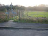
Robin Hood station
Robin Hood station (01-18-15) : Paul Needham
 last
remains of Robin Hood station. last
remains of Robin Hood station.
Must have walked past this very many times without seeing it despite
supposingly looking for relics, wonder what else is out there? I had
always thought the station access to be from Matty lane but looking at
old local maps confirmed the remains to be in the original place, so
here we have the station gate post, the gate would swing away from us
pivoting on the RH post if it were still there, the abutment on previous
image is over the road beyond my right shoulder. |
 Robin Hood station (04-27-15) : Paul Needham Robin Hood station (04-27-15) : Paul Needham
Robin Hood station gate post from further back to give better
perspective. |
Beeston colliery triangular junction
 Triangular
junction (01-05-14) : Paul Needham Triangular
junction (01-05-14) : Paul Needham
This is the view along part of the triangular junction as one exits the
cutting, you are looking along the track which went to Rothwell under
the occupation bridge , the line of trees far left gives a better
indication of the formation here as brambles and dumping of topsoil has
obscured the full width of this area. |
 Triangular
junction
(01-05-14) : Paul Needham Triangular
junction
(01-05-14) : Paul Needham
This shows the triangular junction from near Robin Hood station site,
the left hand track goes to the low shops pit, quarry and incline, the
right hand track is the main branch to Rothwell, in the bushes to the
left and right are foundations of the footbridge at this point which
spanned 4 tracks and was known locally as the "shaking" bridge, behind
us a hundred yards back was Robin Hood station. |
 Bridge
(08-05-14) : Paul Needham Bridge
(08-05-14) : Paul Needham
This shows the concrete foundations for one end of the "shaking" bridge
that spanned four tracks at this place, the two levels of foundation
present would locate the first staircase with the other on a turn up to
the bridge deck, the fence divides the site from the housing which
wasn't there in railway times, to the left of the bridge would be the
lines to Rothwell. |
 Free
standing structure
(08-05-14) : Paul Needham Free
standing structure
(08-05-14) : Paul Needham
This shows the other set of foundations on the opposing side with the
lines where I am stood. |
Free standing structure
(08-05-14) : Paul Needham
 This
shows a free standing structure in the undergrowth within the triangle
of lines near Robin Hood station, it is around 3 foot tall with the
remains of a continuous barrier around the top, the walls are around a
foot thick brick with originally only a small opening at one end, the
concrete top is braced underneath with rails and also 9 inches thick,
the size is about 12 x 18 foot or so and has rounded comers suggesting
it was never adjoined, the inspection pit runs parallel to the main
Robin Hood Rothwell lines albeit some 35 foot from them. This
shows a free standing structure in the undergrowth within the triangle
of lines near Robin Hood station, it is around 3 foot tall with the
remains of a continuous barrier around the top, the walls are around a
foot thick brick with originally only a small opening at one end, the
concrete top is braced underneath with rails and also 9 inches thick,
the size is about 12 x 18 foot or so and has rounded comers suggesting
it was never adjoined, the inspection pit runs parallel to the main
Robin Hood Rothwell lines albeit some 35 foot from them. |
 Free
standing structure
(08-05-14) : Paul Needham Free
standing structure
(08-05-14) : Paul Needham
This shows the view from the opposite corner showing the original small
opening and the inspection pit would come across in front of the wall
near our feet but is either filled in with earth or stops short. |
 Free
standing structure
(08-05-14) : Paul Needham Free
standing structure
(08-05-14) : Paul Needham
This shows the view on the top but is too moss covered to detect any
fastening bolts or such like. |
 Free
standing structure
(08-05-14) : Paul Needham Free
standing structure
(08-05-14) : Paul Needham
This is the view from the opposite end with inspection pit just visible
far right. |
 Trackbed
(01-05-14) : Paul Needham Trackbed
(01-05-14) : Paul Needham
This shows the trackbed approaching the occupation bridge kindly posted
some time ago which encouraged me to take photos myself,
the track bottom left is the path from the single line to the low shops,
incline etc, the said bridge just out of sight around the corner. |
 Thompsons bridge (11-09-08) Luke Bennett
/ Ben Wildey Thompsons bridge (11-09-08) Luke Bennett
/ Ben Wildey
This old Bridge is a occupation bridge crossing the line just short of
Rothwell
and is not far away from the triangle that use to take trains
to Leeds and in this direction towards Rothwell.
|
 Thompsons bridge (11-09-08) Luke Bennett
/ Ben Wildey Thompsons bridge (11-09-08) Luke Bennett
/ Ben Wildey
This is taken from the other side to say it looks like nothing has been
a cross since the lines closure in the 60,s.
Farm vehicles still use it now and then all though it be very slowly as
the metal decks on the bridge are in poor shape. |
 Thompsons
bridge
(01-05-14) : Paul Needham Thompsons
bridge
(01-05-14) : Paul Needham
This is taken under the occupation bridge listed in the book as being
Thompsons bridge, I remember it being numbered in my youth but could
find no sign of its remains then I realised it was behind the brambles,
No8 as counted back from the bridge near the great northern connection
at Lofthouse, there must be something in what people say about lead in
paint since its at least 50 years since painted and still quite legible. |
Thompsons
bridge
(23-03-17) : Paul Needham
  Thompsons bridge has suffered a minor collapse and will almost certainly
be demolished at some point, the track beneath is fenced off with the
usual warnings, well its over 100 years old with no maintenance for more
than 50 years?, undoubtedly built Thompsons bridge has suffered a minor collapse and will almost certainly
be demolished at some point, the track beneath is fenced off with the
usual warnings, well its over 100 years old with no maintenance for more
than 50 years?, undoubtedly built
for horse and cart but used by some
huge modern tractors and trailers this result was in the back of your
mind seeing them pass overhead, The top rail is double 4 inch angle and
was attached to the deck by the lattice sides but these have come away
leaving the view seen here. |
 Thompsons
bridge
(17-08-17) : Paul Needham Thompsons
bridge
(17-08-17) : Paul Needham
Here is the scene this week after the bridge that was bent had been
removed, bridge no 8 I think on the Charlesworths old pit line,
ironically the picture of which on your site motivated me to send you
the others, lol. |
 Trackbed
(09-01-14) Paul Needham Trackbed
(09-01-14) Paul Needham
100 yds down cutting from the occupation bridge looking Stourton
direction. |
 Trackbed
(09-01-14) Paul Needham Trackbed
(09-01-14) Paul Needham
Further on still, main line carried on on the grassed part towards
Rothwell station less than 1/2 mile distant, metalled track is the old
spur to Rose pit. |
 Embankment
(23-01-14) Paul Needham Embankment
(23-01-14) Paul Needham
Embankment to the left of previous trackbed, quite a lot
of the former railway concrete fence posts are still evident. |
 Earthworks
(23-01-14) Paul Needham Earthworks
(23-01-14) Paul Needham
The opposite side at this point showing the considerable
earthworks for such a relatively flat section. |
Rothwell station
 Rothwell
approach
(23-01-14) Paul Needham Rothwell
approach
(23-01-14) Paul Needham
Further on at the approach to Rothwell station, to the
left was a short stone wall that resembled a loading dock but I think
was only to hold back a higher level of back garden, unless something
was built above? there is a signal box on the old plans. |
Wood lane bridge (09-01-14) Paul Needham
 Site
of wood lane over bridge, road to right of houses is the old station
access, a little wider now but in same place, the upright stone flags at
edge of pavement on side of road far left middle of view are exactly as
they were, the embankment started where they end to this day, the bridge
was a later steel and concrete affair easily bigger than a double decker,
the book says this is because of upgrading for the now gone container
depot on Pontefract lane, this seems unlikely since this line had no
direct connection to it and indeed crossed over on a high new bridge. Site
of wood lane over bridge, road to right of houses is the old station
access, a little wider now but in same place, the upright stone flags at
edge of pavement on side of road far left middle of view are exactly as
they were, the embankment started where they end to this day, the bridge
was a later steel and concrete affair easily bigger than a double decker,
the book says this is because of upgrading for the now gone container
depot on Pontefract lane, this seems unlikely since this line had no
direct connection to it and indeed crossed over on a high new bridge. |
Rose pit
Rose
pit
(23-01-14) Paul Needham
 The entrance to Rose pit, the crushed aggregate surface
here is almost identical to that at nearby Low shops mine. The entrance to Rose pit, the crushed aggregate surface
here is almost identical to that at nearby Low shops mine.
The house to the left of the entrance has been extended to the rear
quite recently and was clear of the gravel lane in my youth, it and the
house to its left are of the same style and even have the exact same
stone keystones at the top of all windows and doors at the front, they
are both 3 storey which is unusual for the area and its neighbour has
the date 1889 cut into one keystone, given all this and their extreme
proximity to the entrance its tempting to think they may have been built
together for important mine employees. |
Rose pit
(23-01-14) Paul Needham
 The
site of Rose pit, there would be a single storey building on my right
which although had no visible power lines " buzzed" non stop like a
substation, further on was the pit winding gear and overhead coal chutes
to fill 2 lines of trucks i think, there was a tall building further on
from the headgear which was open and completely empty, it was even
possible to stand on the short gantry that met the cage literally over
the shaft with just a thin gate between you and certain death, the same
was possible at the Jane pit at Robin hood, ah those wonderful exciting
exploring times before health and safety. The
site of Rose pit, there would be a single storey building on my right
which although had no visible power lines " buzzed" non stop like a
substation, further on was the pit winding gear and overhead coal chutes
to fill 2 lines of trucks i think, there was a tall building further on
from the headgear which was open and completely empty, it was even
possible to stand on the short gantry that met the cage literally over
the shaft with just a thin gate between you and certain death, the same
was possible at the Jane pit at Robin hood, ah those wonderful exciting
exploring times before health and safety. |
 Church
field lane bridge (09-01-14) Paul Needham Church
field lane bridge (09-01-14) Paul Needham
Site of overbridge church field lane, the fence in front of the houses
is the exact length of the embankment and it was a little lower than an
old concrete
lamp post at this spot. |
 Level
crossing (16-01-14) Paul Needham Level
crossing (16-01-14) Paul Needham
The level crossing at the top of Abraham hill, the near set of posts went
when the house to my right was built part over the tracks some years
ago, all the opposite posts are there even the "in and out" access these
old crossings used to have, probably built to access the farmers field
the school is built on before access became available through the
subsequently built council estate. |
 Track
bed (16-01-14) Paul Needham Track
bed (16-01-14) Paul Needham
The track bed with the crossing behind us travelling to Stourton, a sort
of allotment area was to the left built up some 4' above the track. |
 Embankment (16-01-14) Paul Needham Embankment (16-01-14) Paul Needham
Further on still, the embankment in the distance at the curve has been
removed, one could stand there as a boy and be almost on eye level with
the first floor windows of the new houses. |
 Haigh
road (16-01-14) Paul Needham Haigh
road (16-01-14) Paul Needham
The site of the bridge over Haigh road, I seem to recall a low-ish set
of girder construction with curved ends and corrugated panelling but its
been a heck of a long time, stand over the road and you are at the point
the picture on page 11 of the book by DL Franks was taken. |
Pontefract road (16-01-14) Paul Needham
 The
site of the bridge on Pontefract road similar position to the 1894 view
on page 14 of the book, the bridge here was over almost the deepest part
and had been re-enforced with timber to stop the abutments closing up,
this timber was about 15" across ( think mill joists!) it is just about
visible in picture 11 in the book in the far distance, there was also a
small shop on the edge of the bridge selling sweets etc, its back wall
right on the wingwall edge, long way down if you went on the roof, I
must confess to a wry smile when I imagine people from another area
getting the results of their land search on this newish estate. The
site of the bridge on Pontefract road similar position to the 1894 view
on page 14 of the book, the bridge here was over almost the deepest part
and had been re-enforced with timber to stop the abutments closing up,
this timber was about 15" across ( think mill joists!) it is just about
visible in picture 11 in the book in the far distance, there was also a
small shop on the edge of the bridge selling sweets etc, its back wall
right on the wingwall edge, long way down if you went on the roof, I
must confess to a wry smile when I imagine people from another area
getting the results of their land search on this newish estate. |
Oddys bridge (30-01-14) Paul Needham
 The
site of Oddys bridge, the cutting extended from the modern brick wall
foreground to around the brown coloured bush left, around 35 yards, the
concrete railway posts still here in abundance but only this side, the
bridge was a modern affair made of grey I beam with angled I beam
uprights set in concrete footings, clad in old sleepers which were
arranged so every 8 feet or so they stuck out approx 4 foot beyond the
deck to provide a point to fix a wooden diagonal spar to brace the fence
wall, this was clad in diamond chain link, most probably a replacement
for an older bridge, it was at the deepest part around 50 foot, I had
cousins who lived across from it and along with most of the estate were
able to cross the bridge on the wrong side of the fence The
site of Oddys bridge, the cutting extended from the modern brick wall
foreground to around the brown coloured bush left, around 35 yards, the
concrete railway posts still here in abundance but only this side, the
bridge was a modern affair made of grey I beam with angled I beam
uprights set in concrete footings, clad in old sleepers which were
arranged so every 8 feet or so they stuck out approx 4 foot beyond the
deck to provide a point to fix a wooden diagonal spar to brace the fence
wall, this was clad in diamond chain link, most probably a replacement
for an older bridge, it was at the deepest part around 50 foot, I had
cousins who lived across from it and along with most of the estate were
able to cross the bridge on the wrong side of the fence
and even around the stuck out sleepers and spars! my mum banned me from
trying this, something I was grateful to hide behind. |
 Websters
bridge (30-01-14) Paul Needham Websters
bridge (30-01-14) Paul Needham
The site of Websters bridge, hard to be exact
since the approach track has been built upon with a white bungalow ,
this bridge was a carbon copy of the Oddy one save for being around 20
foot or so tall, as an older boy I did go around the wrong side of the
fence to cross but could never face the deep drop of its neighbour. |
 Cutting (30-01-14) Paul Needham Cutting (30-01-14) Paul Needham
This is the view looking back to Rothwell up the
"cutting" showing the earthworks involved, the white bungalow can be
seen upper left, the book lists this stretch as being 1in 67 and you can
see why! |
 Websters
crossing (30-01-14) Paul Needham Websters
crossing (30-01-14) Paul Needham
This is the site of Websters crossing, this field
behind is level with the trackbed and opposite is almost so, to my right
the cutting would start, to my left the embankment, I must confess never
to have seen this crossing or any posts but the book has it here, the
treeline in the distance is the former Fanny pit site and in the
foreground a portion of concrete fence post. |
 Embankment
(06-02-14) Paul Needham Embankment
(06-02-14) Paul Needham
Embankment further on from Websters crossing
looking up towards the Rothwell direction, the white bungalow again just
in view. |
Trackbed (06-02-14) Paul Needham
 The
end of the remaining trackbed on this side of the motorway, the tree
line is the M1 with junction 44 to the left, although the farm has a
road access to Pontefract road they still use the track bed as can be
seen to reach other fields and indeed a 4x4 came up in the distance
after we left, the earth bank to the right is just rubble and soil and
does not appear original, perhaps an attempt to improve traction, the
rest of the trackbed has been lost to agriculture and the M1 has cut a
swathe through as well, the M1 also removed a modern concrete bridge on
4 round concrete columns which ironically was very motorway in style
that carried the E&W over the cutting for the never used container base
built on Pontefract road near the Arla depot years ago. The
end of the remaining trackbed on this side of the motorway, the tree
line is the M1 with junction 44 to the left, although the farm has a
road access to Pontefract road they still use the track bed as can be
seen to reach other fields and indeed a 4x4 came up in the distance
after we left, the earth bank to the right is just rubble and soil and
does not appear original, perhaps an attempt to improve traction, the
rest of the trackbed has been lost to agriculture and the M1 has cut a
swathe through as well, the M1 also removed a modern concrete bridge on
4 round concrete columns which ironically was very motorway in style
that carried the E&W over the cutting for the never used container base
built on Pontefract road near the Arla depot years ago. |
_small.jpg) M1
earthworks (nd) : Paul Needham M1
earthworks (nd) : Paul Needham
A shot of the earthworks for the as yet unbuilt M1
showing on the right the new excavations but on the left the existing
cutting for the never used container base link line and in the distance
the EWYUR crosses on a modern concrete bridge built over this link line. |
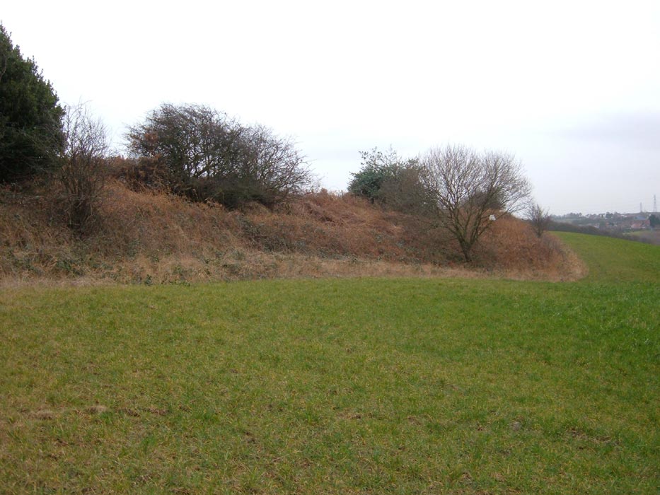
Earthworks (20-02-14) : Paul Needham
 This
shows clearly the M1 over the fence in the distance and is part of the
only surviving earthworks from the East and West YUR near the Stourton
end, (behind the large tree and down the embankment looking in my
direction is the perspective of the photo of the sleeper and chairs on
the fanny pit line) the entire field to
the right of shot has been reworked and has road access and I believe
was a works depot in the road construction, my first impression was the
slope down to the tree from the field was purely coincidental then i
noticed the stone wall near the tree, this is quite substantial and is
to be found along this area and behind to my left, then i realised the
"dip" I was stood in was sloping up to the embankment, the track plans
show another spur off the E+W down to
the coal yard area near Stourton
station
and the presence of a stone retaining wall in close proximity to the
fanny pit spur convinces me this is it. This
shows clearly the M1 over the fence in the distance and is part of the
only surviving earthworks from the East and West YUR near the Stourton
end, (behind the large tree and down the embankment looking in my
direction is the perspective of the photo of the sleeper and chairs on
the fanny pit line) the entire field to
the right of shot has been reworked and has road access and I believe
was a works depot in the road construction, my first impression was the
slope down to the tree from the field was purely coincidental then i
noticed the stone wall near the tree, this is quite substantial and is
to be found along this area and behind to my left, then i realised the
"dip" I was stood in was sloping up to the embankment, the track plans
show another spur off the E+W down to
the coal yard area near Stourton
station
and the presence of a stone retaining wall in close proximity to the
fanny pit spur convinces me this is it. |
 Embankment (27-02-14) : Paul Needham Embankment (27-02-14) : Paul Needham
This is taken further along embankment and looking
towards Stourton on the far left, the stone of the retaining wall for
the spur down towards the coal depot can be seen scattered about, (cream
dots behind fence, lower centre) vegetation appears to have caused its
collapse. |
Embankment (27-02-14) : Paul Needham
 This
shows the end of the embankment looking up the track in the Rothwell
direction, it is just possible far left to make out the tracks of the
midland line from Leeds, the M1 can clearly be seen but appears closer,
the road is actually going into the distance somewhat, the classic
embankment profile can clearly be seen, the fanny pit line will have
joined the former midland line around here but this is difficult to make
out due to the proliferation of saplings to the embankment left. this
area where i am stood has been extensively re worked due to a
construction camp being in this vicinity for the M1. This
shows the end of the embankment looking up the track in the Rothwell
direction, it is just possible far left to make out the tracks of the
midland line from Leeds, the M1 can clearly be seen but appears closer,
the road is actually going into the distance somewhat, the classic
embankment profile can clearly be seen, the fanny pit line will have
joined the former midland line around here but this is difficult to make
out due to the proliferation of saplings to the embankment left. this
area where i am stood has been extensively re worked due to a
construction camp being in this vicinity for the M1. |
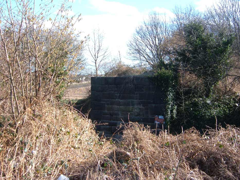
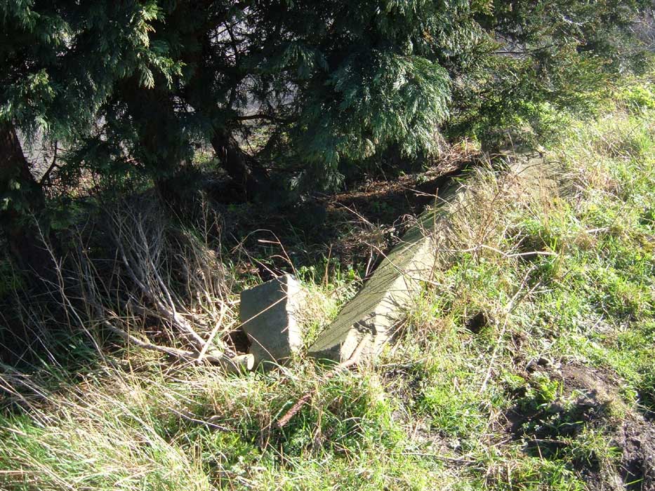
Bridge abutment (06-03-14) : Paul Needham
 This
shows the remaining abutment for the bridge to connect the EWYUR to the
midland line at Stourton, to the right is the former midland line, the
abutment carried the line over lines running from the inclined plane and
coal yard to the coal staithes on the Aire and Calder navigation, the
road you see takes their path today, the existing stone bridge to the
right performed the same task and was widened from 2 to 4 tracks a long
time ago, when i was very young i could not fathom the purpose of the
disused abutment as there was no trace whatsoever of the opposite side
even footings, the track plans and gradient plans in the book show a
second bridge nearer towards the camera , described as a viaduct there This
shows the remaining abutment for the bridge to connect the EWYUR to the
midland line at Stourton, to the right is the former midland line, the
abutment carried the line over lines running from the inclined plane and
coal yard to the coal staithes on the Aire and Calder navigation, the
road you see takes their path today, the existing stone bridge to the
right performed the same task and was widened from 2 to 4 tracks a long
time ago, when i was very young i could not fathom the purpose of the
disused abutment as there was no trace whatsoever of the opposite side
even footings, the track plans and gradient plans in the book show a
second bridge nearer towards the camera , described as a viaduct there
was never any trace of that either and we all know how substantial these
things are, given the surrounding site was derelict it seems a lot of
work to no purpose. |
Stourton station
 Retaining
wall (27-02-14) : Paul Needham Retaining
wall (27-02-14) : Paul Needham
This shows the retaining wall just to the right of the former Stourton
station, the top had quite a substantial metal barrier in its day, think
seaside promenade, it was very much in that style, this extended from
the brick pillar all the way to the far end, much nicer than the
British rail prison style we see to the left, the road was cobbled when
I was a boy and a great deal of the surrounding land was covered in grey
pit spoil although relatively flat. |
 Goods
entrance (06-03-14) : Paul Needham Goods
entrance (06-03-14) : Paul Needham
This shows what I believe to have been the goods
entrance to the former Stourton station, in my youth the road was
cobbled all the way up and you can see the remains of this through the
fence today, the fence was a more visually appealing wrought iron affair
with corresponding iron gate posts, it has always seemed a very
grandiose way to access British rail tracks and i believe it was the
remains of the goods access, since the station was on an embankment. |
 Bridge
(06-03-14) : Paul Needham Bridge
(06-03-14) : Paul Needham
This shows the current bridge taken from
approximately under the EWYUR bridge were it still in existence, the
rails set in the cobbles and tarmac extended towards the coal yard and
inclined plane behind the camera, they extended through the arches to
coke ovens, tar works, the copper works and to the right ,to coaling
staithes. |
 Bridge
sign (06-03-14) : Paul Needham Bridge
sign (06-03-14) : Paul Needham
This sign is on both sides of the current
bridge and showing the extent of the areas former use led to the naming
of the bridge which has been retained around 40 years after it all
ceased. |
Yorkshire Copper Works & coal staithes
 Yorkshire
copper works (13-03-14) Paul Needham Yorkshire
copper works (13-03-14) Paul Needham
This is the view through the existing ex midland coke oven bridge,
behind the green fence to the right was a line going to Yorkshire copper
works, the area where I am stood was the site of various tar and coke
works, there are rails still in the ground on this side of the bridge
but they are covered by fly tipping at this time so I took this
perspective in stead, the track plans show a spur coming off the midland
embankment from the right and joining the line beside the fence, there
was also a line coming through the left hand arch and turning sharply
towards the coal staithes. |
 Coal
staithe branch line (13-03-14) Paul Needham Coal
staithe branch line (13-03-14) Paul Needham
This shows the retaining wall on the coal staithe branch line, the
arches just seen were some small way to the right, I believe the
retaining wall was because this site was in use for the various tar and
coke works. |
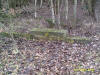
 Sleeper (13-03-14) Paul Needham Sleeper (13-03-14) Paul Needham
This shows some sleeper detail on the top of the coal staithe embankment
, there are a few such remains but this was easiest to capture. |
 Retaining
wall (13-03-14) Paul Needham Retaining
wall (13-03-14) Paul Needham
This shows the retaining wall further on and from
the opposite side to before, it has become higher as the staithe line
nears the water and has split into two discernable embankments. |
 Coal
staithe (13-03-14) Paul Needham Coal
staithe (13-03-14) Paul Needham
This shows the end of one of the coal staithes, it
is some small distance from the waters edge, the other is much nearer
the water and it is not possible to photograph without a boat!, there
are numerous large bolts fixed into the top on both, presumably to
attach the kind of large superstructures kindly uploaded elsewhere on
this site. |
 Metal
box (13-03-14) Paul Needham Metal
box (13-03-14) Paul Needham
This shows how flat the terrain is between the two
embankments, the steel structure is best described as a metal box like
construction, riveted at the corners much like a water tank, no idea of
its use, the previous staithe end is to our right-hand side, much of the
area is strewn with tar globules of varying size. |
 Track (03-04-14) Paul Needham Track (03-04-14) Paul Needham
This is a piece of the track that used to spur off the former midland
line to the Yorkshire copper works, the works is some way in the
distance and the bridge to access the coal depot on the former Stourton
station some way behind the camera, I wonder if more of the old track
survives under the tarmac? |
 Track (03-04-14) Paul Needham Track (03-04-14) Paul Needham
This is looking in the direction of the bridge with a freight train
stopped at red to put the area into context. |
Robin Hood collieries Jane, Castle & Bye pits branches
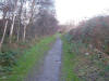
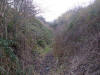
 Track (31-07-14) Paul Needham Track (31-07-14) Paul Needham
This is the line leaving the main line just after crossing Robin Hood
bridge, the mainline is just beyond the saplings to our left, we are
dropping down relative to it to turn right into Charlesworths coal depot
,in the middle of the picture is a green barrier which will be much
larger in the next view. |
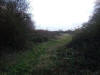
 Track (31-07-14) Paul Needham Track (31-07-14) Paul Needham
Here we are further along, the barrier doesn't really protect a vertical
drop as such so don't know why its there,
we come to a fence just beyond this view which is not very photogenic to
be fair, this is around a compound built beyond the former yard. |
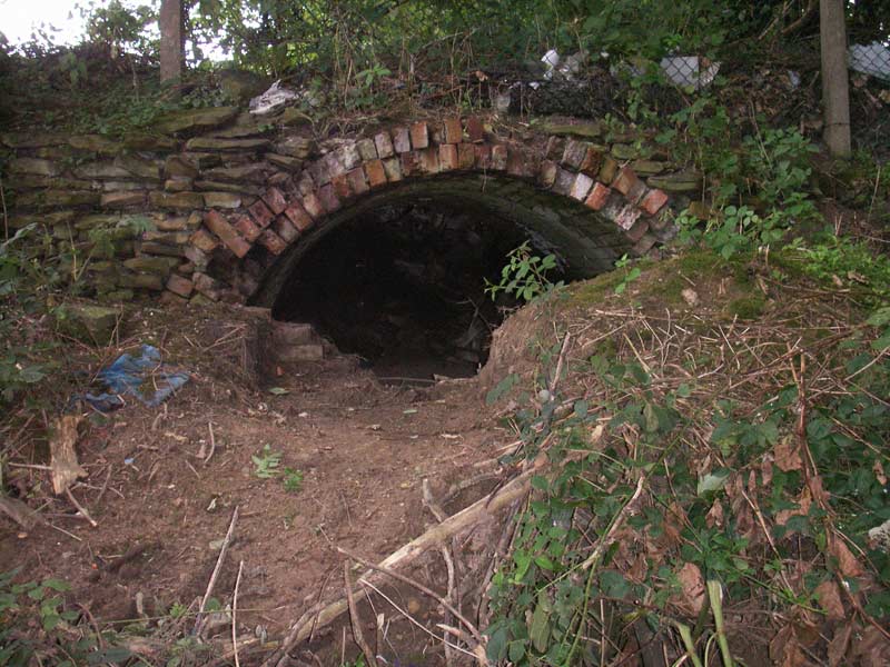
Rail bridge (31-07-14) Paul Needham
 This
is the view looking at the site of the rail over bridge to cross
Wakefield road near the halfway house pub, the houses are in the
background of the earlier pictures and the trading estate is now part of
Charlesworths former coal yard, immediately to our right was a tall
brick wall extending quite a distance, the wall was unusual in having
areas inset into it at regular intervals rather than just being plain,
in every one of these insets was a large painted letter making up the
legend j & J Charlesworths, the low wall near the grey transit is of
interest as it marks the point the bridge wing wall ended. This
is the view looking at the site of the rail over bridge to cross
Wakefield road near the halfway house pub, the houses are in the
background of the earlier pictures and the trading estate is now part of
Charlesworths former coal yard, immediately to our right was a tall
brick wall extending quite a distance, the wall was unusual in having
areas inset into it at regular intervals rather than just being plain,
in every one of these insets was a large painted letter making up the
legend j & J Charlesworths, the low wall near the grey transit is of
interest as it marks the point the bridge wing wall ended. |
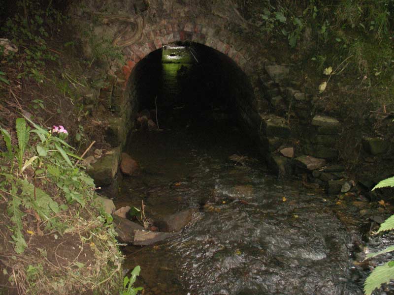
Rail bridge (31-07-14) Paul Needham
 This
shows a more detailed view of the area near the transit, the pointed
wall left is the top of a small bridge over a stream, the larger stone
blocks to its right are I believe the remains of the bridge, the stone
behind is shaped to a point equally from all four sides and must surely
be the lowest capping stone from the wing wall, I must admit to never
having seen any bridge or remains when I was here as a young boy, I had
always supposed the line crossed on the level, I guess I should have
looked at the track plans more closely. This
shows a more detailed view of the area near the transit, the pointed
wall left is the top of a small bridge over a stream, the larger stone
blocks to its right are I believe the remains of the bridge, the stone
behind is shaped to a point equally from all four sides and must surely
be the lowest capping stone from the wing wall, I must admit to never
having seen any bridge or remains when I was here as a young boy, I had
always supposed the line crossed on the level, I guess I should have
looked at the track plans more closely. |
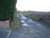
Castle pit branch Thorpe lower lane (28-08-14) Paul Needham
 This
is the view across the bottom of Thorpe lower lane at the point the
level crossing would have crossed with the castle pit branch, the
halfway house pub is about 400 yds to our left, the housing covers the
former charlesworths jane pit whose shaft I was "lucky" enough to see
close up as a young boy, the pit head gear was all in place then
although long since closed, the fencing left a lot to be desired though,
the grassed area is the grounds of a firm nearby and would have
contained sidings years ago. This
is the view across the bottom of Thorpe lower lane at the point the
level crossing would have crossed with the castle pit branch, the
halfway house pub is about 400 yds to our left, the housing covers the
former charlesworths jane pit whose shaft I was "lucky" enough to see
close up as a young boy, the pit head gear was all in place then
although long since closed, the fencing left a lot to be desired though,
the grassed area is the grounds of a firm nearby and would have
contained sidings years ago. |
 Castle
pit branch to Robin Hood (28-08-14) Paul Needham Castle
pit branch to Robin Hood (28-08-14) Paul Needham
The treeline marks the path of the castle pit branch as it travels down
to Robin Hood, the bridge just right of centre carries the M1 over
Thorpe lower lane, where the trees end is a field with a strange convex
profile which I am convinced marks landfill after possible opencast, the
gradient here is harsh and the book makes mention of the gates being
shut before a train departed as a precaution against runaways. |
 Castle
pit site (28-08-14) Paul Needham Castle
pit site (28-08-14) Paul Needham
This is the view looking up the former trackbed to the site of the
castle pit, this branch was built in 1899 and gone by the 1932 survey,
amazing to think it still remains as a path, wonder if the dog walkers
know what they are using?, still some sleeper indents about. |
 Castle
pit site (28-08-14) Paul Needham Castle
pit site (28-08-14) Paul Needham
The view looking the other way from the previous shot, again the
gradient strikes you, must have been hell to work. |
 Castle
pit branch trackbed (28-08-14) Paul Needham Castle
pit branch trackbed (28-08-14) Paul Needham
This is further on and the track ends in the aforementioned field, very
strange having to go uphill to enter it and it does look un natural,
rest of branch removed by the M1 build. |
 Castle
pit road access (04-09-14) Paul Needham Castle
pit road access (04-09-14) Paul Needham
This is almost certainly the road access to the castle pit, although it
appears to be a farm track it is on an embankment at the pit end making
farm access quite difficult but the pit area is on the same level hence
the assumption. |
  Castle
pit site (04-09-14) Paul Needham Castle
pit site (04-09-14) Paul Needham
These show the castle pit site at present day, quite a lot of the
characteristic grey spoil is still visible and very little vegetation as
compared to the other abandoned former pit sites, must confess to
feeling mildly anxious walking with the dog as one is aware in the early
1900's shafts were frequently covered with old rails and sleepers and
earth! |
 Castle
pit site (01-08-17) Samuel Eastwood Castle
pit site (01-08-17) Samuel Eastwood
There isn't much to see, a small woodland filled with lumps and bumps
and piles of brick and stone but there is a discernible rectangle
formation that fits a rectangle on OS maps I think it was a reservoir as
it fits a rectangle marks Res. See 1952 map on
old-maps.co.uk marked as
"old reservoir" |
_small.jpg) Castle
pit site (01-08-17) Samuel Eastwood Castle
pit site (01-08-17) Samuel Eastwood
The only remains is a bit of narrow gauge rail sticking out of the
ground, photo attached. |
Armitages quarry branch
   Milner
lane (07-08-14) Paul Needham Milner
lane (07-08-14) Paul Needham
The line having crossed wakefield road branched
towards the Charlesworth jane and bye pit and also to Armitages quarry,
these pictures show the quarry branch as it crossed Milner lane adjacent
to the M1 which is close by the overgrown brambles, a new housing
development occupies the opposite side and between we find what is
surely a remarkable scene, 3 of the posts survive along with one of the
"kissing gate" parts there are rails still in the ground
and best of all the cobbles that would have prevented carts damaging the
track are still there, amazing to think all this survives well over 100
years since opening. |
_small.jpg) _small.jpg) Milner
lane (01-08-17) Samuel Eastwood Milner
lane (01-08-17) Samuel Eastwood
The first photo looking south, both gate post on the left are still
there but I don't know about on the right as the hedge is thick and
high,
on the second photo I scrapped of the gravel with my boot to show that
the near rail is till there as well.
|
 Thorpe
lower lane (07-08-14) Paul Needham Thorpe
lower lane (07-08-14) Paul Needham
This shows the sole remaining buildings on the quarry site on this side
of Thorpe lower lane, the branches around Ardsley ( now dolphin) lane
are lost to new road alignments and housing. |
 Track
bed (07-08-14) Paul Needham Track
bed (07-08-14) Paul Needham
This shows where the railway came out of the main quarry site ( over the
road in distance) to cross the top of Thorpe lower lane and access some
more buildings and a small quarry, the gap in the wall to allow this
subsequently became the road access to part of the site , the blue item
is part of a dumped fibreglass boat mould. |
 Building (07-08-14) Paul Needham Building (07-08-14) Paul Needham
this is the building on site at this side of Thorpe lower lane, for
reference the boat mould is behind me, I must confess to passing this
derelect building many times over the years and being puzzled as to its
use, its quite substantial and really deserves to be a house, of course
being part of the quarry the stone would have been quite cheap. |
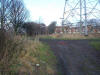
Rothwell Haigh colliery Beeston pit & Low Shops
pit spur
Track (03-04-14) Paul Needham
 This
is view looking at the point 6 lines crossed this trading estate road to
go into Rothwell Haigh colliery Beeston pit, the pit was some way to the
left and behind camera, the tall factory far right is the former? RAFA
works whose boundary fence is still curved when viewed from Google earth
showing this building to have been erected whilst the pit was still in
use, travelling up the A61 bell hill to the former tram shed and jaw
bones the pit was easily seen to the left, it had the winding gear clad
in brick as frequently seen with J and J Charlesworths picked out on
white on the side, a short row of terrace houses was nearby, all long
gone sadly. This
is view looking at the point 6 lines crossed this trading estate road to
go into Rothwell Haigh colliery Beeston pit, the pit was some way to the
left and behind camera, the tall factory far right is the former? RAFA
works whose boundary fence is still curved when viewed from Google earth
showing this building to have been erected whilst the pit was still in
use, travelling up the A61 bell hill to the former tram shed and jaw
bones the pit was easily seen to the left, it had the winding gear clad
in brick as frequently seen with J and J Charlesworths picked out on
white on the side, a short row of terrace houses was nearby, all long
gone sadly. |
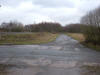
Track (03-04-14) Paul Needham
 This
is taken looking up wood lane in the direction of Rothwell, tramshed and
jaw bones some distance behind camera, the car is just coming out of the
line from the top of the incline that travelled under the road and was
bounded by the former hospital now the new build estate seen right, the
road dipped a little more than now making bus passengers bounce up on
their seats, a shallow cutting housed a cylindrical horizontal water
tank? on two brick pillars just at the side of the bridge backing onto
the hospital railings. This
is taken looking up wood lane in the direction of Rothwell, tramshed and
jaw bones some distance behind camera, the car is just coming out of the
line from the top of the incline that travelled under the road and was
bounded by the former hospital now the new build estate seen right, the
road dipped a little more than now making bus passengers bounce up on
their seats, a shallow cutting housed a cylindrical horizontal water
tank? on two brick pillars just at the side of the bridge backing onto
the hospital railings. |
 Track
(03-04-14) Paul Needham Track
(03-04-14) Paul Needham
This is the view looking up the trackbed in the
direction of the bridge, the point where the dark grey dirt path ends
centre image is the edge of the pavement, no bridge parapets or footings
remain unfortunately although I'm quite sure there was a large pipe at
the side of the bridge which is there today under the earth as you walk
out of the end, far right in distance was the water tower? |
 Track
(03-04-14) Paul Needham Track
(03-04-14) Paul Needham
This shows the trackbed as it levelled out farther on, the former
hospital site now estate is in the same area and to the right of the
pylon is the spur to the low shops pit site, the line of trees to the
left marks the line well. |
Fanny Pit
 Entrance (13-02-14) Paul Needham Entrance (13-02-14) Paul Needham
The entrance to the former fanny pit, nationalised
in the mid 40's and closed around 1986, I seem to recall reading it was
the last of the former Charlesworths pits to close, there is a picture
of the sinkers gang putting in a shaft in Rothwell Morrisons by the way,
and there is quite a lot of further information on the Rothwell country
park site which is its present use, according to the monument used to
mark its location the pit head is in the far distance left past the
green gate. |
 Embedded
tracks (13-02-14) Paul Needham Embedded
tracks (13-02-14) Paul Needham
This shows two lines still left on site embedded
in concrete, the one nearest the camera is standard gauge and leaves the
straight to curve in my direction, the one to the right is 3' 1" between
and also leaves the straight to curve this way, these are both some
distance from a curious monument supposedly at the pit head, pity about
the moss obscuring most of the detail. |
 Trackbed (13-02-14) Paul Needham Trackbed (13-02-14) Paul Needham
This is the track bed of the line from the Fanny
pit towards Stourton and is looking back towards the pit, notice the
line of the cutting to the right becoming deeper, the E/WYUR line from
Rothwell is approximately 200-400 yards right from the top of the
cutting, the edge of the cutting abounds with small pieces of coal no
doubt dropped over many years. |
 Trackbed (13-02-14) Paul Needham Trackbed (13-02-14) Paul Needham
This is the same trackbed at a point near the M1
motorway, it is looking back towards the earlier shot and the motorway
embankment is just behind me, the current main line (formerly the
midland railway) adjoins this disused pit line and is separated by an
old wooden fence at this point. notice through the saplings to the right
how deep the cutting has become since the last picture. |
Sleeper and chairs (20-02-14) : Paul
Needham
 This
shows a sleeper and chairs remnant on the fanny pit line at the opposite
side of the M1 to the previous pictures, the only reason I took the
photo was because of the sleeper, I had supposed the reason I was on
level ground to the right near the top of the embankment was because it
had been disturbed by the motorway building, however upon closer
inspection of the track plans in the book I believe I am standing on the
spur which came from the fanny pit line up and onto the East and West
Yorkshire line which is at the top of the embankment a short way to my
left. incidentally the chair not covered in moss is SR branded. This
shows a sleeper and chairs remnant on the fanny pit line at the opposite
side of the M1 to the previous pictures, the only reason I took the
photo was because of the sleeper, I had supposed the reason I was on
level ground to the right near the top of the embankment was because it
had been disturbed by the motorway building, however upon closer
inspection of the track plans in the book I believe I am standing on the
spur which came from the fanny pit line up and onto the East and West
Yorkshire line which is at the top of the embankment a short way to my
left. incidentally the chair not covered in moss is SR branded. |
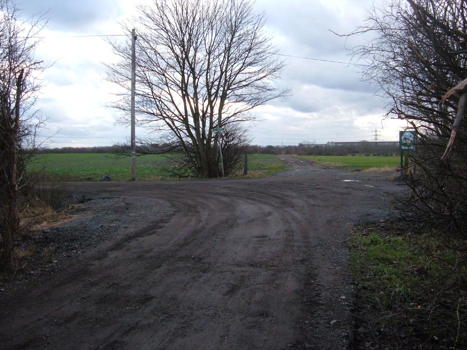
Low Shops pit
 Junction (10-04-14) : Paul Needham Junction (10-04-14) : Paul Needham
This is the line to low shops pit standing at the junction with the main
line, the pylon to my left is the same as seen in the other pictures,
the farmers track centre image is the trackbed to the pit and curves
around to the left to follow the trees. |
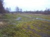
 Embankment (29-05-14) Paul Needham Embankment (29-05-14) Paul Needham
This shows the site of the embankment removed presumably by the farmer
to ease access but, since he only travels along it and does not come on
to it at any point except where it it is level to the field it does seem
a lot of work for no result, the triangle of lines is well beyond here
and low shops junction a little behind and to my left. |
 Trackbed (10-04-14) : Paul Needham Trackbed (10-04-14) : Paul Needham
This is further along at the point where the curve starts , the pit was
inside the trees. |
Pit entrance (10-04-14) : Paul Needham
 This
shows the pit entrance today, the tarmac road is low shops lane
Rothwell, unusually these days the developer has kept the name, so much
nicer having a link to the past in this way than some other invented
name, low shops lane was cobbled right up to wood lane and on the right
travelling down it were very low rhubarb shed type buildings on the
farmers field, beyond the anti motorcycle gate the path and edge of the
field are strewn with remains of the pits access road, very much of the
type of rough gravel seen at rose pit, I have never seen pit buildings
on site here even in my youth the odd sleeper lies in the dirt a
testament to its former glory. This
shows the pit entrance today, the tarmac road is low shops lane
Rothwell, unusually these days the developer has kept the name, so much
nicer having a link to the past in this way than some other invented
name, low shops lane was cobbled right up to wood lane and on the right
travelling down it were very low rhubarb shed type buildings on the
farmers field, beyond the anti motorcycle gate the path and edge of the
field are strewn with remains of the pits access road, very much of the
type of rough gravel seen at rose pit, I have never seen pit buildings
on site here even in my youth the odd sleeper lies in the dirt a
testament to its former glory. |
 Stream (10-04-14) : Paul Needham Stream (10-04-14) : Paul Needham
This shows old rail detail on a small stream that enters the site. |
 Trackbed (17-04-14) : Paul Needham Trackbed (17-04-14) : Paul Needham
This shows the line from on the far right, just after the low shops
junction to on the far left, near to the branch forking off to the
quarry, an embankment used to occupy this scene but has been removed, no
idea why as it didn't impede farm access, however the trees give a good
impression of its former extent. |
 Trackbed (17-04-14) : Paul Needham Trackbed (17-04-14) : Paul Needham
This is the view looking towards the bridge on Haigh road, the new
estate in the far distance being a common focal point, the line of
concrete posts to our right clearly show the boundary, the line of trees
and bushes to the left show the opposite side of the old trackbed, it
appears wider than one would suppose as a branch to a quarry came off
here to the left side and carried on behind me under an area now built
over by various firms. |
 Trackbed (17-04-14) : Paul Needham Trackbed (17-04-14) : Paul Needham
This is the view if one turns about 180 degrees from the previous
direction, the trackbed snakes around in an S formation and becomes
raised, somewhere along the S shape it becomes 3 tracks for a while, the
line of the overgrown embankment clearly visible against the ploughed
field. |
 Embankment(01-05-14)
: Paul Needham Embankment(01-05-14)
: Paul Needham
This shows the line as it forms an embankment from in the far distance
the quarry spur to the far left as it approaches the crossing gate posts
from the farmers access to these fields, the line went briefly to 3
tracks here probably to incorporate sidings to make up trains from the
various junctions aroundabout. |
Trackbed (17-04-14) : Paul Needham
 This
is the view from around the far side of the S at the point where it
briefly becomes level with the field, the two muddy wheel tracks neatly
identify the now single track as it passes between two rows of trees
(not easy to make out from here) the raised field to the far right was
the former quarry and landfill has given it a characteristic convex
shape, centre image is a concrete gatepost from the former crossing
here, now barely two feet remaining above ground as a guide to the
change in levels since the quarry was filled. This
is the view from around the far side of the S at the point where it
briefly becomes level with the field, the two muddy wheel tracks neatly
identify the now single track as it passes between two rows of trees
(not easy to make out from here) the raised field to the far right was
the former quarry and landfill has given it a characteristic convex
shape, centre image is a concrete gatepost from the former crossing
here, now barely two feet remaining above ground as a guide to the
change in levels since the quarry was filled. |
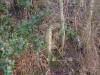
 Concrete
gate post (24-04-14) : Paul Needham Concrete
gate post (24-04-14) : Paul Needham
This shows the concrete gate post at trackside with the other post from
the "kissing gate" nearby, the field to the right being the former
quarry, when I was a boy this area was much flatter although the quarry
was a rough field then too. |
 Concrete
gate post
(24-04-14) : Paul Needham Concrete
gate post
(24-04-14) : Paul Needham
This shows the other post at other side of the track,
they controlled access from a dirt road in the direction of the left
hand tree which came out on Wakefield road between the angel pub and jaw
bones road junction, the quarry had a branch which also crossed this
dirt road although i have never seen any posts or traces of its
existence. |
 Single
line
(24-04-14) : Paul Needham Single
line
(24-04-14) : Paul Needham
This shows the single line as it passed beyond the
crossing, the dirt tracks are as seen in an earlier view and pass
between the trees as mentioned earlier, the raised portion in the
distance would not have been there before as this line drops steadily
into a cutting. |
 Cutting
(24-04-14) : Paul Needham Cutting
(24-04-14) : Paul Needham
This is the other side of the raised portion no doubt
added by the farmer to make crossing the track easier, the depth of
cutting in such a short distance being quite pronounced, we are
travelling towards the triangle of lines near to Robin Hood station. |
Foundation stone (04-27-15) : Paul Needham
  Large
foundation stone for a bridge long since gone and in fact I have never
been aware of its existence but found reference to it by chance on an
old local map, I believe it to be a right of way from wakefield road and
indeed most of the path is still there today down the side of the modern
estate, it is on the low shops branch approx. halfway between the
triangular junction and the level crossing near the former quarry, there
is only one stone left on the farm field side of the cutting opposite
the estate, suggest it supported a wooden bridge
as I think greater foundations required for anything else. Large
foundation stone for a bridge long since gone and in fact I have never
been aware of its existence but found reference to it by chance on an
old local map, I believe it to be a right of way from wakefield road and
indeed most of the path is still there today down the side of the modern
estate, it is on the low shops branch approx. halfway between the
triangular junction and the level crossing near the former quarry, there
is only one stone left on the farm field side of the cutting opposite
the estate, suggest it supported a wooden bridge
as I think greater foundations required for anything else. |
 Cutting
(24-04-14) : Paul Needham Cutting
(24-04-14) : Paul Needham
Further on still as the line twists in an S shape, the
cutting sides are filled with the stone strata that made them site the
quarry near here. |
 Concrete
distance post
(24-04-14) : Paul Needham Concrete
distance post
(24-04-14) : Paul Needham
Almost missed this as I had thought it was long since
gone, this is the remains of a concrete distance post, I think the iron
top read 1/4 mile and was right angled and visible from two sides , I
have a small fragment of the iron that was all that remained about 15
years ago. |
 Cutting
(24-04-14) : Paul Needham Cutting
(24-04-14) : Paul Needham
The cutting is becoming shallower and we are almost at
the triangle of lines, to the left went Rothwell and to the right Robin
Hood. |
 Cutting
(01-05-14) : Paul Needham Cutting
(01-05-14) : Paul Needham
This shows the view looking from the end of the cutting as the line
branches right to Robin Hood and the junction with the main Rothwell
route, behind the bush to my left the area is less entangled possibly
because it is made up of flat stone like found in the nearby quarry,
this was never apparent for years due to the gravel track ballast and
must have made forming this wide triangle junction very testing for the
navvies. |
Charlesworths inclined
plane
Charlesworths inclined plane (19-03-14) : Paul Needham
 This
is the view on Charlesworths inclined plane , this was reputedly worked
by sending down full wagons whilst bringing up empties, this line was in
use to transport coal to the staithes previously seen before the rest of
the network was built, a single track hump back bridge with a stone
marking its date and named "the cinder oven bridge" was on Pontefract
road near the present Arla depot, the white buildings seen in the
distance beyond the M1 are the same depot, the building of this firm has
removed all trace of this route on the opposite side of the motorway. This
is the view on Charlesworths inclined plane , this was reputedly worked
by sending down full wagons whilst bringing up empties, this line was in
use to transport coal to the staithes previously seen before the rest of
the network was built, a single track hump back bridge with a stone
marking its date and named "the cinder oven bridge" was on Pontefract
road near the present Arla depot, the white buildings seen in the
distance beyond the M1 are the same depot, the building of this firm has
removed all trace of this route on the opposite side of the motorway. |
 Shortened
stretch of incline (19-03-14) : Paul Needham Shortened
stretch of incline (19-03-14) : Paul Needham
This is a view further up this now shortened stretch of incline, another
factory is built on the level area at the top beside wood lane and there
are no traces of the undoubtedly substantial foundations needed for the
wire rope's pivot assembly. |
 Shortened
stretch of incline (19-03-14) : Paul Needham Shortened
stretch of incline (19-03-14) : Paul Needham
This is the view to the left of previous shots showing better the
gradient encountered on this two track route. |
 Shortened
stretch of incline (19-03-14) : Paul Needham Shortened
stretch of incline (19-03-14) : Paul Needham
This is the view to the right of the incline. |
Cinder Oven bridge (nd) : Paul Needham
 _small.jpg) Here
are 2 pictures of the now gone cinder oven bridge whilst new M1 link in
process of building, one is a close up of the parapet and date of
construction, also between the bridge and the existing ex midland line
is a line of trees suggesting the lower end of EWYUR embankment still in
place at this time , the other view is from the new link road now
Pontefract lane showing both its new level and the route of the inclined
plane down beneath the cinder oven road bridge and into to days cinder
oven rail bridge. Here
are 2 pictures of the now gone cinder oven bridge whilst new M1 link in
process of building, one is a close up of the parapet and date of
construction, also between the bridge and the existing ex midland line
is a line of trees suggesting the lower end of EWYUR embankment still in
place at this time , the other view is from the new link road now
Pontefract lane showing both its new level and the route of the inclined
plane down beneath the cinder oven road bridge and into to days cinder
oven rail bridge. |
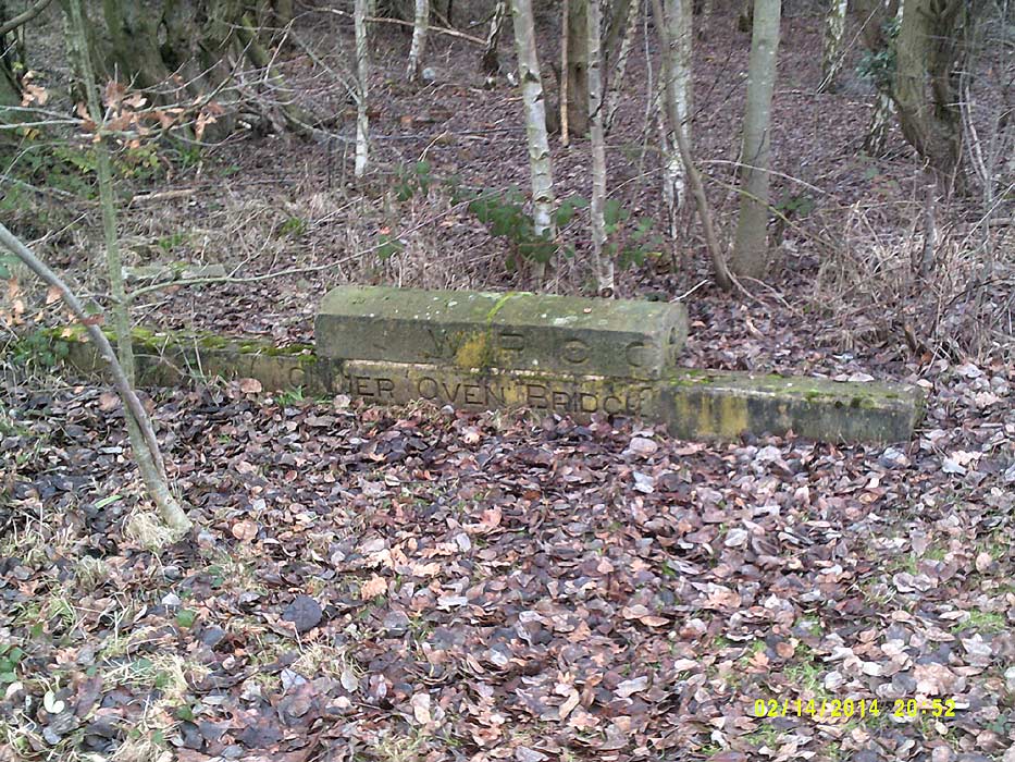
 Cinder Oven bridge (16-02-18)
: Paul Needham Cinder Oven bridge (16-02-18)
: Paul Needham
I recently found the various cinder oven parapet stones
on the country park site of the former fanny pit Rothwell. |
Victoria pit/pumping engine branch
 Victoria
pit/pumping engine branch (27-03-14) : Paul Needham Victoria
pit/pumping engine branch (27-03-14) : Paul Needham
This is the branch from the top level of the charlesworths incline to
the Victoria pit ,later pumping engine , here we are about 100 yards or
so from the incline, the houses to the right are an estate on wood lane
at Rothwell previous to this the line is a narrower footpath over a
ploughed field, the branch carries on through the fenced opening to stop
motorcycles and then begins to curve gently to the right. |
Note :
Mike Wing (18-06-14) Wood Lane crossing.
Paul Needham posed a question asking if he had
discovered the site of a crossing on Wood Lane of the line to the
Victoria Pumping House.
My research suggests that this crossing was a little closer to the Jaw
bones than Paul suggests and that it passed diagonally through what is
now the Allotment site on Wood Lane. If you view the area via the Google
Satellite there is a path shown from the top of Back Haigh Avenue
running behind the new Houses on Haigh Gardens.
This I believe is the route that the line in question took after it had
crossed the allotments.
http://tithemaps.leeds.gov.uk/ has a 1910 map of the area.
See also Google maps
https://maps.google.co.uk/?ll=53.756939,-1.493017&spn=0.001958,0.00379&t=h&z=19&source=gplus-ogsb
Wood Lane crossing (10-07-14) : Paul Needham
 Investigation
with old maps has confirmed Mike Wing's theory. This photo shows the
trackbed continuing past the first motorcycle barrier towards another
one ,and beyond the last tree on the left in curves to the right to
cross what is now an allotment on Haigh road. Investigation
with old maps has confirmed Mike Wing's theory. This photo shows the
trackbed continuing past the first motorcycle barrier towards another
one ,and beyond the last tree on the left in curves to the right to
cross what is now an allotment on Haigh road.
|
Haigh road (23-10-14) Paul Needham
 Here
is the view across the crossing point on Haigh road, it is indeed
correct as has been suggested that the line crossed around here, I have
consulted the 1900 and 1932 maps at our local library, it was gone by
the 1932 edition, the tall tree to the right of the terrace is the same
seen at the far distance in previous view, we are roughly 120' from
there and looking back towards our previous position, as I knew the
hedge here was quite overgrown and had changed little since I was a
child I was hopeful of finding remains inside it of the former use but
sadly not, behind are allotments, the new build to our right was
formerly an underground reservoir. Here
is the view across the crossing point on Haigh road, it is indeed
correct as has been suggested that the line crossed around here, I have
consulted the 1900 and 1932 maps at our local library, it was gone by
the 1932 edition, the tall tree to the right of the terrace is the same
seen at the far distance in previous view, we are roughly 120' from
there and looking back towards our previous position, as I knew the
hedge here was quite overgrown and had changed little since I was a
child I was hopeful of finding remains inside it of the former use but
sadly not, behind are allotments, the new build to our right was
formerly an underground reservoir. |
Victoria pit/pumping engine branch (27-03-14) : Paul Needham
 This
shows the view behind the next row of terraces to the crossing one, the
line veered left to right here somewhere into the allotments over the
hedge , interestingly behind the signpost ahead is a railway goods wagon
in slight disrepair, a number of years ago there was quite an outcry
locally over the Victoria school ( over fence to the extreme right) as
someone had just found out there was a pit here and they were concerned
as to its whereabouts and how it had been filled. This
shows the view behind the next row of terraces to the crossing one, the
line veered left to right here somewhere into the allotments over the
hedge , interestingly behind the signpost ahead is a railway goods wagon
in slight disrepair, a number of years ago there was quite an outcry
locally over the Victoria school ( over fence to the extreme right) as
someone had just found out there was a pit here and they were concerned
as to its whereabouts and how it had been filled. |
Robin Hood to Patrick Green & River Calder (Colliery line)
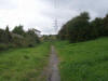 Track
bed (27-08-08) Luke Bennett / Ben Wildey Track
bed (27-08-08) Luke Bennett / Ben Wildey
Looking North from the Lofthouse and Methley joint line looking
at the over bridge now filled in as you can see this is canal lane
bridge with Baker lane running down to the right hand side of the photo
and Anerhine drive behind me. |
 Canal
lane Bridge (27-08-08) Luke Bennett
/ Ben Wildey Canal
lane Bridge (27-08-08) Luke Bennett
/ Ben Wildey
Canal lane Bridge with the line heading straight
onto Lofthouse colliery as a second route and the line I have
photographed heading on right from the bridge this been the reason why
the bridge is so long in length so it can handle the lines or so what I
can make out. |
 Track
bed (27-08-08) Luke Bennett / Ben
Wildey Track
bed (27-08-08) Luke Bennett / Ben
Wildey
Track bed North of Canal lane looking towards the
Rothwell direction. |
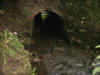 Tunnel
(27-08-08) Luke Bennett / Ben
Wildey Tunnel
(27-08-08) Luke Bennett / Ben
Wildey
Tunnel under track bed carrying a small river the
tunnel being two brick thick lining and stone walls to the bottom. |
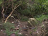 Cutting
(27-08-08) Luke Bennett / Ben
Wildey Cutting
(27-08-08) Luke Bennett / Ben
Wildey
Part infilled cutting with lots of industrial
tipping this been the only part of the cutting that looks somewhat of a
railway as most of the cuttings indeed the line has been subject to
industrial infill or movement. |
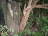 Gate
posts (27-08-08) Luke Bennett /
Ben Wildey Gate
posts (27-08-08) Luke Bennett /
Ben Wildey
Two old stone gate posts over the railway which
are hidden well away from view in the summer months. |
 Tunnel
(27-08-08) Luke Bennett / Ben
Wildey Tunnel
(27-08-08) Luke Bennett / Ben
Wildey
Entrance to the tunnel and to get a idea of the
size and shape of the thing me and friends had to dig a bit away to get
a fair idea of things and for photos we have named it Lofthouse hill as
there is no information as this is a tunnel or a over bridge. |
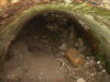 Tunnel
(27-08-08) Luke Bennett / Ben
Wildey Tunnel
(27-08-08) Luke Bennett / Ben
Wildey
The tunnel interior and it is well and truly
blocked and is used by a family of foxes by the looks of things. |
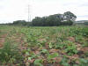 Embankment
(27-08-08) Luke Bennett / Ben
Wildey Embankment
(27-08-08) Luke Bennett / Ben
Wildey
Old railway embankment north of the tunnel which
just falls short of the M62 Motorway and would appear to have carried on
here and joined up to a line on a triangle at Rothwell this line can be
followed on google earth from canal lane north over the fields and over
M62 you just have to follow the line of trees and bushes that can be
seen from the birds eye view on google earth. |
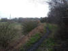 Newmarket
branch
(29-05-14) Paul Needham Newmarket
branch
(29-05-14) Paul Needham
This is the view as we enter the start of the Newmarket branch, we are
curving gently away from the Robin hood line at this point , a photo of
the actual junction is rendered difficult due to the trees. |
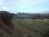 Trackbed
(29-05-14) Paul Needham Trackbed
(29-05-14) Paul Needham
A few yards further along Newmarket curve we can look back and see the
extensive spoil heaps created by the wire rope transit system whose
foundations are shown on here. |
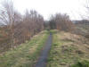 Trackbed
(29-05-14) Paul Needham Trackbed
(29-05-14) Paul Needham
This is further along Newmarket curve and the single trackbed can more
easily be recognised. |
 Becket
lane bridge (29-05-14) Paul Needham Becket
lane bridge (29-05-14) Paul Needham
This I had thought to be an occupation bridge but in the book and on old
maps of 1908 this is listed as Becket lane bridge, a dirt track ran from
Wakefield road under here to the village of Carlton near the former
queens pub, the abutments are quite well preserved and would no doubt
have appeared taller back then as the fields have changed somewhat. |
 Trackbed
(29-05-14) Paul Needham Trackbed
(29-05-14) Paul Needham
This is now the end of the trackbed here, it would have gone on level to
fields with a crossing listed near here but agriculture has reclaimed
it, |
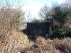 Cemetary
lane
(05-06-14) Paul Needham Cemetary
lane
(05-06-14) Paul Needham
This shows the bridge abutment over the lane to Carlton taken from the
robin hood side, the track from the ending in the middle of a field to
the top of the abutment is lost to agriculture now, I cant decide if the
mural opposite is just a defacement of the residuary board's white
notice or not. |
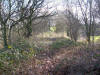 Trackbed
(05-06-14) Paul Needham Trackbed
(05-06-14) Paul Needham
This is the view down the trackbed from the top of the facing abutment
in the previous picture, the line used to curve slightly to our right
and
enter a cutting, the green visible upper centre is where this has
been infilled and grassed. |
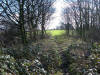 Trackbed
(05-06-14) Paul Needham Trackbed
(05-06-14) Paul Needham
This shows the end of the track as it enters the field, the horizon
marks the road level we would have travelled under and give a guide to
the cuttings former depth. |
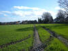 Trackbed
(05-06-14) Paul Needham Trackbed
(05-06-14) Paul Needham
Not sure if I'm supposed to walk this path but this is the line of the
former branch, a bungalow has been built this side of the bridge site
and we would have been in cutting not so many years ago. |
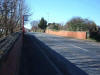 Green
lane
(05-06-14) Paul Needham Green
lane
(05-06-14) Paul Needham
This is looking back towards my previous location, the brick parapet
forming a substantial garden wall nowadays, the side over the left wall
is still cutting surprisingly. |
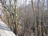 Ouzelwell
green lane
(03-07-14) Paul Needham Ouzelwell
green lane
(03-07-14) Paul Needham
This is the view over the other parapet on Ouzelwell green lane,
pleasantly surprised to find the cutting still there given opposite side
is long gone, the saplings are taller than the bridge! |
 Ouzelwell
green lane
(03-07-14) Paul Needham Ouzelwell
green lane
(03-07-14) Paul Needham
This is the view from the cutting from the other side, the white house
top centre is next to the bridge and to the left of this one can just
make out the brick parapet through the undergrowth. |
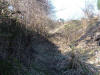 Trackbed
(03-07-14) Paul Needham Trackbed
(03-07-14) Paul Needham
This is from further on and at track level, the cutting levels out
behind me and peoples gardens have been extended into it. |
 Ouzelwell
green lane
(03-07-14) Paul Needham Ouzelwell
green lane
(03-07-14) Paul Needham
This shows the crossing posts and gate on Ouzelwell green lane at the
point where the cutting levels out not far from the previous shot, the
gate could be a farmers gate that post dates the lines closure, I'm not
sure, what is unusual is that in addition to these gates there are also
a set next to the line as is more customary, I had thought the farmer
had moved them from the line to a better place to restrict entry to his
field but I remember seeing them as a small boy in the late sixties on
trips to Wakefield with my mum so perhaps not. |
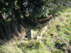 Ouzelwell
green lane
(03-07-14) Paul Needham Ouzelwell
green lane
(03-07-14) Paul Needham
These are the remains of the gate posts adjacent to the line. |
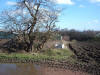 Ouzelwell
green lane
(03-07-14) Paul Needham Ouzelwell
green lane
(03-07-14) Paul Needham
I'm stood in the area of the former level crossing, the line beyond
would have been on an embankment rising to the level of the distant M62
motorway, the buildings to the left occupy the site of a small sidings
to the oil and grease works and a large single arch brick viaduct would
have spanned the road to Lee Moor, the edge of the field gives a guide
to the track formation here. |
Coal line
(17-07-14) Paul Needham
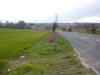 This
shows the view looking along the former embankment , this was a
considerable earthwork going from level behind me to cross the road to
lee moor near to the short terrace facing us, a substantial single arch
bridge with painted advertising carried the branch over and it then
curved to our right to cross where the M62 is now and join up to the
previous pic, its hard to believe an embankment was ever here now, it
must have been taken away to build the motorway, excellent period views
exist on Stanley history online .com, look under lee moor photos to see
the bridge and embankment as they once were. This
shows the view looking along the former embankment , this was a
considerable earthwork going from level behind me to cross the road to
lee moor near to the short terrace facing us, a substantial single arch
bridge with painted advertising carried the branch over and it then
curved to our right to cross where the M62 is now and join up to the
previous pic, its hard to believe an embankment was ever here now, it
must have been taken away to build the motorway, excellent period views
exist on Stanley history online .com, look under lee moor photos to see
the bridge and embankment as they once were. |
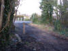 Castlegate
lane
(10-07-14) Paul Needham Castlegate
lane
(10-07-14) Paul Needham
This is the view across the crossing looking towards Castlegate lane,
the branch to Royds green lower ministry of food and later Waddingtons
to my left has been swept away by the enlarging of the test centre and
trading estate, not sure if the gate opposite is railway made or a later
edition but it looks the part, most of the posts are it situ save the
one on the floor nearest the camera, the track carried on to the right
to Newmarket. |
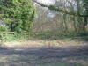 Trackbed
(10-07-14) Paul Needham Trackbed
(10-07-14) Paul Needham
This is looking down the track towards Newmarket, the single remaining
gate of previous picture is to our left, the muddied track in foreground
is farm access, very easy to mix up the two. |
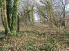 Trackbed
(10-07-14) Paul Needham Trackbed
(10-07-14) Paul Needham
This shows the trackbed further along, in the distance is a small house
next to a presumably farm crossing, at this point we are just beyond the
branch to Swithens pit. |
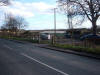 Farm/occupation
crossing
(10-07-14) Paul Needham Farm/occupation
crossing
(10-07-14) Paul Needham
This is the farm/occupation crossing, the previous view was to the right
here. |
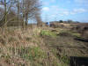 Trackbed
(10-07-14) Paul Needham Trackbed
(10-07-14) Paul Needham
This is the continuing trackbed along the property of the small house
which they very kindly although somewhat puzzled allowed me to take the
lorry and other vehicles are parked on the former course of Castlegate
lane, the junction of which had a level crossing, in all of these views
the trackbed is still contained behind typical concrete railway fence
posts. |
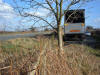 Trackbed
(10-07-14) Paul Needham Trackbed
(10-07-14) Paul Needham
At first glance a somewhat confusing scene, we are stood on the track
line, the line of kerb stones just rear of the lorry marks the edge of
the road as it curves across in front of us to form a crossroads which
the railway crossed on a level crossing, no posts or other clues are to
be found and the road far left now uses the former lines cutting, the
railway carried on straight through this view and the road became raised
up behind the vehicles to our right. |
Trackbed
(10-07-14) Paul Needham
 The
road raised to the right behind the trees is its former path, this newer
deviation was built in the former railway cutting around the early
1970's as we had a field trip from Rothwell Secondary Modern which
visited this site as the nearby M62 was being built, the road to
Wakefield running across the bottom of shot previously went uphill to
join the old road, this can still be seen although now a short cul de
sac, the railway carried on under Wakefield road in a deep cutting with
stone abutments supporting grey steel girder decks, an interesting
footnote, the earthworks to our left are obviously much wider now and
contain mostly rough grass, the earthworks to our right contain mostly
the kind of brambles we are all familiar with, suggesting they keep the
former railways path. The
road raised to the right behind the trees is its former path, this newer
deviation was built in the former railway cutting around the early
1970's as we had a field trip from Rothwell Secondary Modern which
visited this site as the nearby M62 was being built, the road to
Wakefield running across the bottom of shot previously went uphill to
join the old road, this can still be seen although now a short cul de
sac, the railway carried on under Wakefield road in a deep cutting with
stone abutments supporting grey steel girder decks, an interesting
footnote, the earthworks to our left are obviously much wider now and
contain mostly rough grass, the earthworks to our right contain mostly
the kind of brambles we are all familiar with, suggesting they keep the
former railways path. |
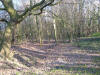 Cutting
(17-07-14) Paul Needham Cutting
(17-07-14) Paul Needham
This shows the in filled cutting on the other side of Wakefield road
looking towards the bridge , the cutting behind me could have been
shallow but would need to deepen considerably to pass under Newmarket
lane, again this was with metal sided single spans on stone abutments. |
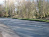 Bridge
(17-07-14) Paul Needham Bridge
(17-07-14) Paul Needham
This shows the view looking at where the bridge would have been across
Newmarket lane, long after the branch had closed this was still used to
store coal wagons for the pit, you could just make them out in the
depths as you passed above on a cycle if you stood up, presumably the
Newmarket pit was also responsible for keeping open this end of the
Methley joint railway as well. |
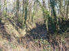 Cutting
(17-07-14) Paul Needham Cutting
(17-07-14) Paul Needham
This shows the view looking along the cutting which I was surprised to
find still in existence, strange how one side is in filled and the other
not, the amount of earth removed to lower Wakefield road must have been
placed in the former , the cutting carries on to the pit site becoming
level here, tree felling was taking place to build the new Wakefield
trinity rugby stadium and I was told this cutting is to become an access
road for this. |
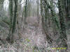 Cutting
(05-03-15) Paul Needham Cutting
(05-03-15) Paul Needham
This shows the cutting as of march 2015, an access road is being
constructed across it to reach warehouse units built on the former
Newmarket pit site, the infill and gradient woodworks are visible far
centre. |
 Cutting
(05-03-15) Paul Needham Cutting
(05-03-15) Paul Needham
We are standing at the cuttings lefthand edge having moved forward of
previous shot, the road bisects the old line and its former course
travels on beyond and through the trees, to our left the road adjoins
Methley lane and right curves into the former pit site now extensive
warehousing, This point would have been inaccessible before due to tree
growth. |
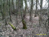 Cutting
(05-03-15) Paul Needham Cutting
(05-03-15) Paul Needham
Here we are beyond the road and the former railway has exited the
cutting and is at the pit site on level ground, it would have fanned out
here quite a bit, the moss covered sleeper to our left is of a length
commensurate with points use and the actual pit site just beyond the
trees. |
Nagger line
Lime Pit Lane
(10-07-14) Paul Needham
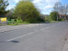 This
is the locally called "Nagger line" which ran from Lofthouse colliery to
the navigation at Stanley bottom, we are looking in the direction of
Lofthouse as the rails cross Lime Pit Lane Stanley Wakefield, this line
pre-dates the pits connection to both the great northern and
Charlesworths lines by some years according to the information board at
the colliery site, to our left is the location of the deep drop mine
made notorious by the 1890 something explosion, this is now a nature
reserve and walk. This
is the locally called "Nagger line" which ran from Lofthouse colliery to
the navigation at Stanley bottom, we are looking in the direction of
Lofthouse as the rails cross Lime Pit Lane Stanley Wakefield, this line
pre-dates the pits connection to both the great northern and
Charlesworths lines by some years according to the information board at
the colliery site, to our left is the location of the deep drop mine
made notorious by the 1890 something explosion, this is now a nature
reserve and walk. |
Newmarket Colliery Branch
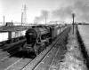 Newmarket
Colliery c1955 : c/o Michael Kaye (photographer unknown) Newmarket
Colliery c1955 : c/o Michael Kaye (photographer unknown)
The photograph was taken from Charlesworth East Signal Box c1955.
48 055 is heading towards Cutsyke on the Up line, in the background is
the Prince of Wales colliery stack. |
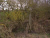 Newmarket
Colliery
(09-10-14) Paul Needham Newmarket
Colliery
(09-10-14) Paul Needham
This is on the side of the Methley joint at a point on or abouts the
short white vertical post seen in the above 1955 B/W picture trackside
near to photographer.
|
Newmarket Colliery
(25-09-14) Paul Needham
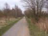 Difficult
almost to believe but this is the same view as above photo (1955 c/o
Michael kaye) although his is elevated suggesting the signal box
mentioned was used as a vantage point, to the left of his picture the
siding from Newmarket joins the methley joint at somewhat of an angle,
as witnessed by the fence posts and there is no sign of the junction
nearer Stanley station, today I am having to stand more to the left of
the former shot or you would see only trees, the only brickwork on the
track edge anywhere around here is near my feet, stumps of former
telegraph posts are in the trees in front of me, again I can see no sign
of the first junction Stanley side and although it is hard to see, if
you follow the surfaced path of the Methley joint into the distance
right at the furthest extent of sight is a small clearing to the left,
this is where the bench is sited at the point where the other junction
joins us, there is a wooden structure in the frees on our side too which
I think could be the light coloured post near the telegraph post to the
right of the 1955 shot, the chimneys far right are still there but you
need to move a lot to our right to see them, the pylons and slag heap
are long gone. Difficult
almost to believe but this is the same view as above photo (1955 c/o
Michael kaye) although his is elevated suggesting the signal box
mentioned was used as a vantage point, to the left of his picture the
siding from Newmarket joins the methley joint at somewhat of an angle,
as witnessed by the fence posts and there is no sign of the junction
nearer Stanley station, today I am having to stand more to the left of
the former shot or you would see only trees, the only brickwork on the
track edge anywhere around here is near my feet, stumps of former
telegraph posts are in the trees in front of me, again I can see no sign
of the first junction Stanley side and although it is hard to see, if
you follow the surfaced path of the Methley joint into the distance
right at the furthest extent of sight is a small clearing to the left,
this is where the bench is sited at the point where the other junction
joins us, there is a wooden structure in the frees on our side too which
I think could be the light coloured post near the telegraph post to the
right of the 1955 shot, the chimneys far right are still there but you
need to move a lot to our right to see them, the pylons and slag heap
are long gone. |
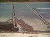 Newmarket
Lane (04-10-10) : Philip Myers Newmarket
Lane (04-10-10) : Philip Myers
The Remaining track Newmarket Colliery. |
Junction with Methley - Lofthouse joint railway
(25-09-14) Paul Needham
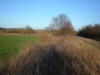 This
is the junction of Charlesworths Newmarket later Silkstone colliery with
the Methley joint rly, the surfaced path far right is the Methley joint
which has been made into a Sustrans type route, at the end of the green
field is some scrub running left to right, this is pit line which would
then curve towards us and occupy the brambles I am stood in as various
sidings joined the Methley joint, for want of a better description this
junction is the nearer of the two to Stanley station. This
is the junction of Charlesworths Newmarket later Silkstone colliery with
the Methley joint rly, the surfaced path far right is the Methley joint
which has been made into a Sustrans type route, at the end of the green
field is some scrub running left to right, this is pit line which would
then curve towards us and occupy the brambles I am stood in as various
sidings joined the Methley joint, for want of a better description this
junction is the nearer of the two to Stanley station. |
 Junction
with Methley - Lofthouse joint railway
(25-09-14) Paul Needham Junction
with Methley - Lofthouse joint railway
(25-09-14) Paul Needham
This is the other junction of the Newmarket colliery, best described as
the one nearest Methley in relative terms. this picture is the point
where the sidings would have joined the Methley joint which today is the
surfaced path to our right, behind us the former line would have curved
onto the vast colliery site but today due to its reclamation this is the
only part left in a condition that relates to its former guise |
Newmarket colliery Cringleworth staithes
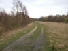 Trackbed
(18-08-14) Paul Needham Trackbed
(18-08-14) Paul Needham
This is the trackbed on the spur from Newmarket pit to the Cringleworth
coal staithes on the calder, the site boundary is to our left and the
line curves to the right in the distance. |
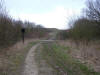 Trackbed
(18-08-14) Paul Needham Trackbed
(18-08-14) Paul Needham
This is the track further on from previous shot, the narrow tarmac path
is the Methley joint railway bed, there would have been a bridge here to
go under the Methley joint and continue to the staithes, the point
beyond here is much changed as pit spoil was deposited along this area
to quite a degree, said to be as a flood defence. |
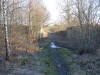 Bridge
abutments
(09-10-14) Paul Needham Bridge
abutments
(09-10-14) Paul Needham
This is the bridge abutments on the Methley joint railway a few hundred
yards towards Methley from the Newmarket coal staithes crossing, nice
stone abutments in good order, most probably riveted steel deck back in
the day, the track is a green lane that links to bottom boat main
street. |
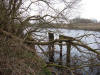 Coal
staithes
(18-08-14) Paul Needham Coal
staithes
(18-08-14) Paul Needham
This shows the timber columns from a loading stage, clearly they would
have extended some way out into the Calder. |
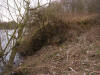 Coal
staithes
(18-08-14) Paul Needham Coal
staithes
(18-08-14) Paul Needham
This shows the remains of a stone staithe much the same as found at the
Stourton end of Charlesworths coal empire. |
Nelson pit
Nelson pit site (02-10-14) Paul Needham
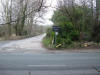 This
shows the entrance to the nelson pit site which is on the Rothwell side
of the Newmarket complex, its also a farm road as you can see, look into
the trees to our right and you can make out a street lamp used to light
the works car park on this side of Methley lane, its top is now twisted
by the trees branches, in front of this car park was a kind of "hounds
tooth" wall picked out in white and seen on many old photos, the road
swings to the left in the distance to go into the nelson site, the rails
across Metley lane are about 30 yards to our right on the main road. This
shows the entrance to the nelson pit site which is on the Rothwell side
of the Newmarket complex, its also a farm road as you can see, look into
the trees to our right and you can make out a street lamp used to light
the works car park on this side of Methley lane, its top is now twisted
by the trees branches, in front of this car park was a kind of "hounds
tooth" wall picked out in white and seen on many old photos, the road
swings to the left in the distance to go into the nelson site, the rails
across Metley lane are about 30 yards to our right on the main road. |
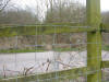 Trackbed
(02-10-14) Paul Needham Trackbed
(02-10-14) Paul Needham
We are looking down the aforementioned rails in the direction of
Newmarket pit, the lane over the fence is to the farm named on the sign,
this side of the fence is the nelson pit site and where the rails are
heading. |
 Access
road (02-10-14) Paul Needham Access
road (02-10-14) Paul Needham
Here is the access road further along, it curves to the right in the
distance to enter the old nelson pit site now some sort of stables but
no buildings remain , the rails are behind and to our right and their
presence is now lost perhaps removed, the area just off the road in
front is more car parking, to our left at an angle was a long siding on
the plans. |
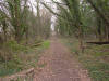 Trackbed
(02-10-14) Paul Needham Trackbed
(02-10-14) Paul Needham
This is the track bed of that siding, the fence far distant is to
prevent motor bikes and such like and immediately the other side is the
road shown previous. |
 Trackbed
(02-10-14) Paul Needham Trackbed
(02-10-14) Paul Needham
Turn around 180' from the previous view and this is what you see, in the
distance you come to the embankment for the dual carriageway to
Wakefield. |
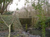 Slurry
pit (02-10-14) Paul Needham Slurry
pit (02-10-14) Paul Needham
Here are some remains of probably a slurry pit, the concrete overgrown
part centre holds back water in a small pond beyond, to its left is the
trackbed previous.
NB, the rails across the road picture see above photo from Philip Myers. |
Swithens & Spencer Pit Branch
Junction
(24-07-14) Paul Needham
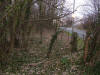 Here we are stood at the start of the branch to Spencer and Swithens
pits, the Newmarket branch is just out of shot over my left shoulder, we
are looking at the crossing gates and beyond them Castlegate lane , the
two posts are covered in ivy and easy to miss, they are located between
two more crossings on the main branch near to the former ministry of
food depot, it does appear from this vantage point that the line would
have crossed the road into the contemporary gates of the riding stables
but there is no trace of it beyond these gates until quite a bit beyond
the M62, there are brickwork remains on this side suggestive of a small
gatehouse. Here we are stood at the start of the branch to Spencer and Swithens
pits, the Newmarket branch is just out of shot over my left shoulder, we
are looking at the crossing gates and beyond them Castlegate lane , the
two posts are covered in ivy and easy to miss, they are located between
two more crossings on the main branch near to the former ministry of
food depot, it does appear from this vantage point that the line would
have crossed the road into the contemporary gates of the riding stables
but there is no trace of it beyond these gates until quite a bit beyond
the M62, there are brickwork remains on this side suggestive of a small
gatehouse. |
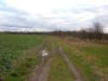 Trackbed
(24-07-14) Paul Needham Trackbed
(24-07-14) Paul Needham
This is to days view looking back towards the M62 whose route is just
beyond the line of trees left to right, the small mound is convenient as
it is the approximate location of Spencer pit, this area was opencast in
the 60's with walking draglines so although the farm track is in the
right area, all will be re constituted. |
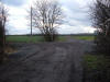 Trackbed
(24-07-14) Paul Needham Trackbed
(24-07-14) Paul Needham
This shows the trackbed from just beyond the crossing of dragon lane, I
was told by a chap also walking his dog who was somewhat surprised to
find me peering into the undergrowth around here that this was never a
crossing with gates, the lane crosses left to right with the previous
view beyond |
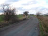 Trackbed
(24-07-14) Paul Needham Trackbed
(24-07-14) Paul Needham
If we turn 180' from before we see the former trackbed as it continues
towards Swithens farm, this part has actually been widened a little and
designated a continuation of Swithens street, the chap also said
ordnance was stored along the trackside during the last war and that he
used to work on the opencasting and he confirmed my memory of seeing
walking draglines in huge craters alongside this trackbed when I was a
small boy on walks here with my father, the line swept around to our
left shortly before the farm going beyond the pit into a siding. |
Sidings
(24-07-14) Paul Needham
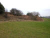 This is the end of the sidings here I believe, its in the right place,
has those brambles found mainly on railway beds and would appear to have
no other purpose amongst the otherwise rolling hill landscape, a
footpath goes along the top and as a young boy I walked along it and
encountered a single storey brick building nearer the farm, this had
porcelain wash house fittings still on the walls and the chap I met said
it was part of the pit pony stabling for the mine, it lasted in situ for
a great many years, being visible from all over Rothwell as it is on a
hill, how I wish I had gone back with a camera before the present
Swithens farm expanded. This is the end of the sidings here I believe, its in the right place,
has those brambles found mainly on railway beds and would appear to have
no other purpose amongst the otherwise rolling hill landscape, a
footpath goes along the top and as a young boy I walked along it and
encountered a single storey brick building nearer the farm, this had
porcelain wash house fittings still on the walls and the chap I met said
it was part of the pit pony stabling for the mine, it lasted in situ for
a great many years, being visible from all over Rothwell as it is on a
hill, how I wish I had gone back with a camera before the present
Swithens farm expanded. |
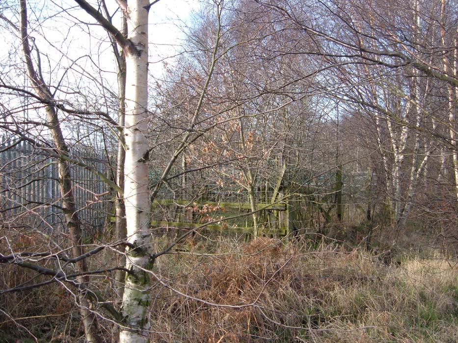

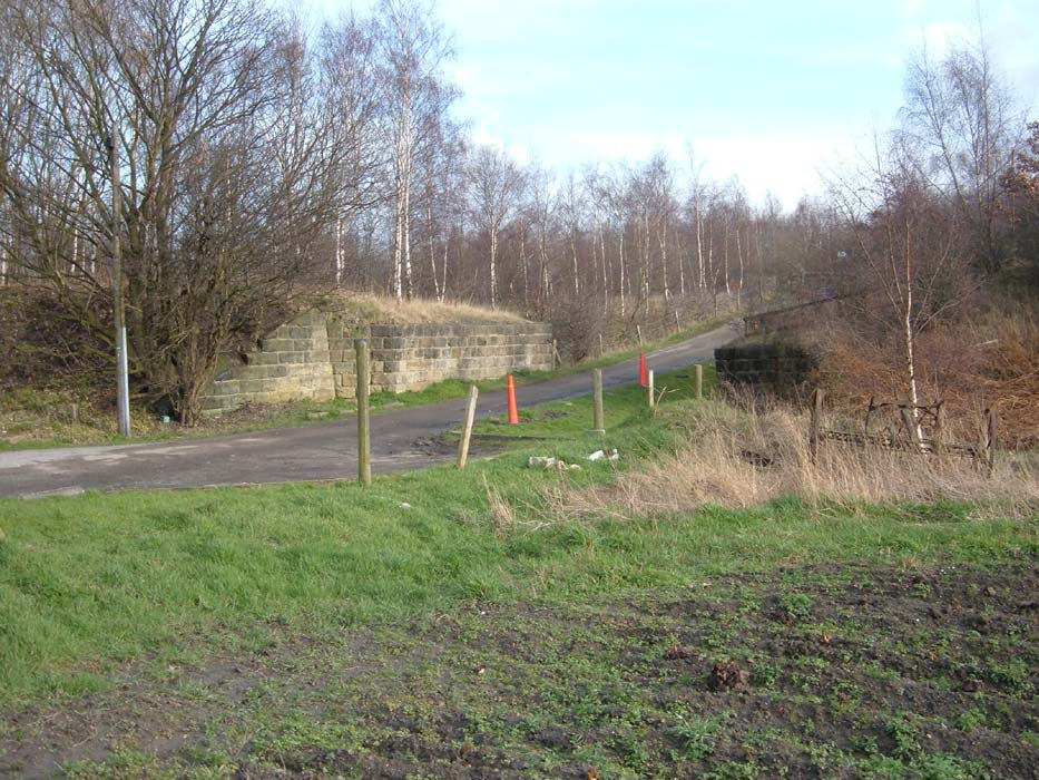


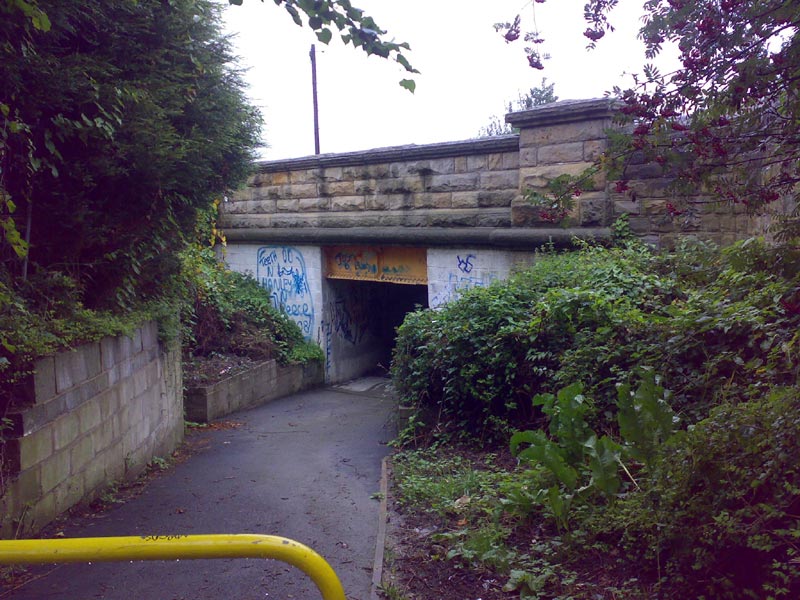
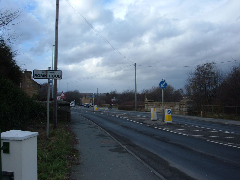


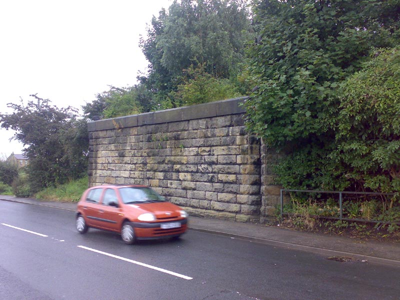
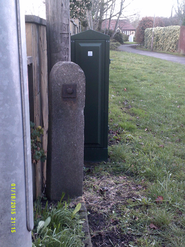
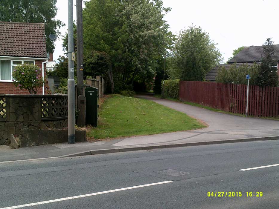

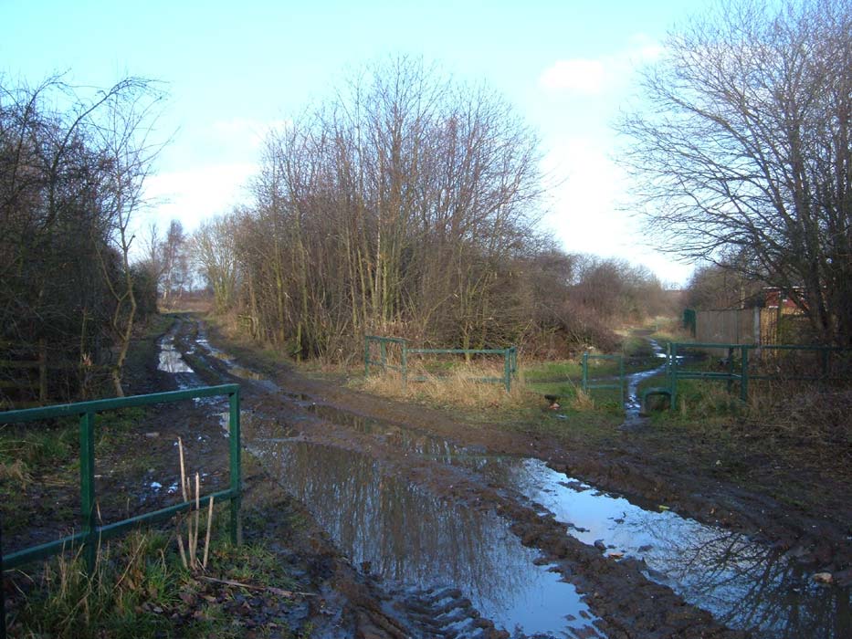
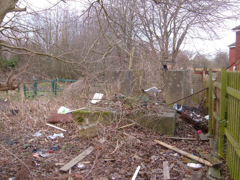
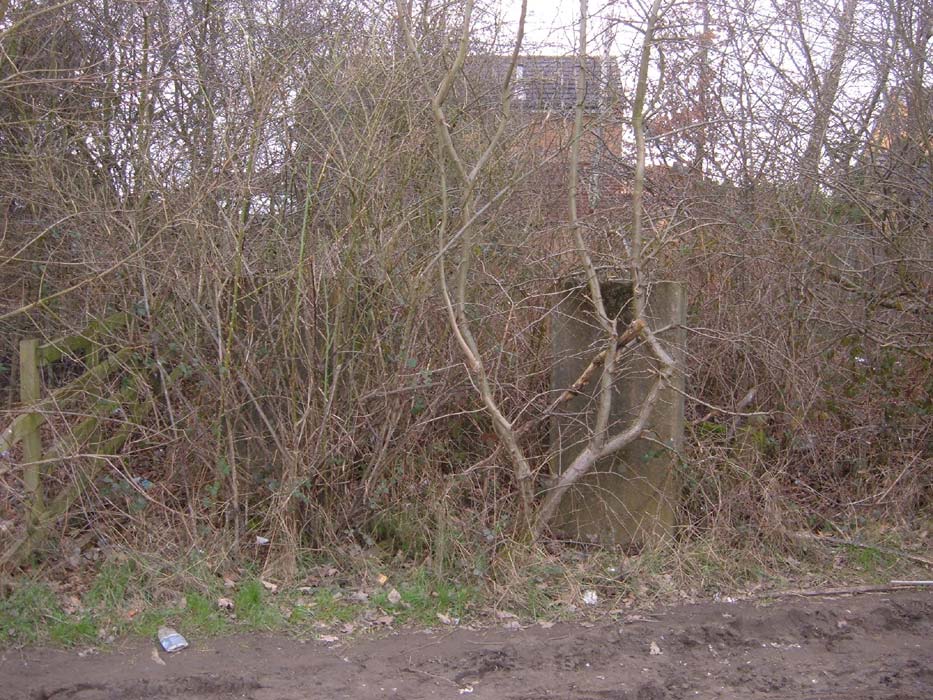


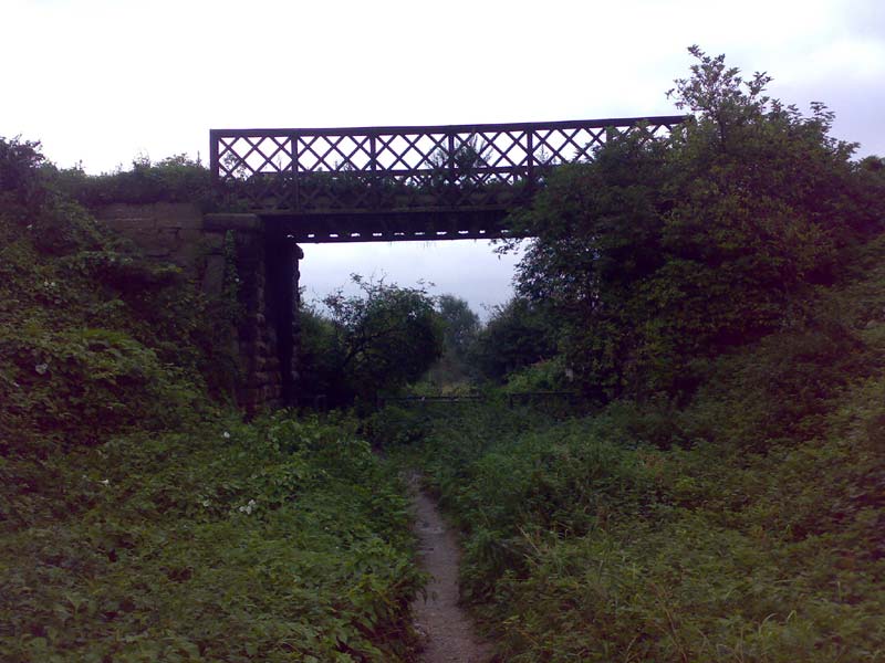

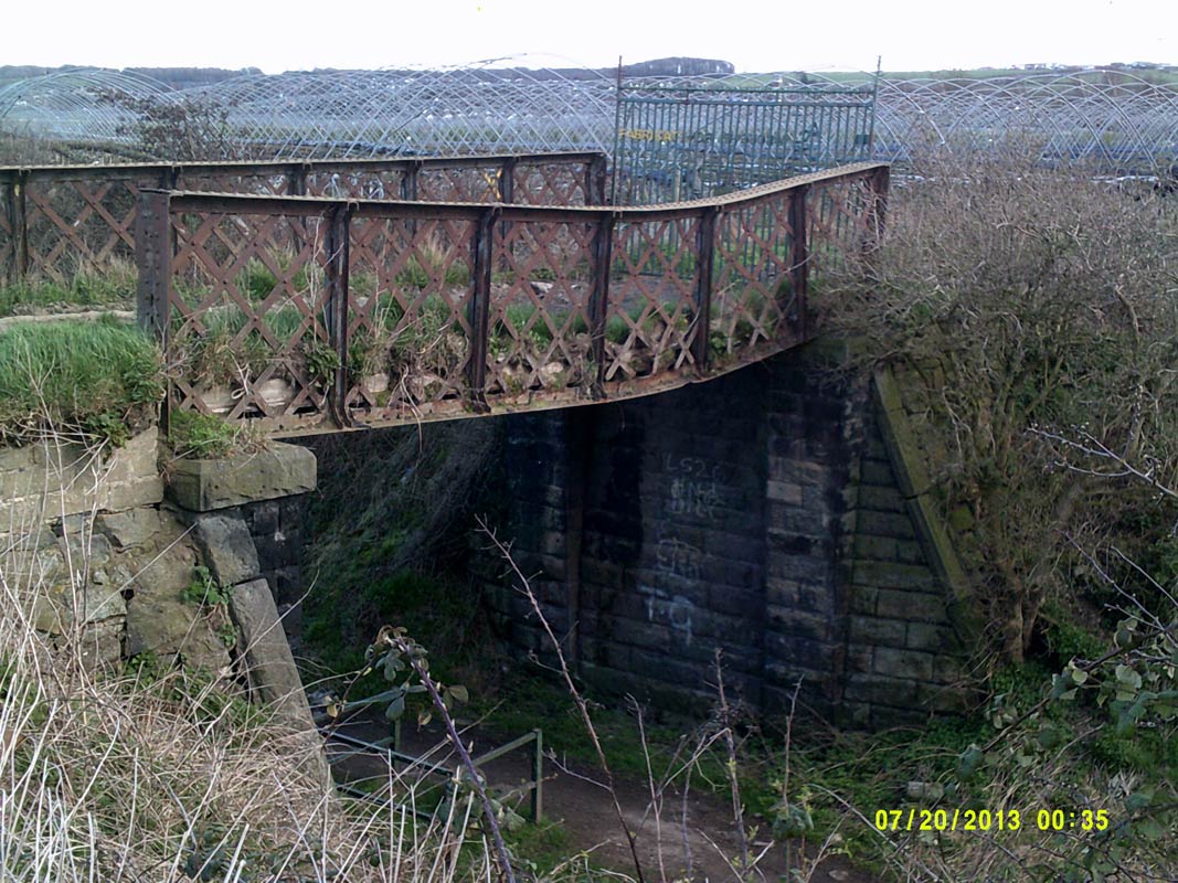
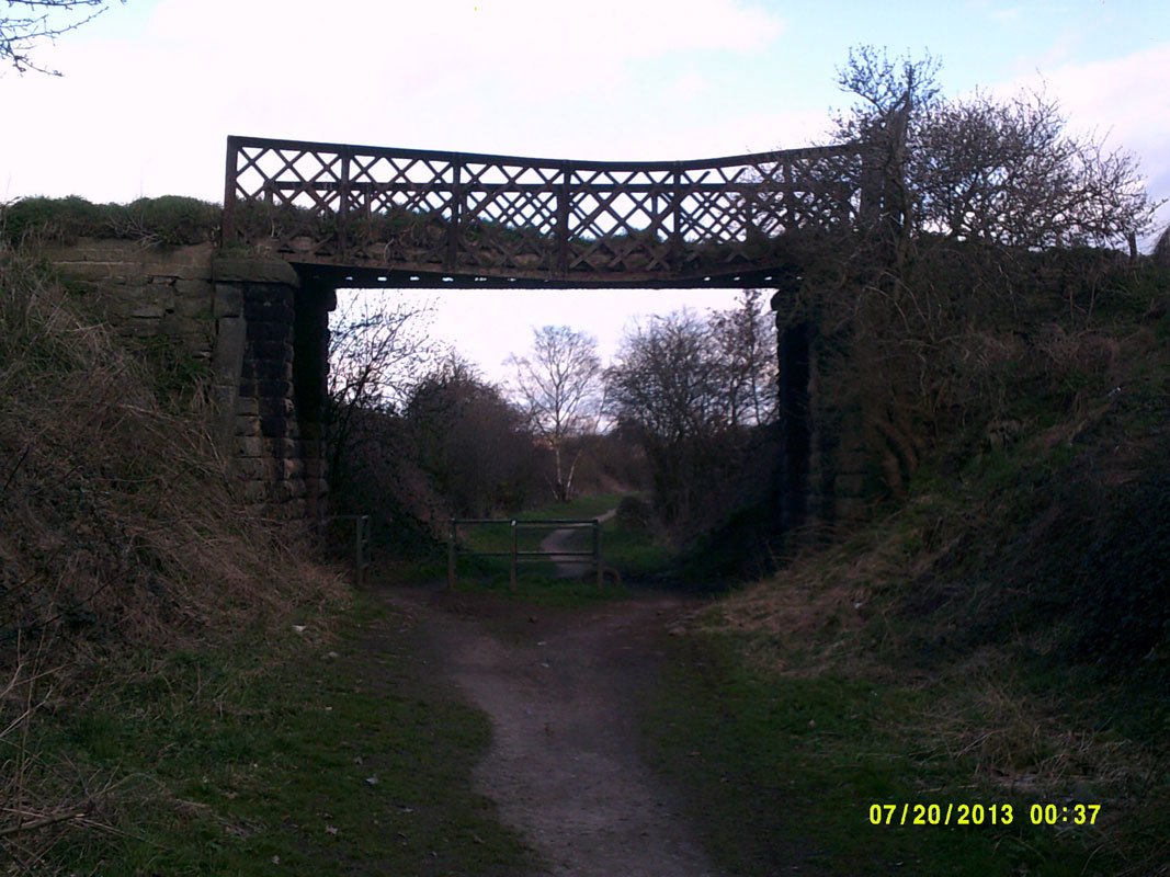
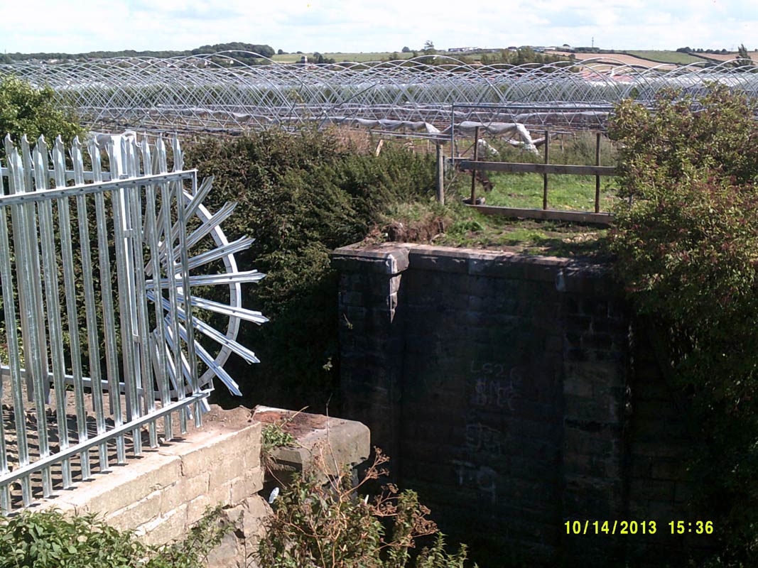

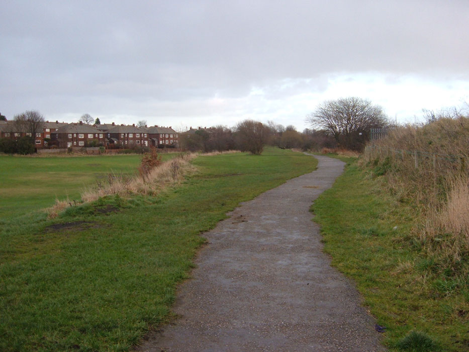

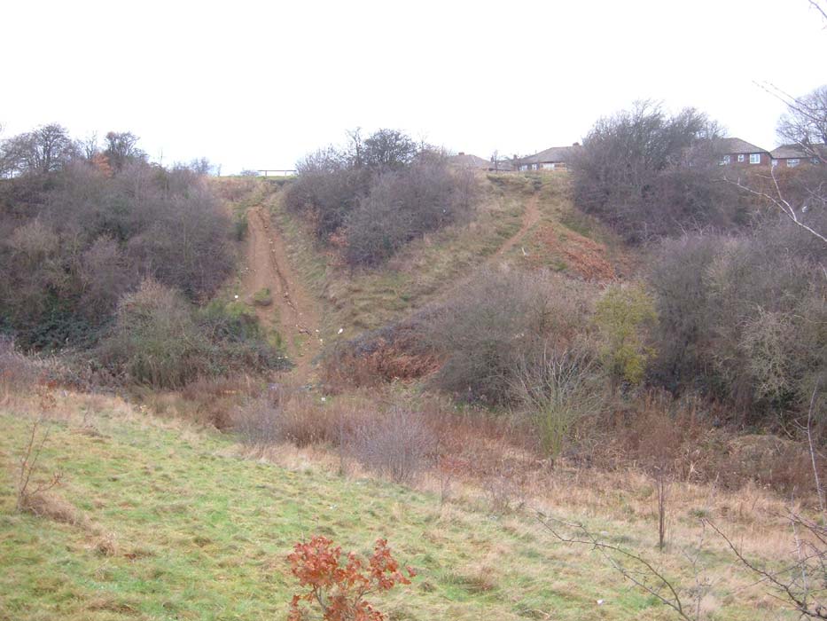

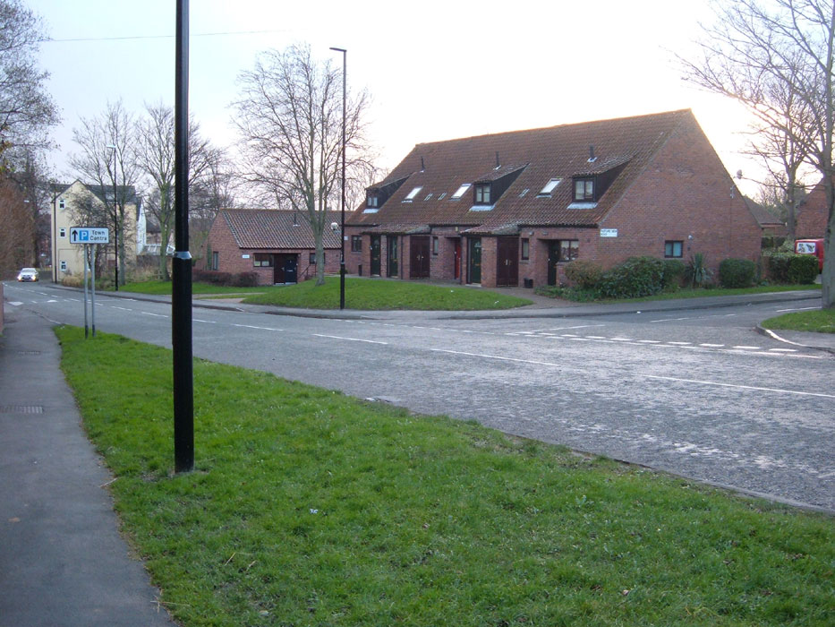
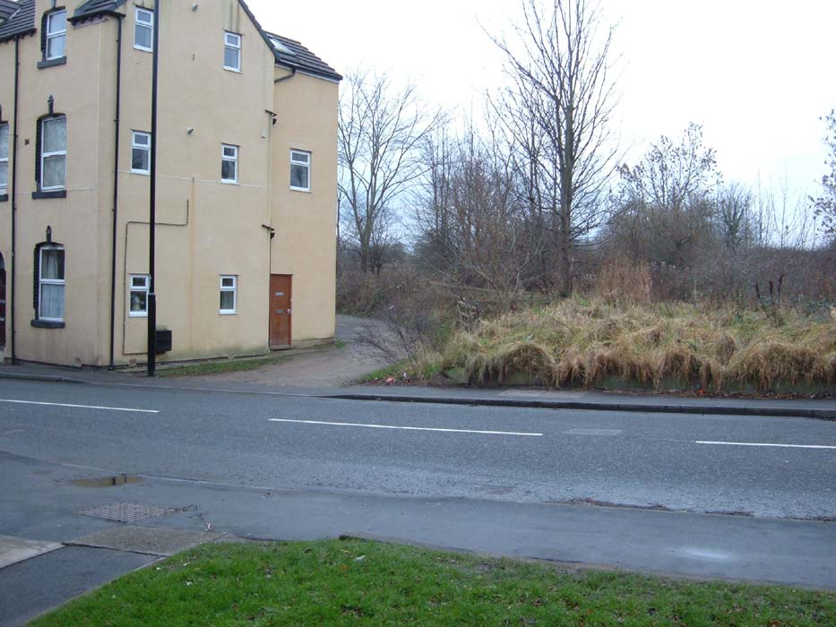

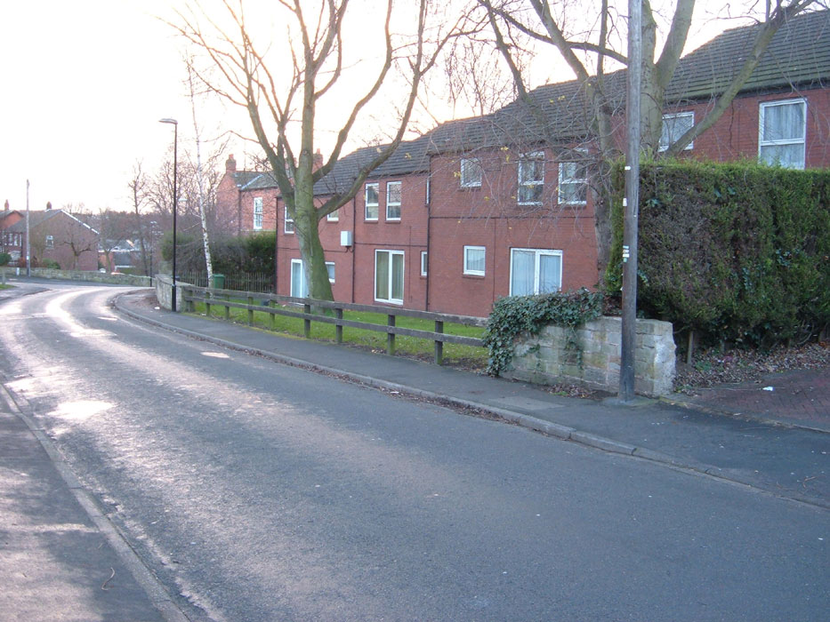

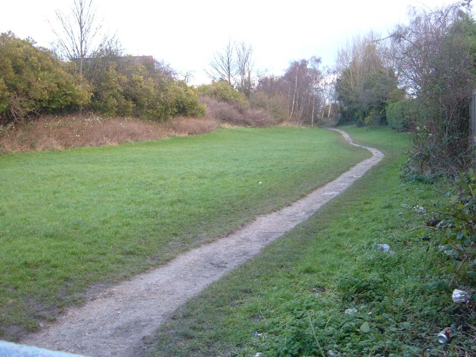

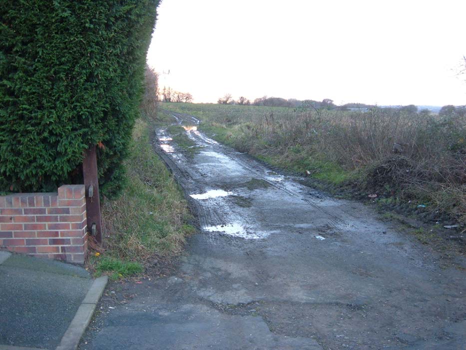

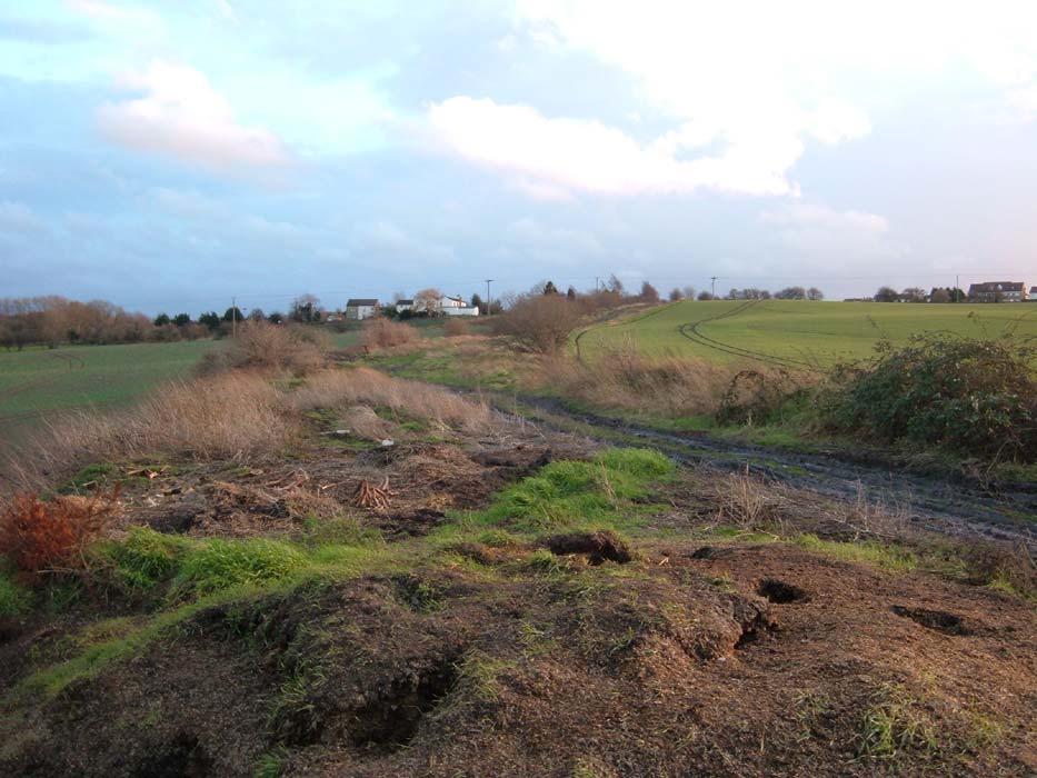
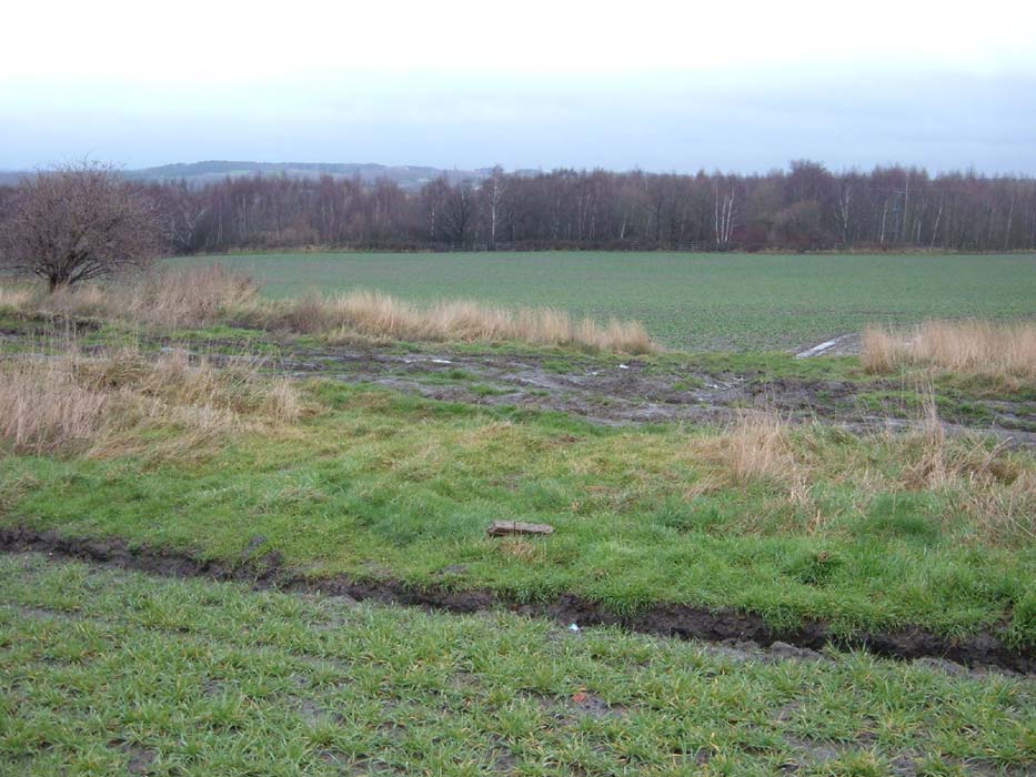
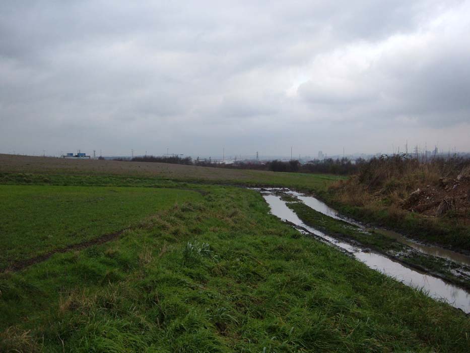

.jpg)
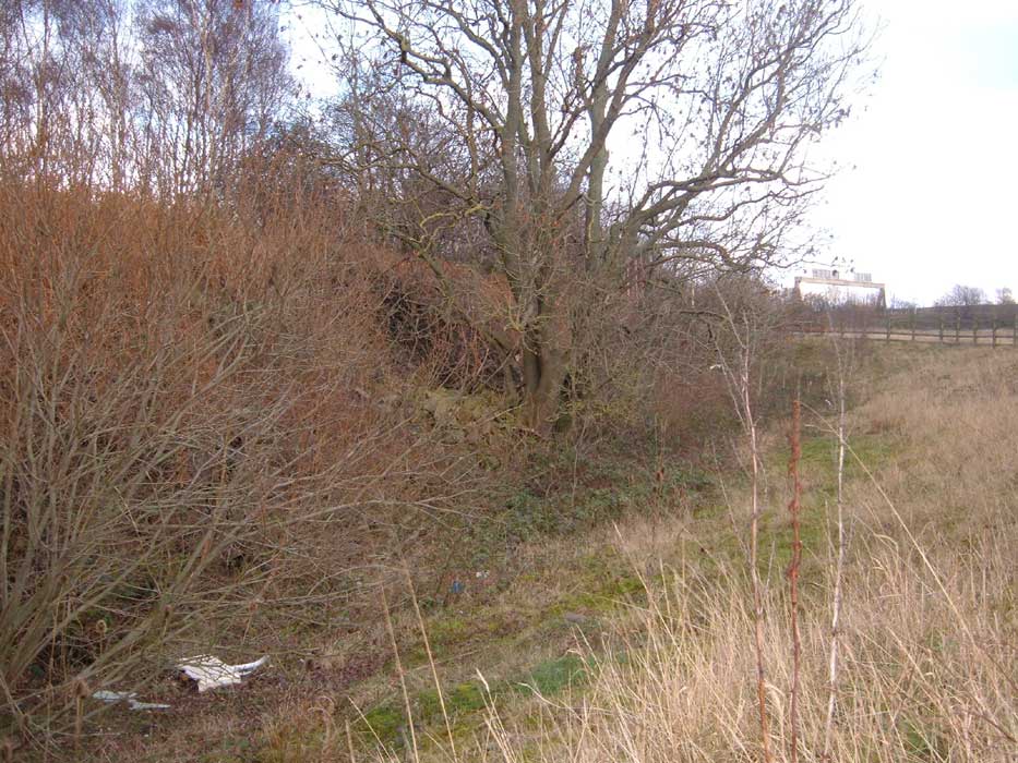
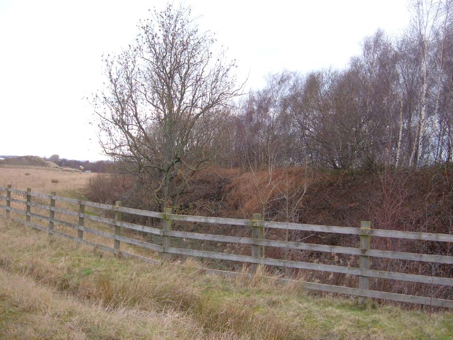
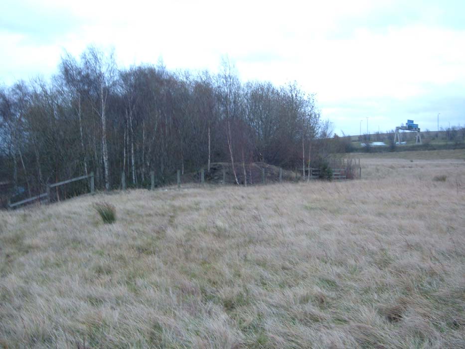


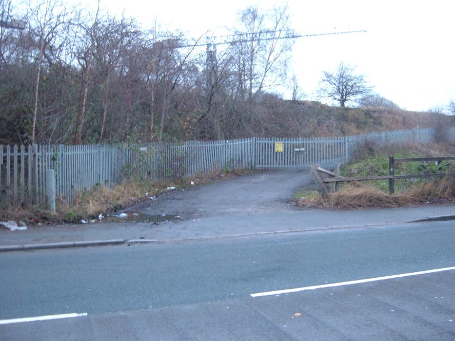
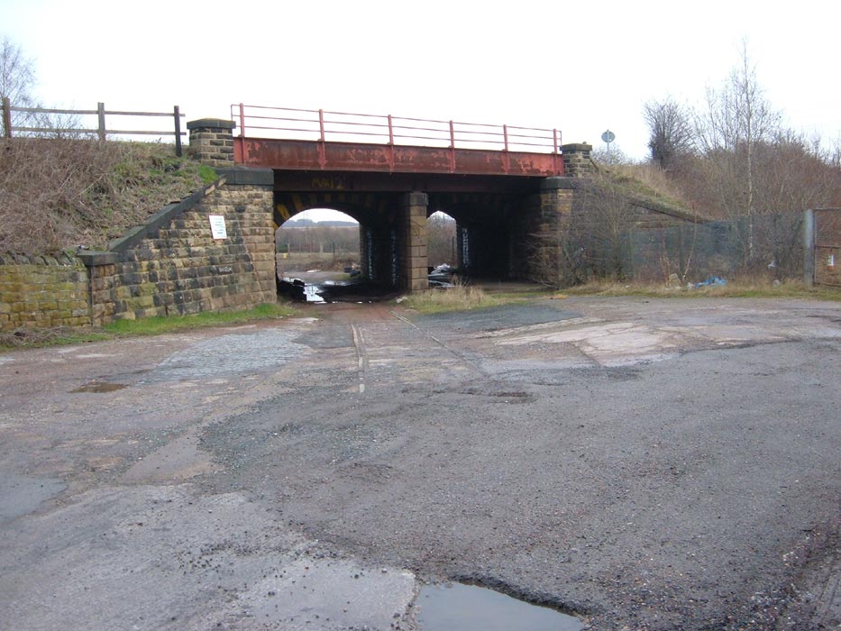
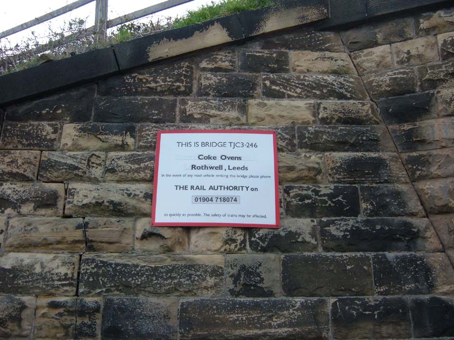
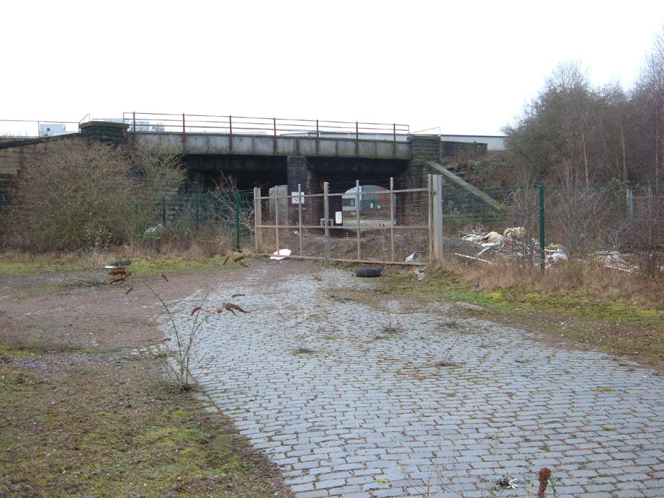
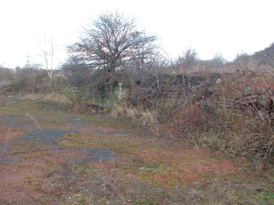
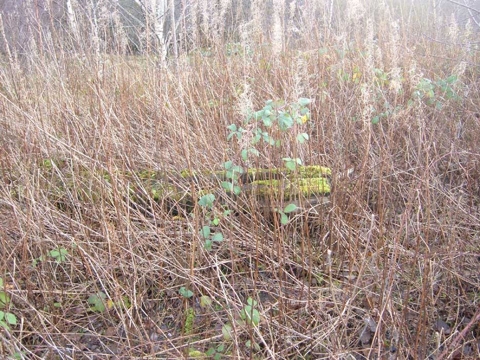

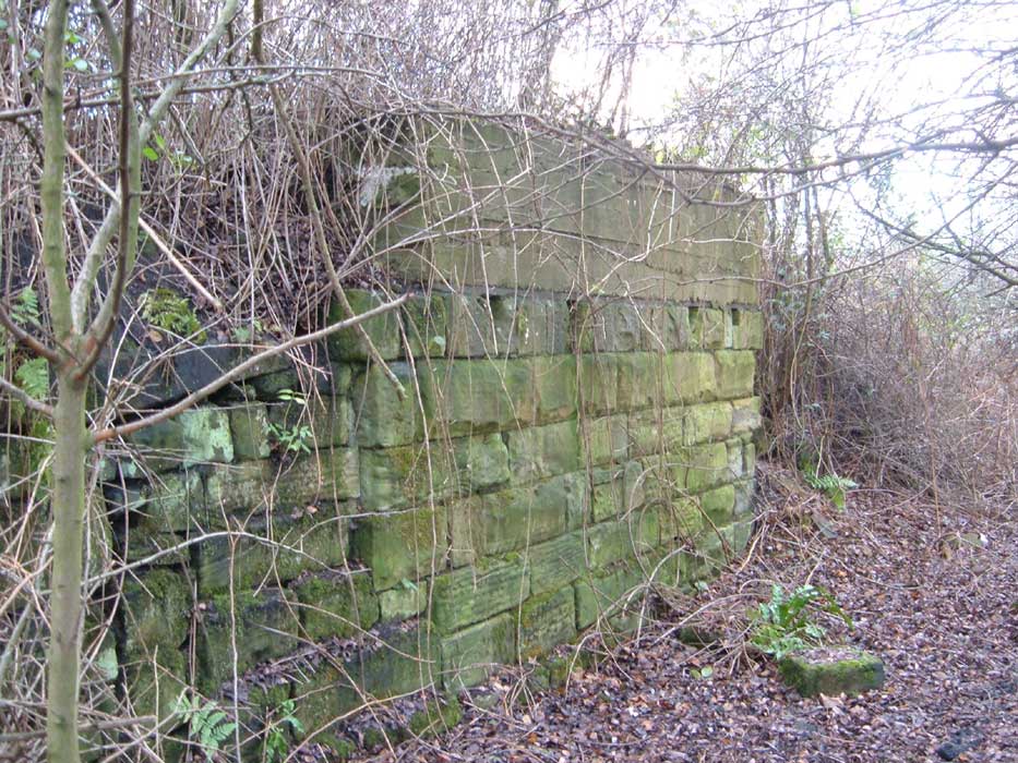
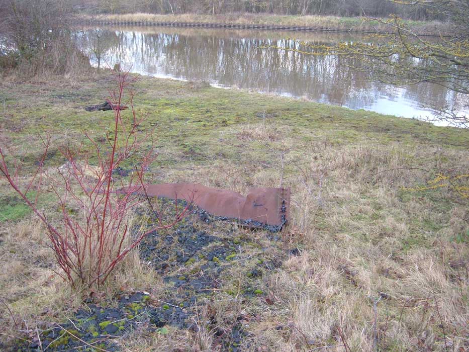

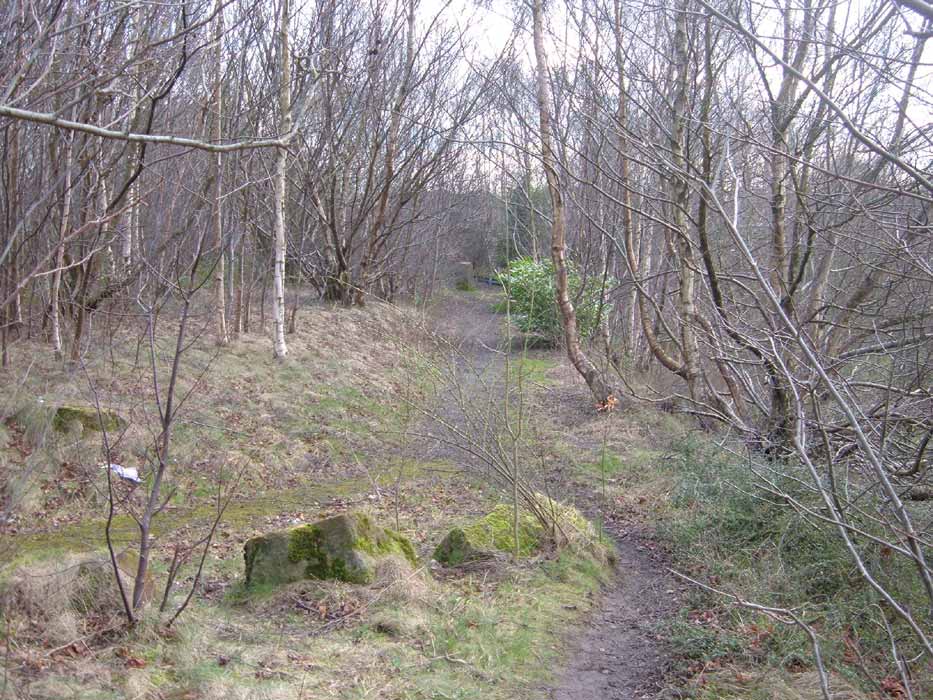
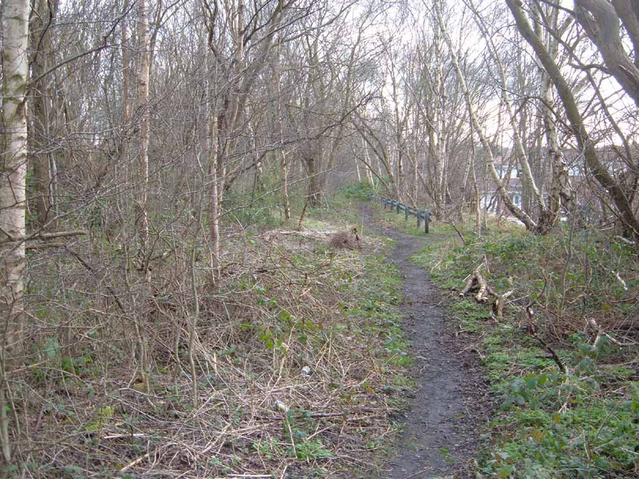

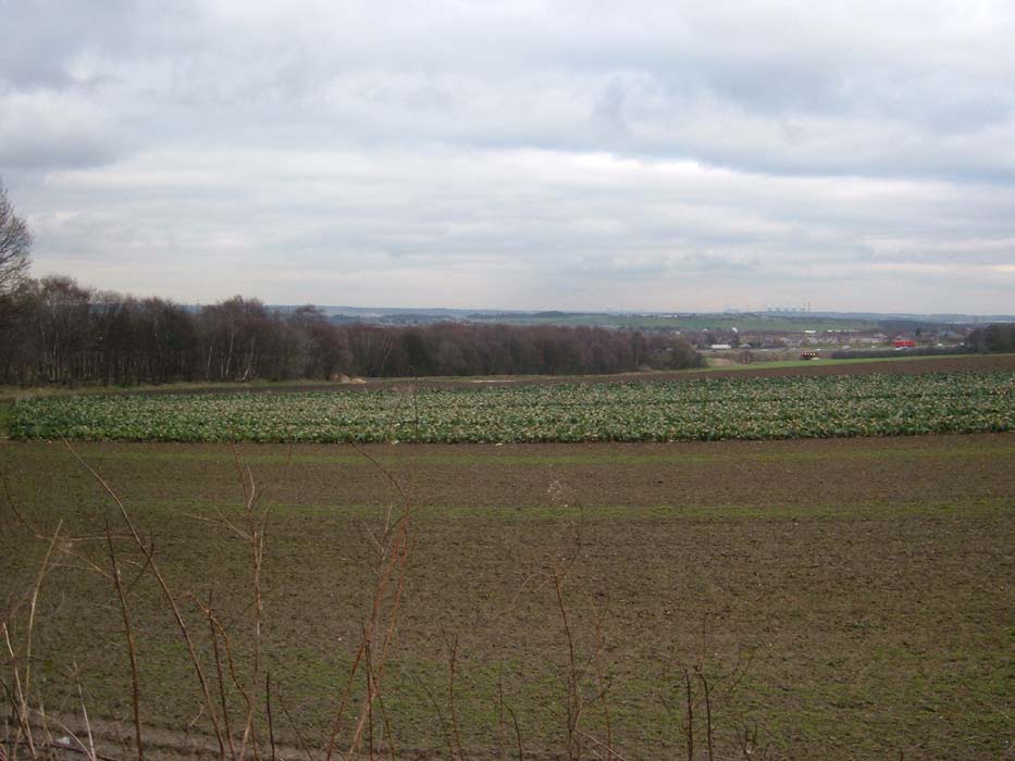
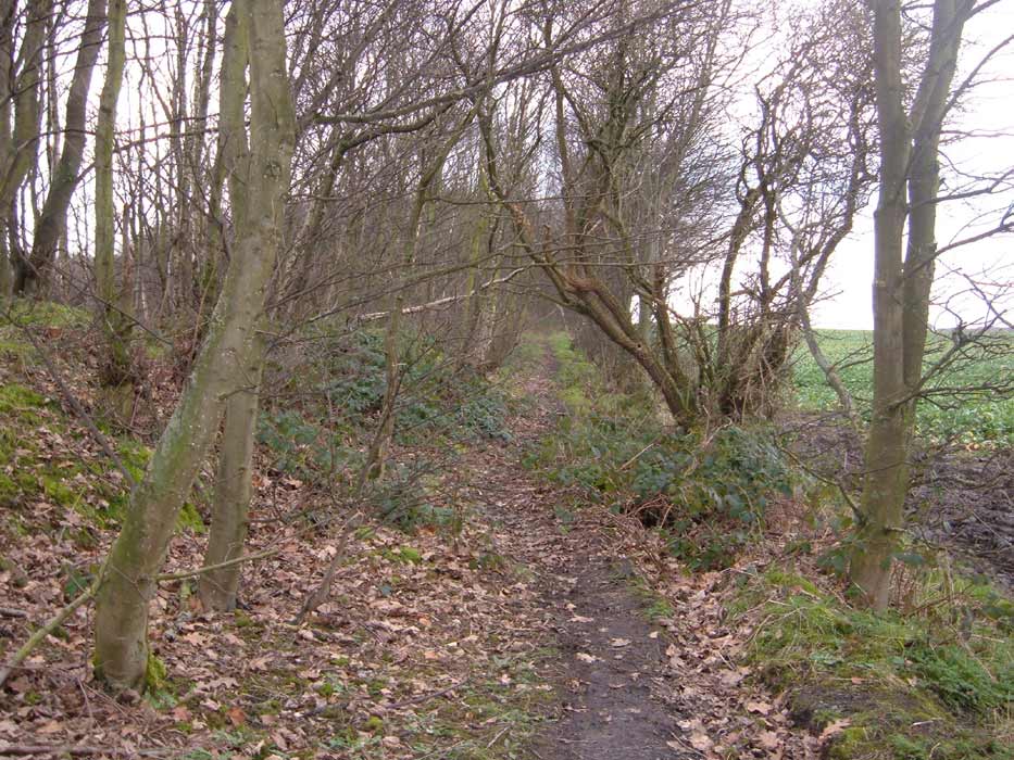


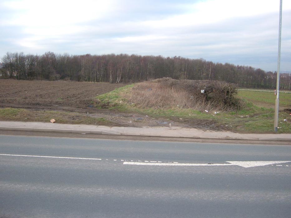
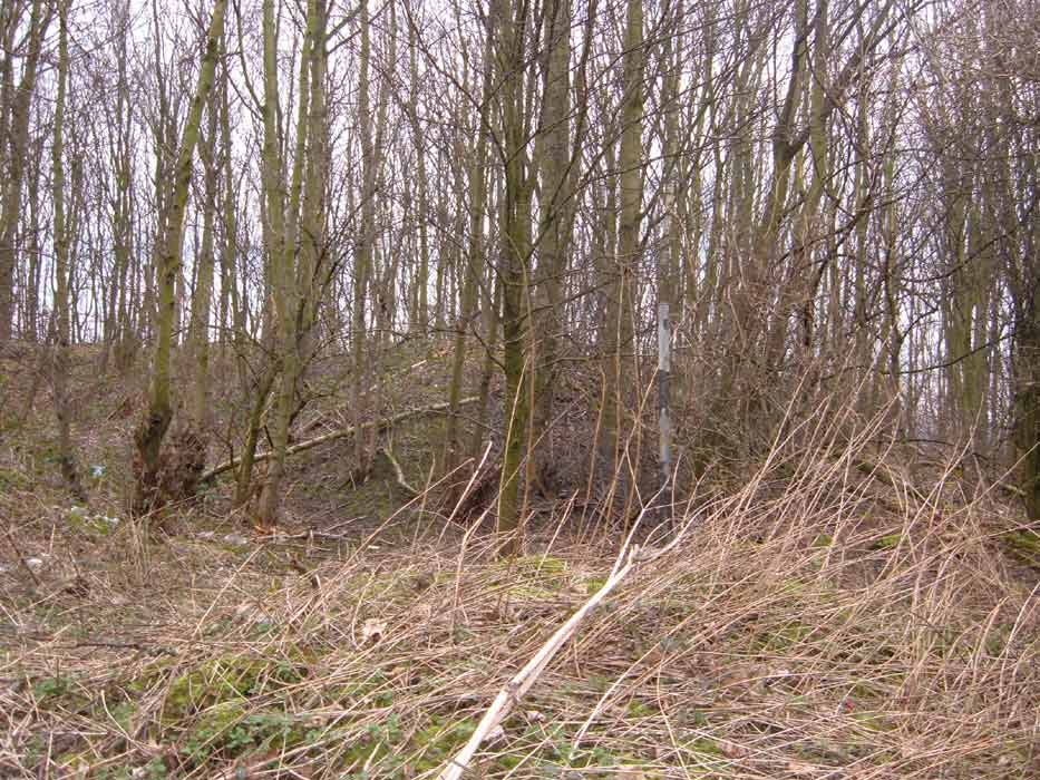
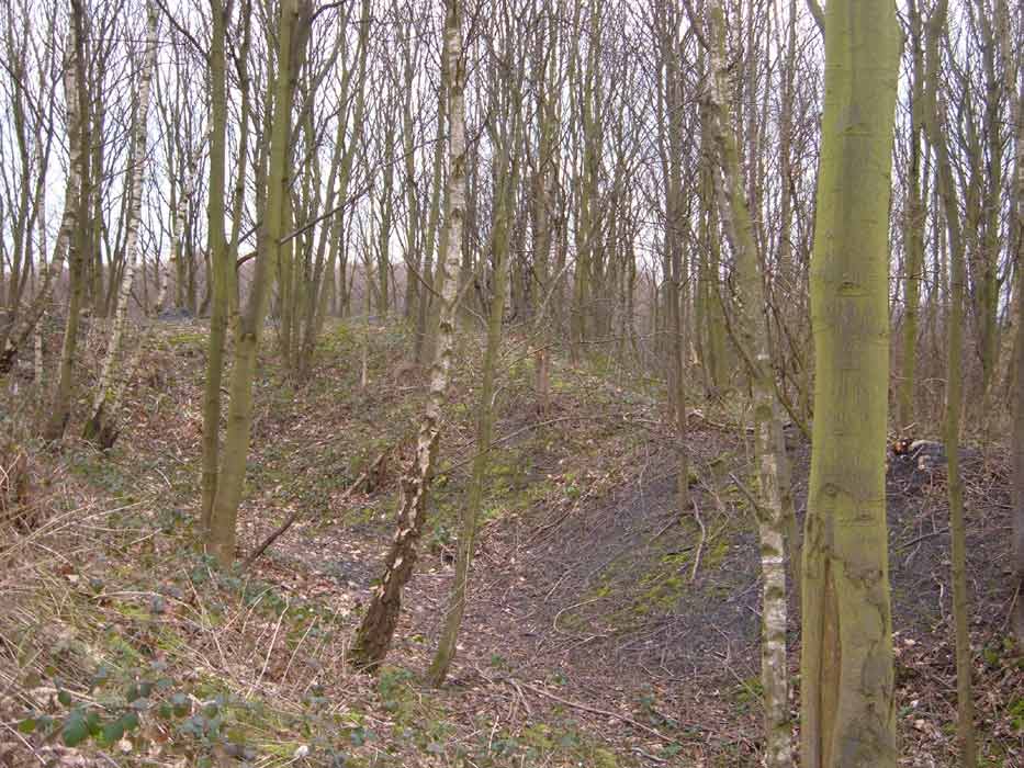
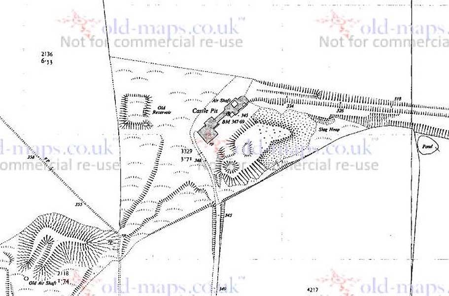
.jpg)


.jpg)
.jpg)
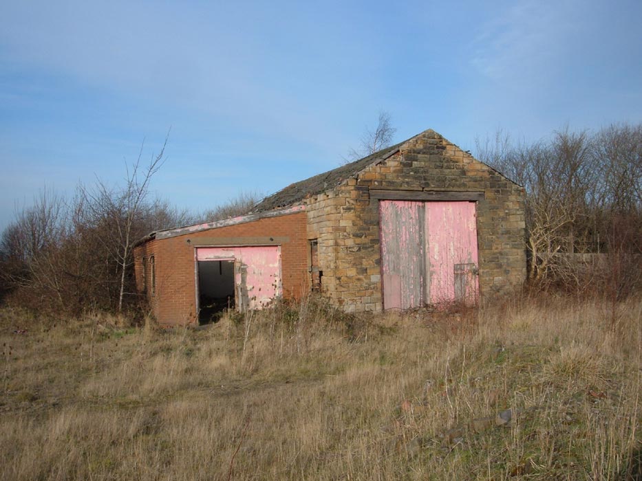

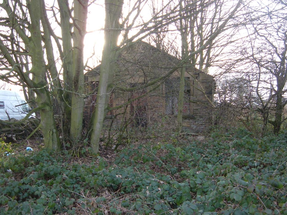
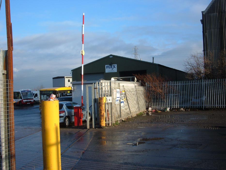

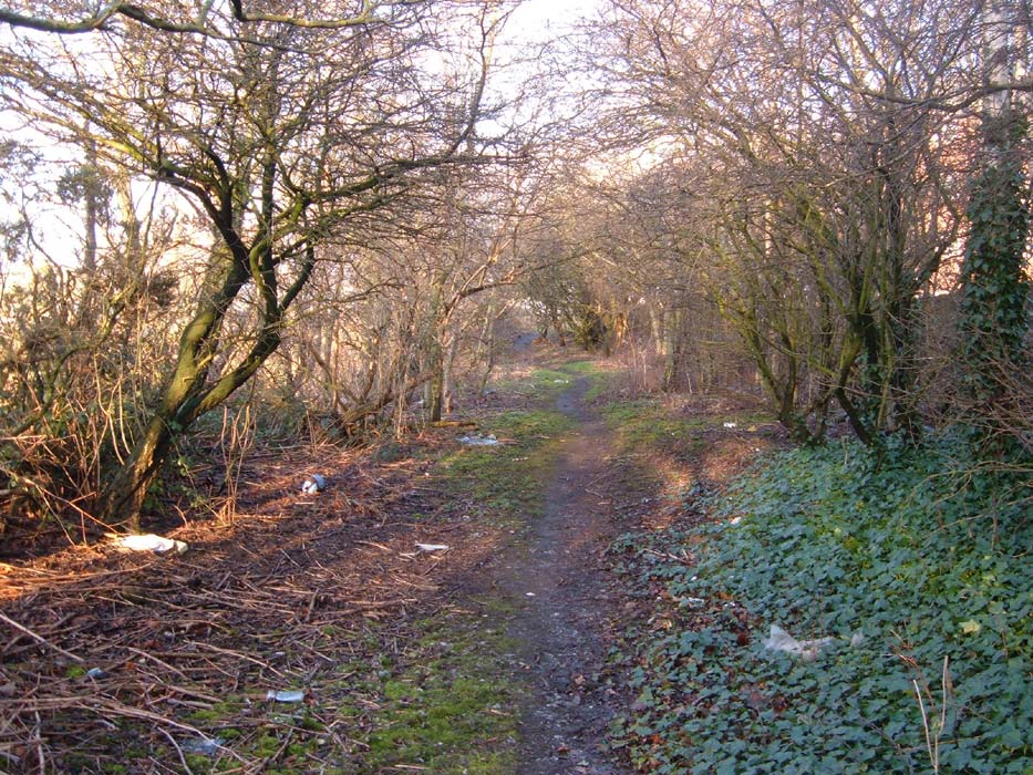
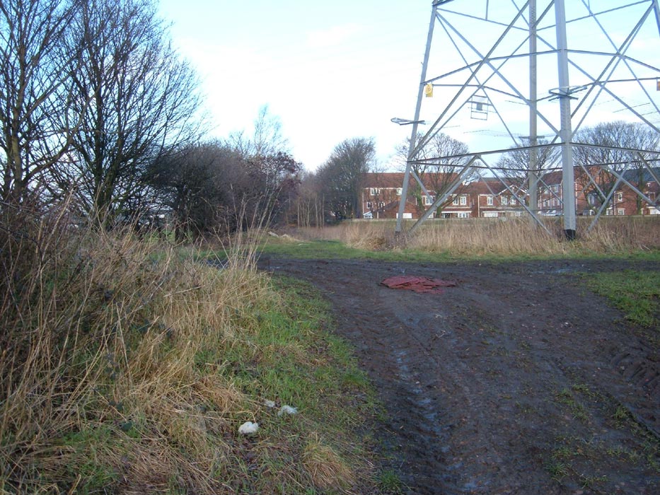
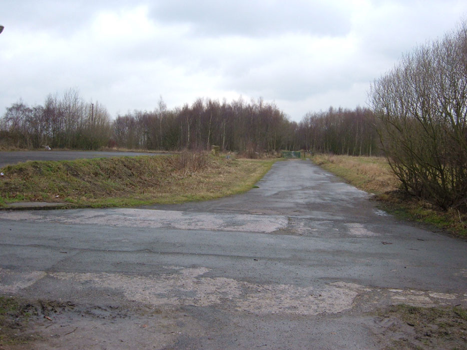
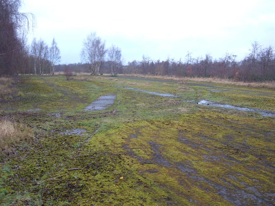

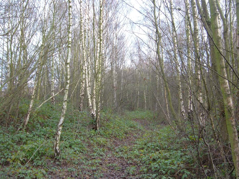
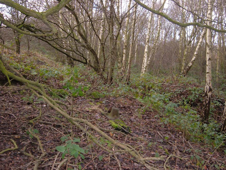

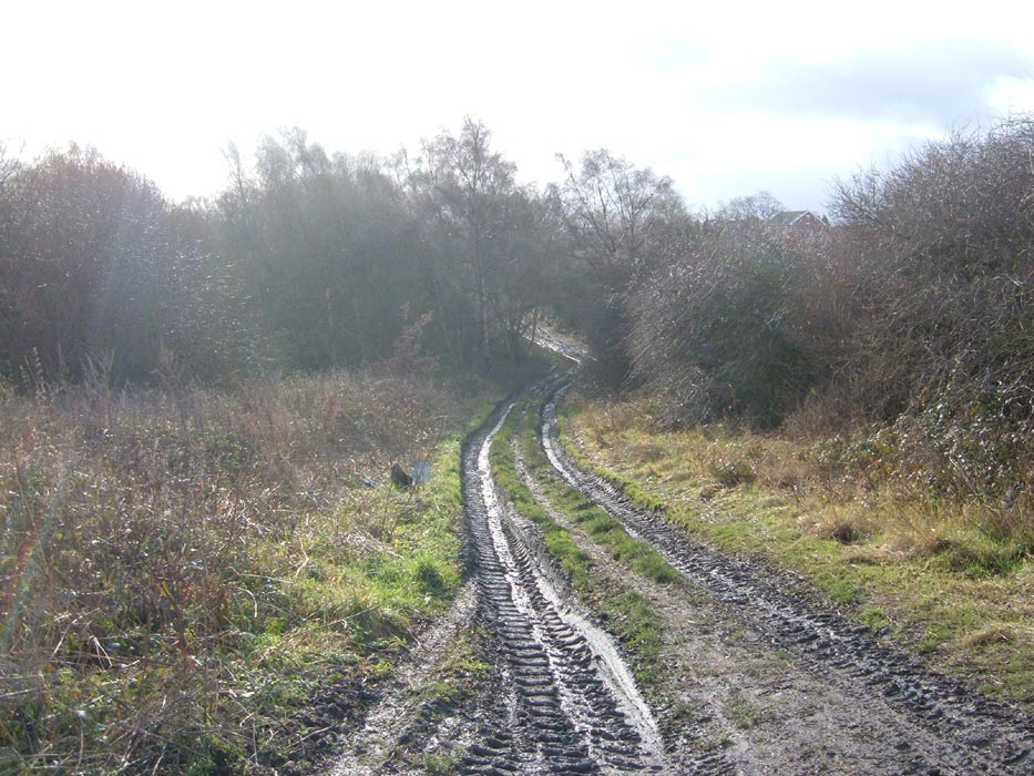
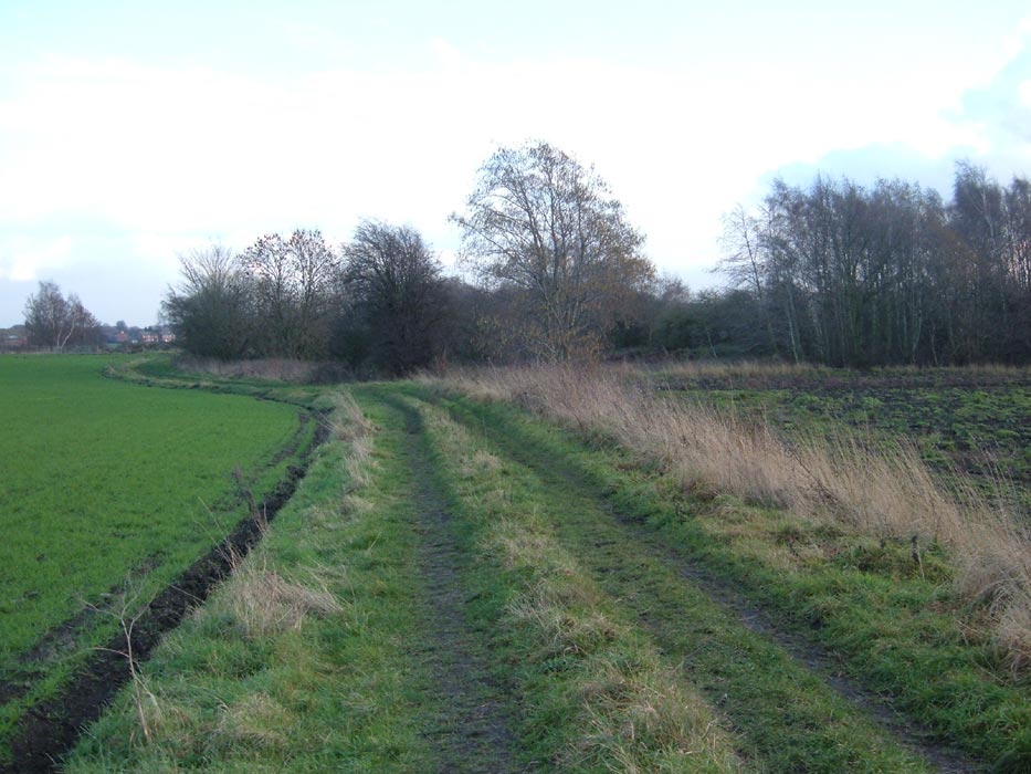


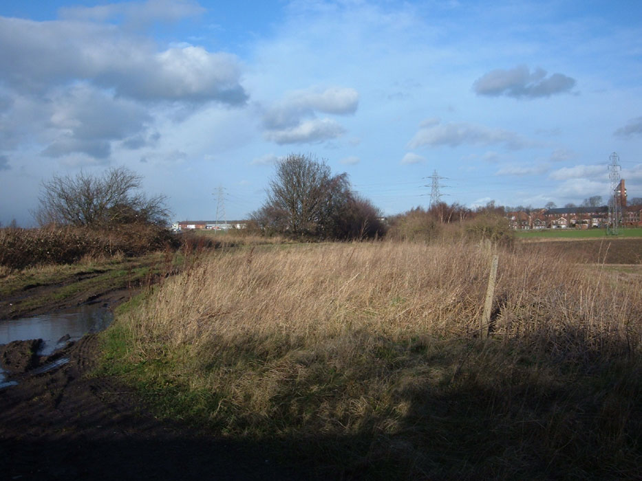
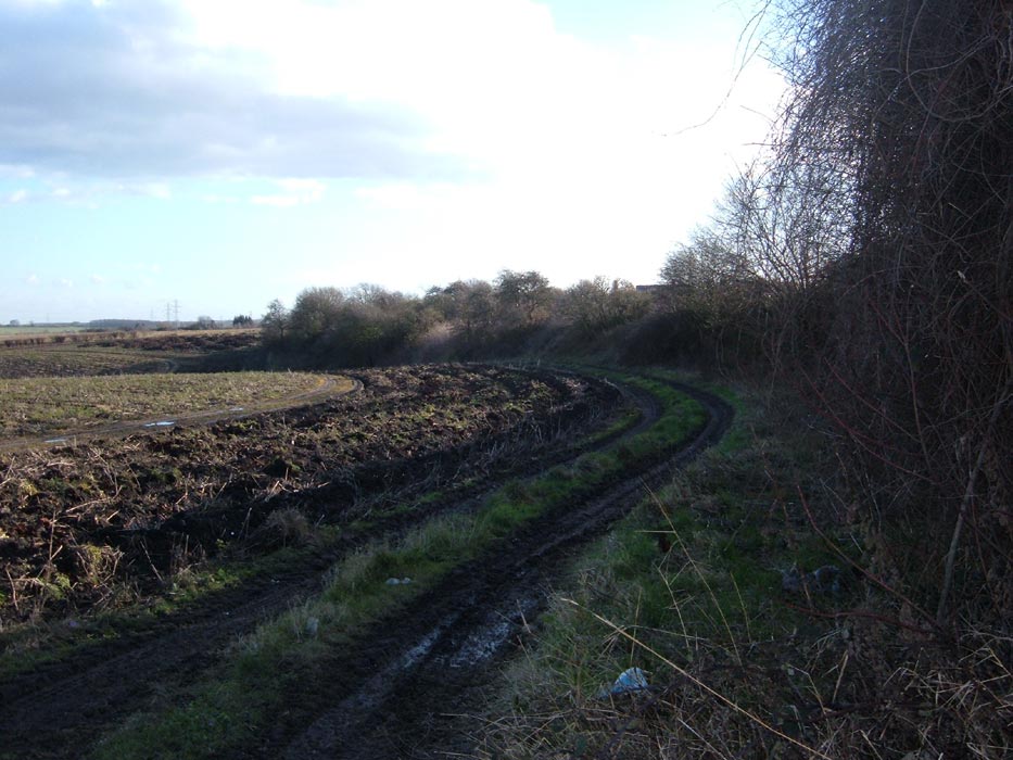
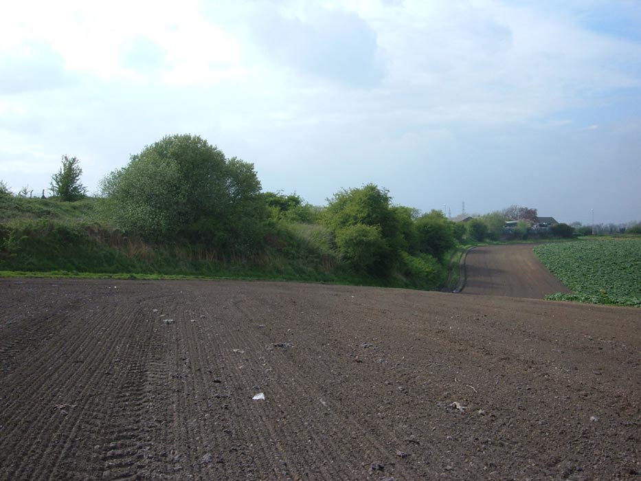
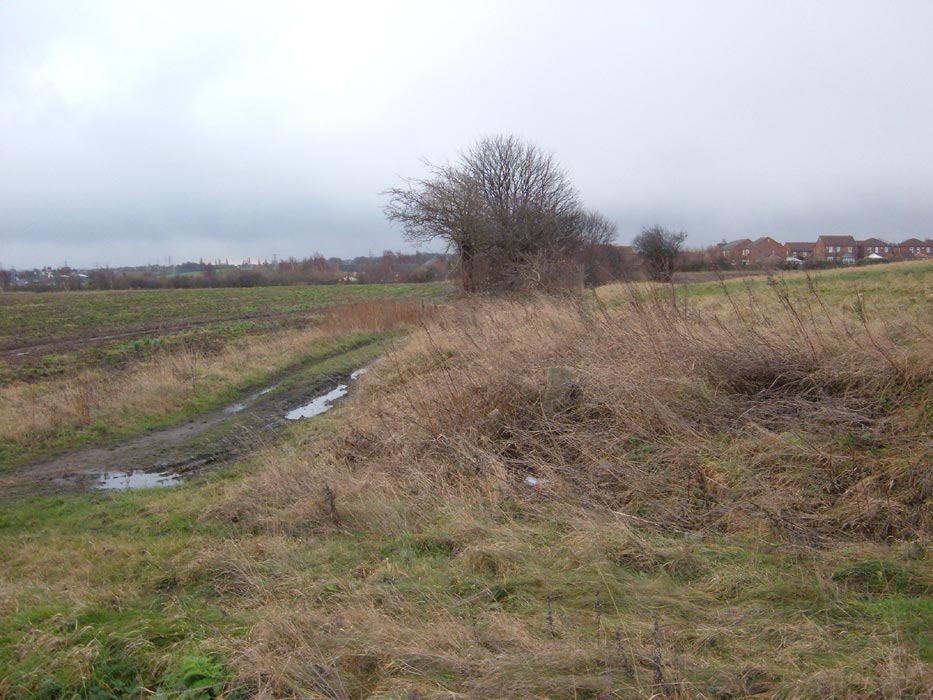
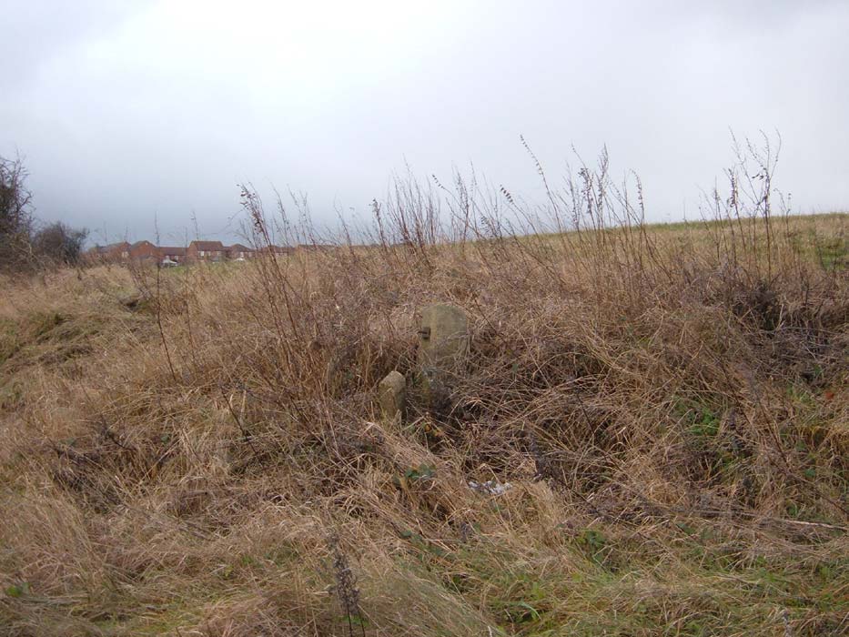

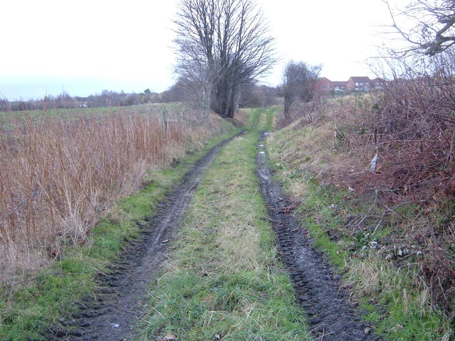
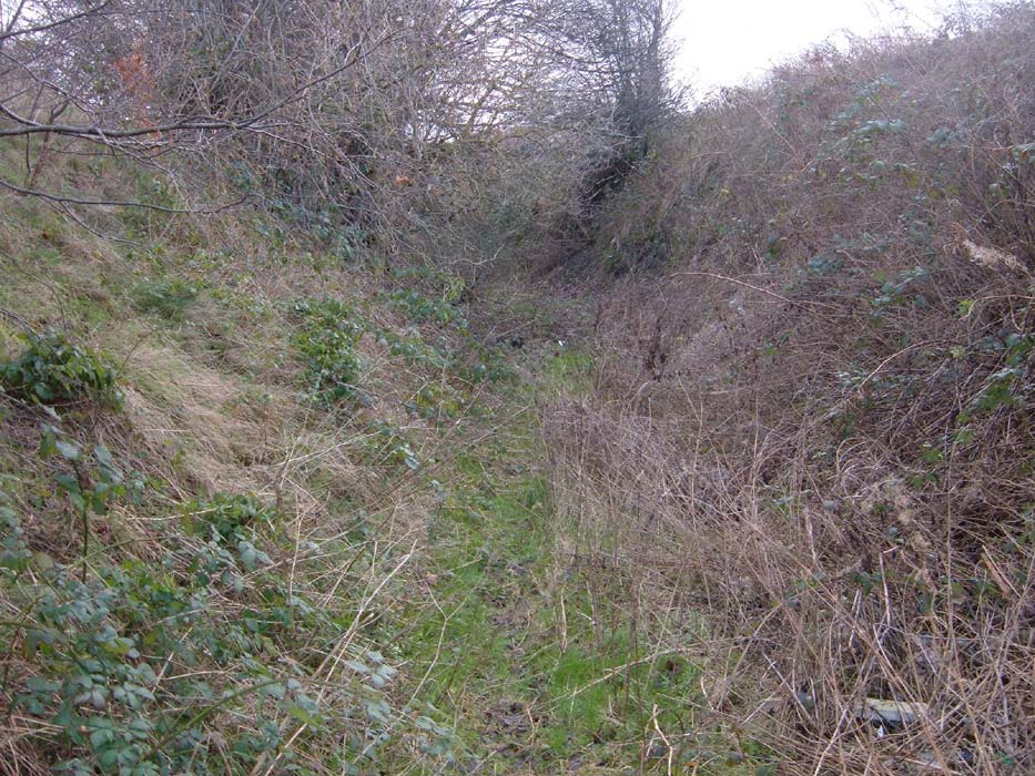
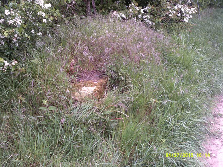
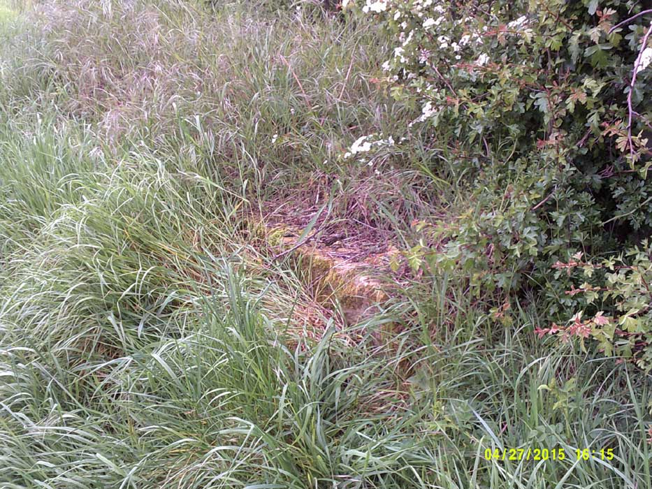

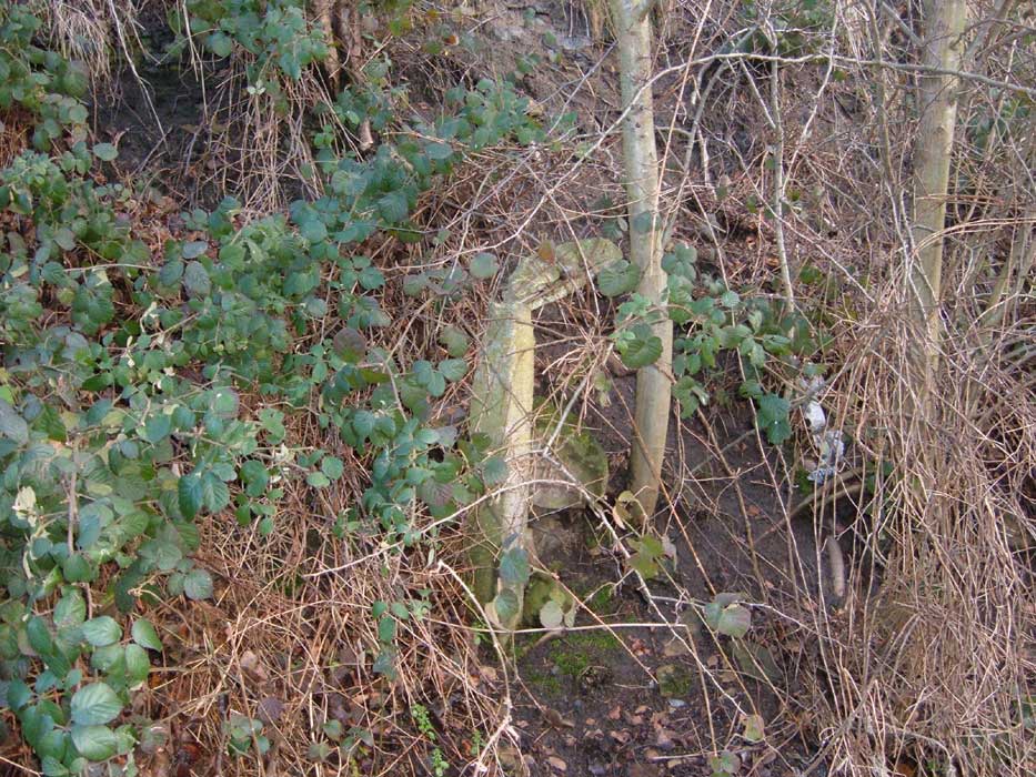
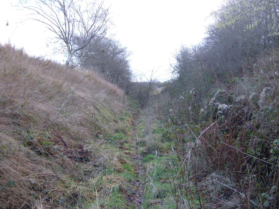
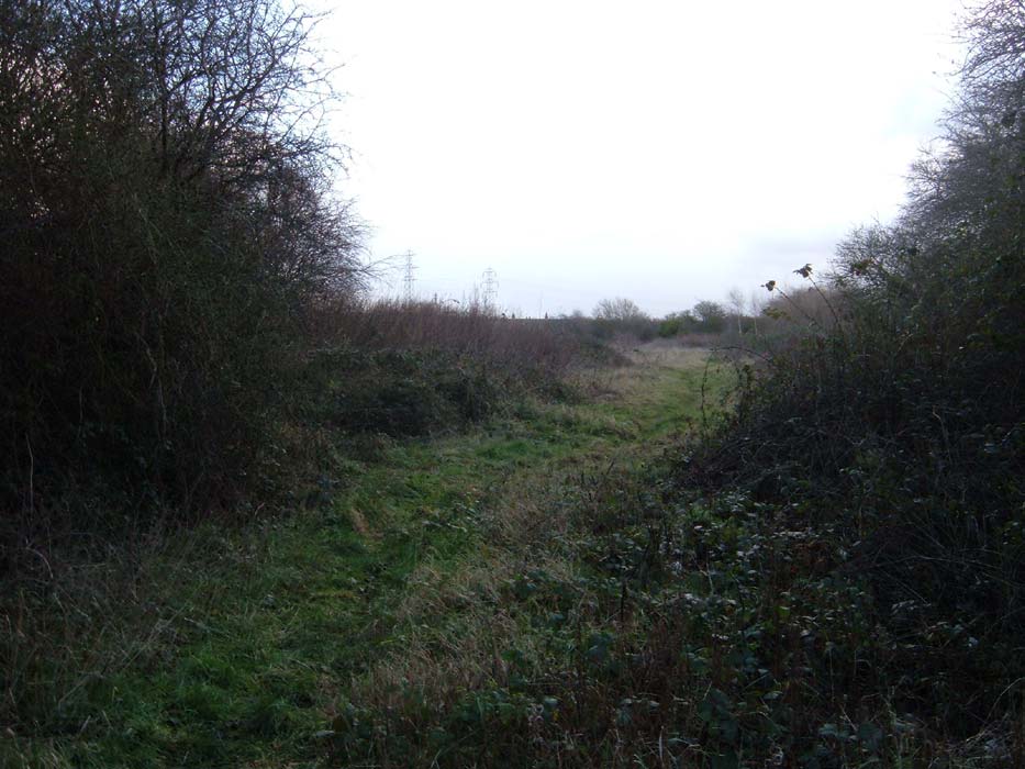
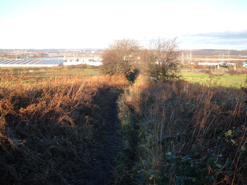
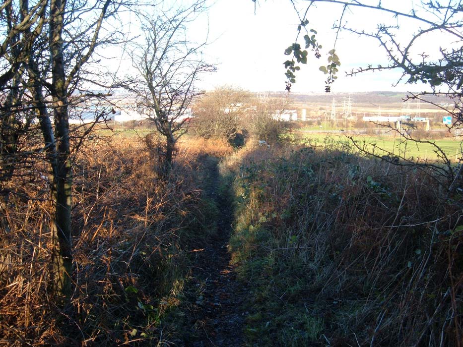
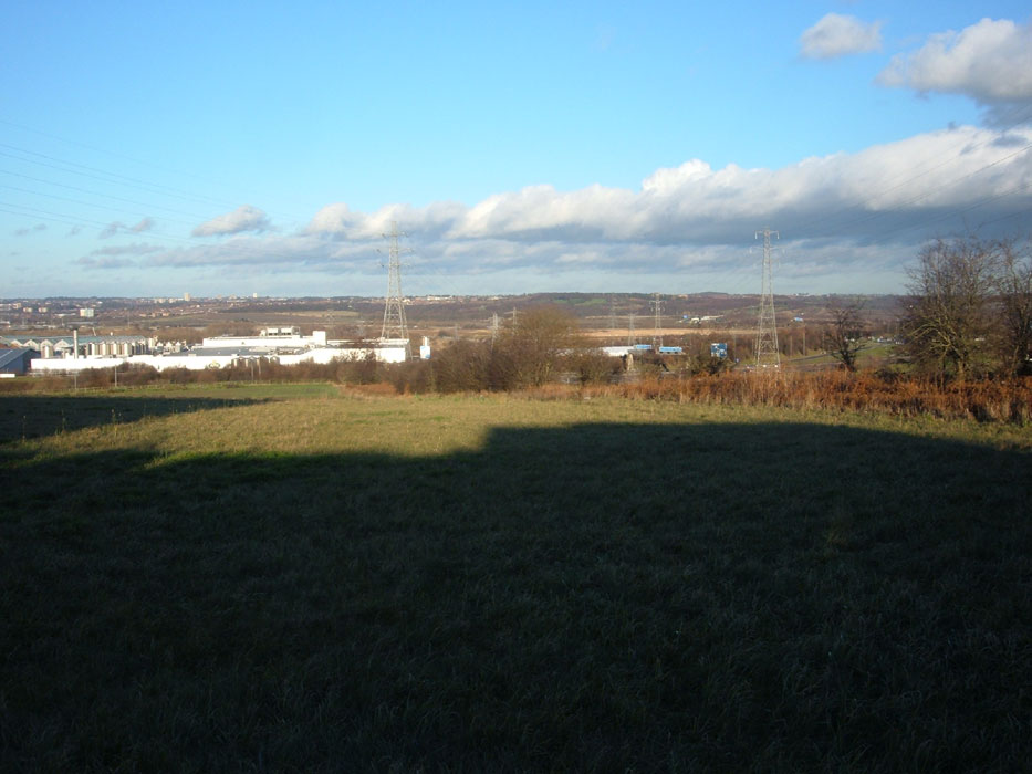


.jpg)