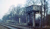
Arthington station
Opened 1849. Closed 20-03-1965.
 Arthington
sign (23-07-08) : Paul Holroyd
website - www.vintagecarriagestrust.org
See also Leeds Harrogate section Arthington
sign (23-07-08) : Paul Holroyd
website - www.vintagecarriagestrust.org
See also Leeds Harrogate section
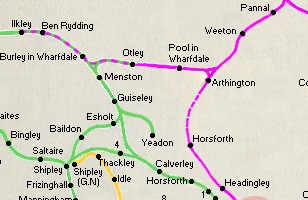
Until Arthington closed on
20th March 1965, it was the junction for Pool in Wharfedale and Otley,
as well as the surviving line to Harrogate, Knaresborough and York.
This
running in board from Arthington is displayed in the cafeteria of Bolton
Abbey station, on the preserved Embsay & Bolton Abbey Railway. |
 Arthington
Station (01-1972) : Keith Rose Arthington
Station (01-1972) : Keith Rose
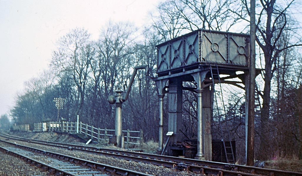
Arthington Station, Up Leeds Platform, NER pattern Water
Column (arm altered for high sided tenders) and tank, January 1972.
The water supply was from Bramhope Tunnel, which also served some
cottages. |
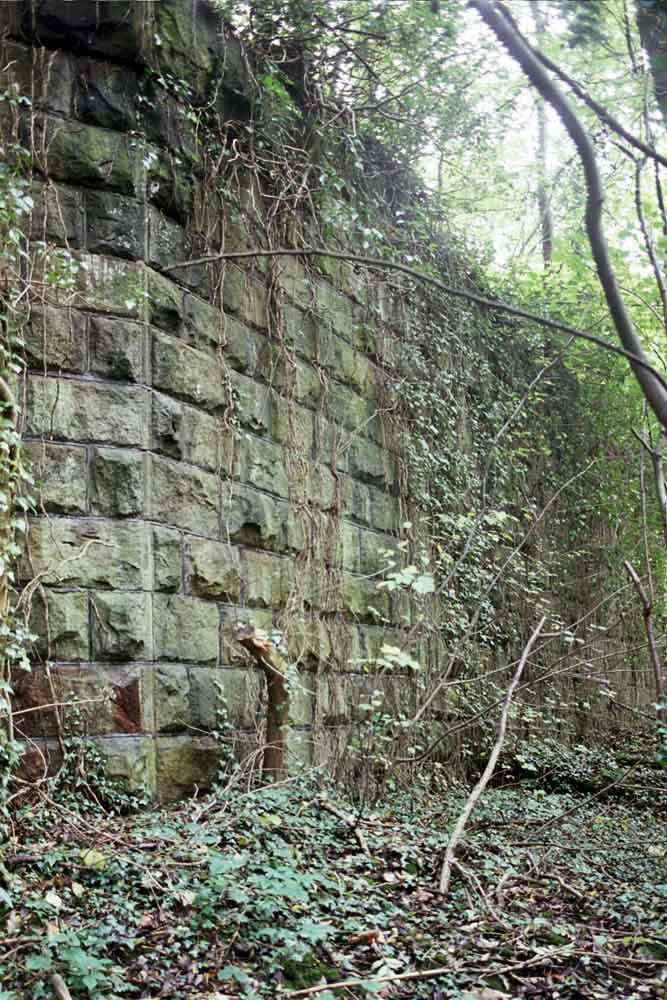
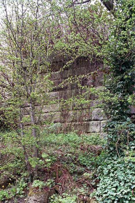
 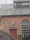 Arthington
gas works building (01-01-12) : Adrian Smith Arthington
gas works building (01-01-12) : Adrian Smith
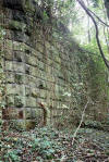
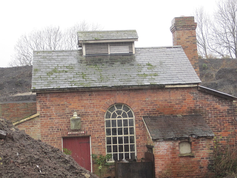
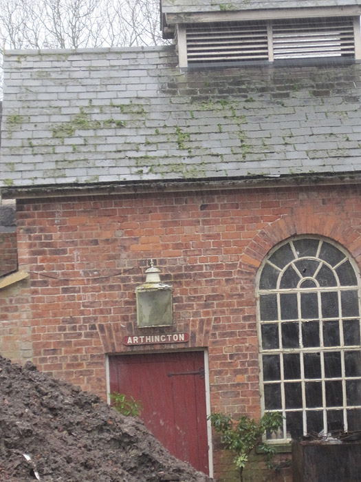
Arthington gas works building, 1st January 2012, near
Creskeld Hall. Situated within the triangular junction
for Pool in Wharfedale & Otley.
Arthington Gas Works opened in 1876 to supply Arthington and Pool
stations. |
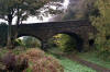
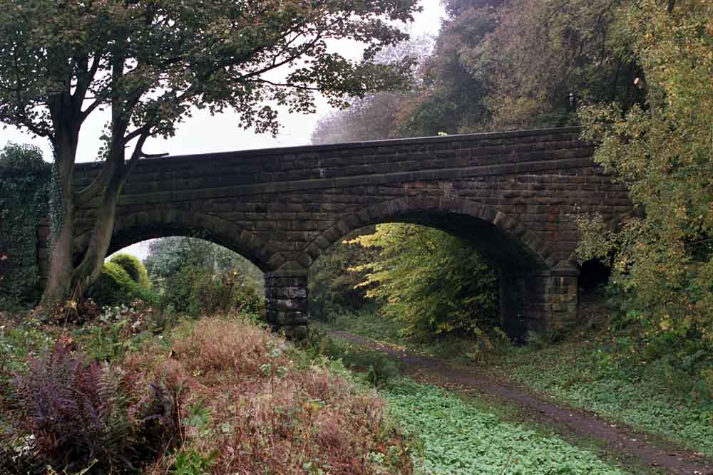
Arthington Viaduct
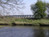 Arthington
Viaduct (17-10-09) : David Taylor Arthington
Viaduct (17-10-09) : David Taylor
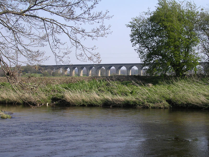
Not lost or closed but can't have a piece on this line without a photo
of the 21 arch Arthington Viaduct over the Wharfe. |
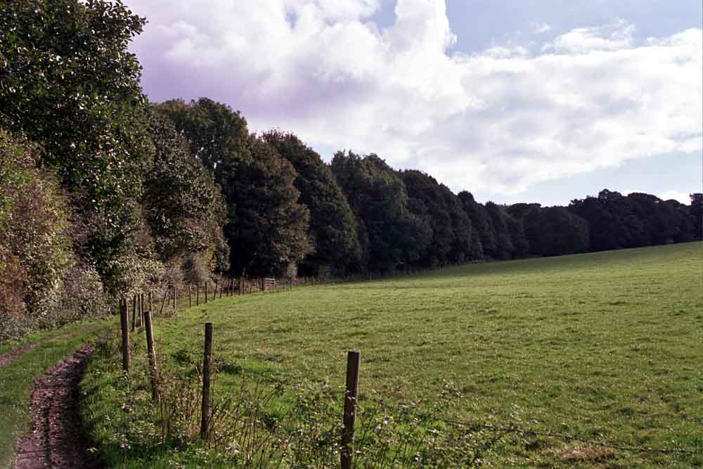
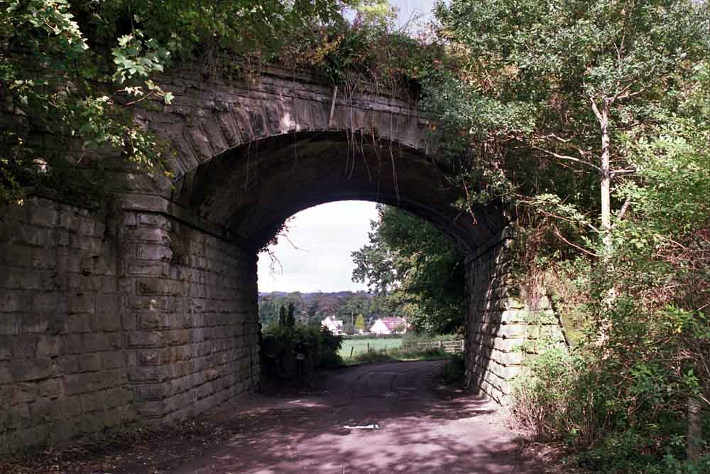
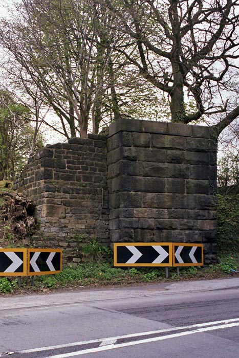
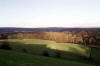 Arthington
junction (12-12) : Malcolm Mallison
See also Otley Ilkley section Arthington
junction (12-12) : Malcolm Mallison
See also Otley Ilkley section
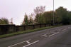
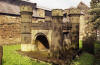
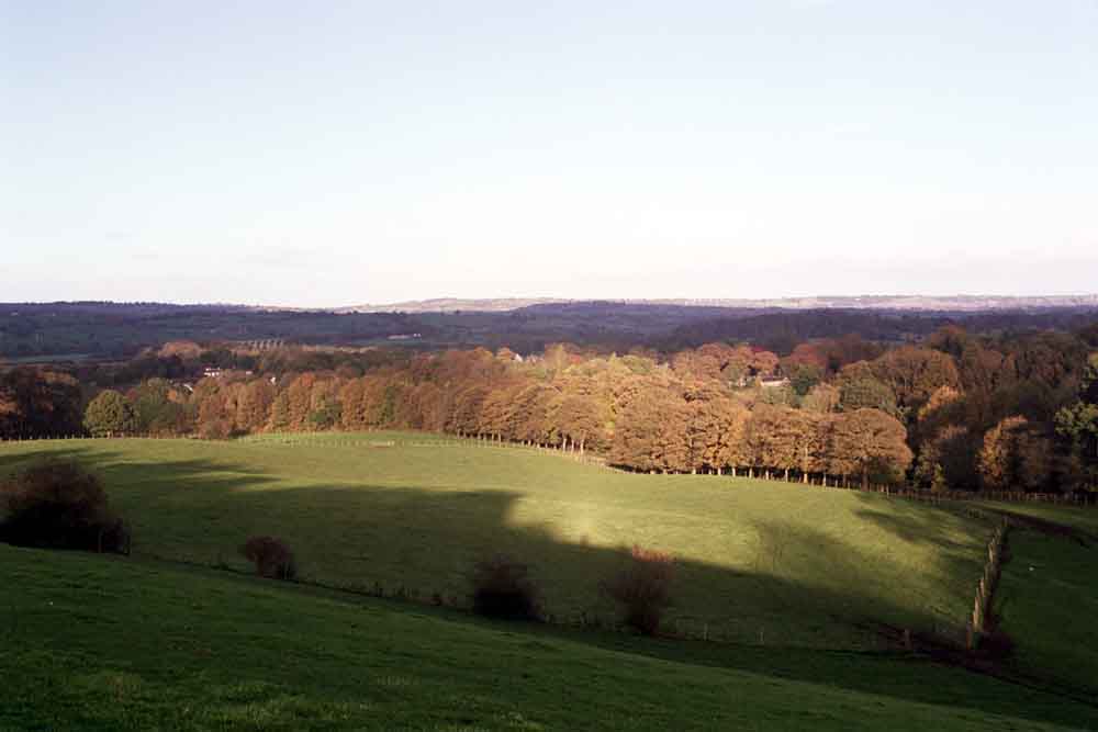
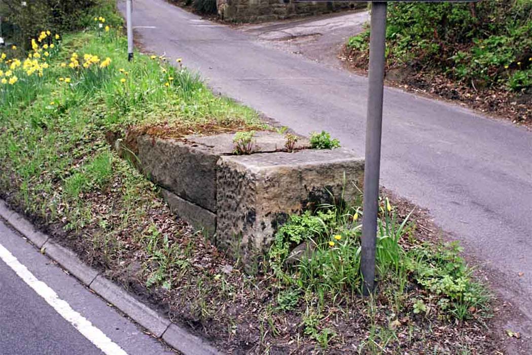
General view of Arthington Junction from footpath from Staircase Lane.
Viaduct over River Wharfe visible to left.
Remaining station buildings
(now a private residence) just below. |
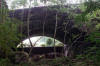
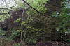
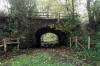
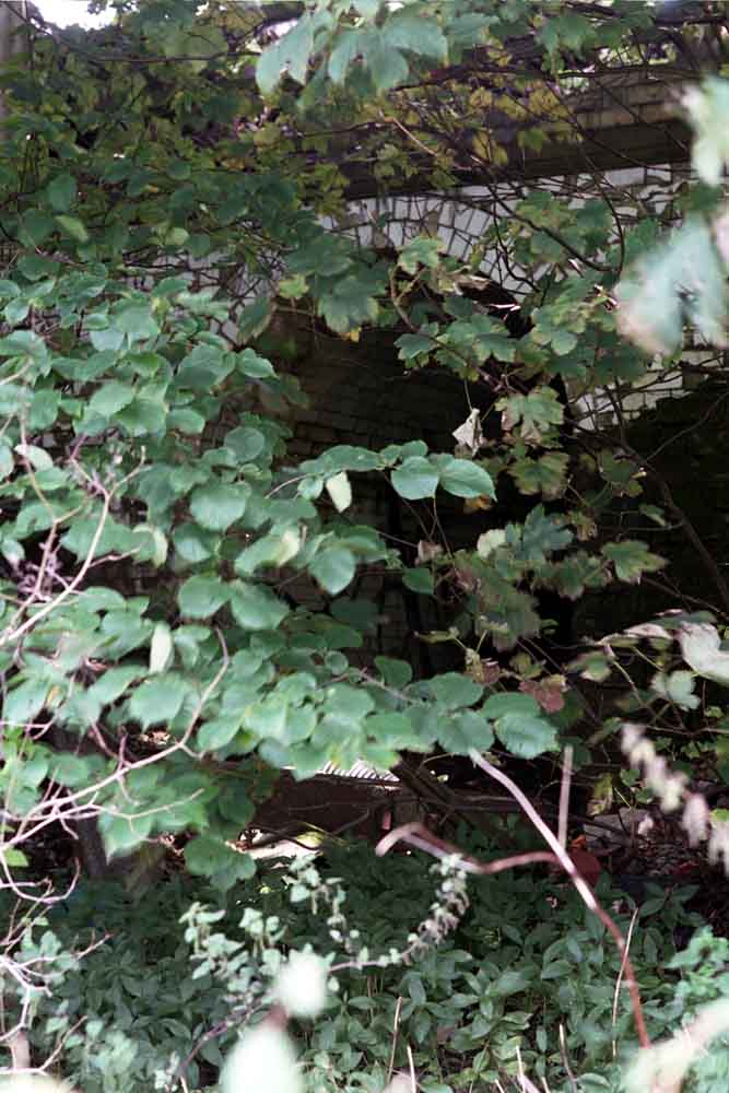
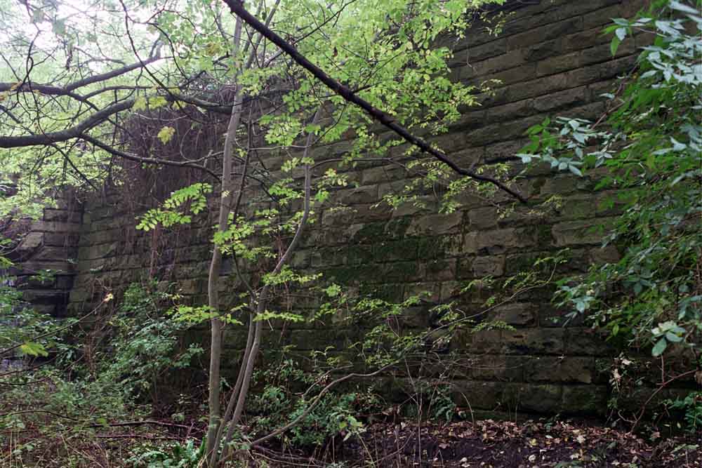
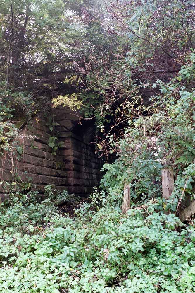
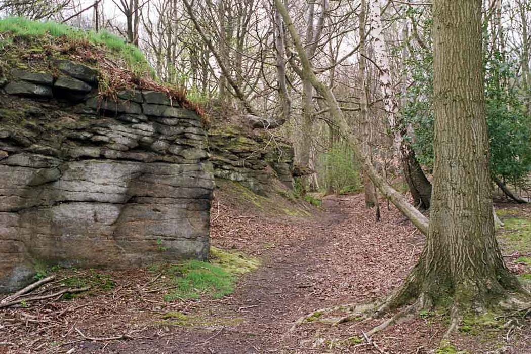
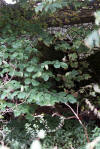 Tunnel
(12-12) : Malcolm Mallison Tunnel
(12-12) : Malcolm Mallison
Tunnel under railway, faced with white glazed
brick, just visible through undergrowth. |
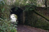
 Farm
tunnel (12-12) : Malcolm Mallison Farm
tunnel (12-12) : Malcolm Mallison
Farm tunnel under southern (Leeds) fork. |
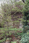
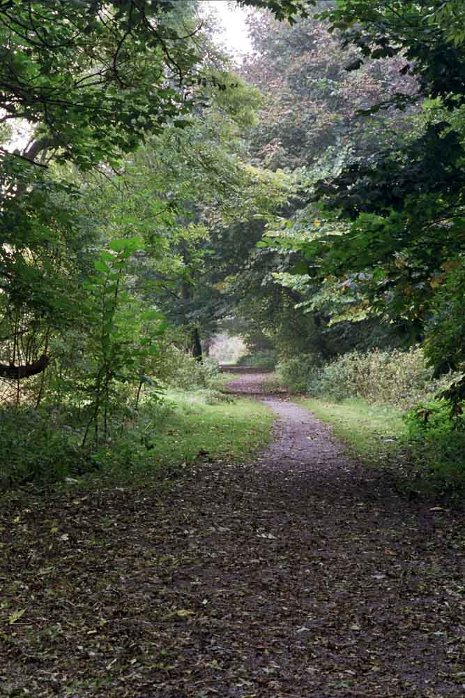
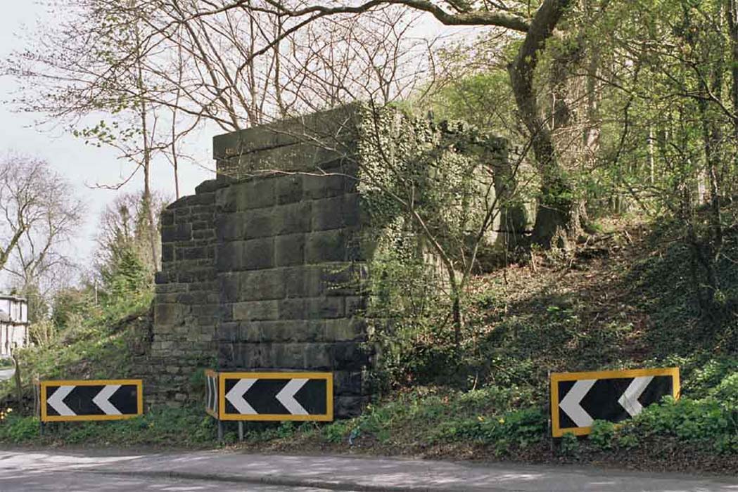
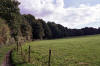 Embankment
(12-12) : Malcolm Mallison Embankment
(12-12) : Malcolm Mallison
Sweep of southern embankment. Would have been
quite impressive, had not been entirely obscured by trees. |
 Farm
tunnel (12-12) : Malcolm Mallison Farm
tunnel (12-12) : Malcolm Mallison
Farm tunnel under northern (Harrogate) fork. |
 Farm
tunnel (12-12) : Malcolm Mallison Farm
tunnel (12-12) : Malcolm Mallison
Farm tunnel at junction of northern fork and extant line. |
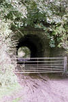
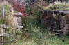
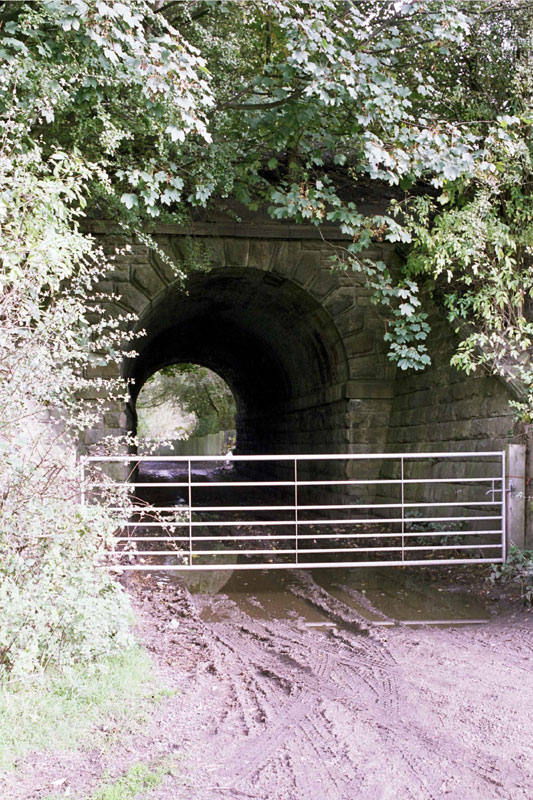
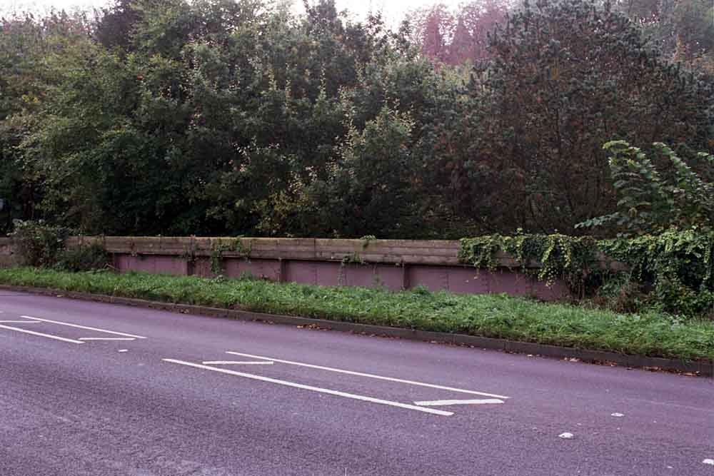
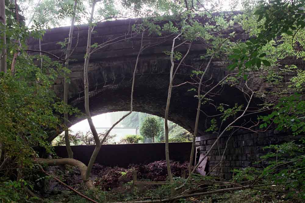
  Bridge
(12-12) : Malcolm Mallison Bridge
(12-12) : Malcolm Mallison
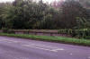
There is no access to the track between Arthington
and Pool.
("Gerroff my land” sign). Parapet of bridge over Pool Bank
survives, but bridge is filled in. |
Pool in Wharfdale
Opened
1865. Closed 1965.
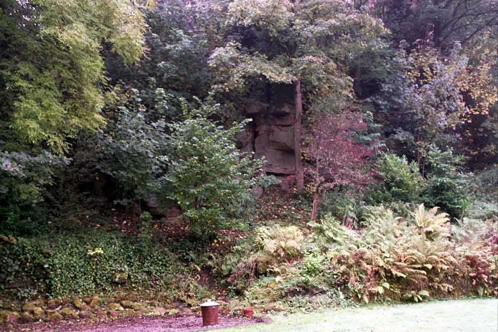
 Pool
in Wharfdale (12-12) : Malcolm Mallison Pool
in Wharfdale (12-12) : Malcolm Mallison
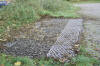
The site of Pool station is now a housing estate,
but the face of the cutting still overshadows gardens on the south side.
Note dustbin for scale. |
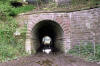
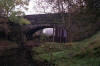
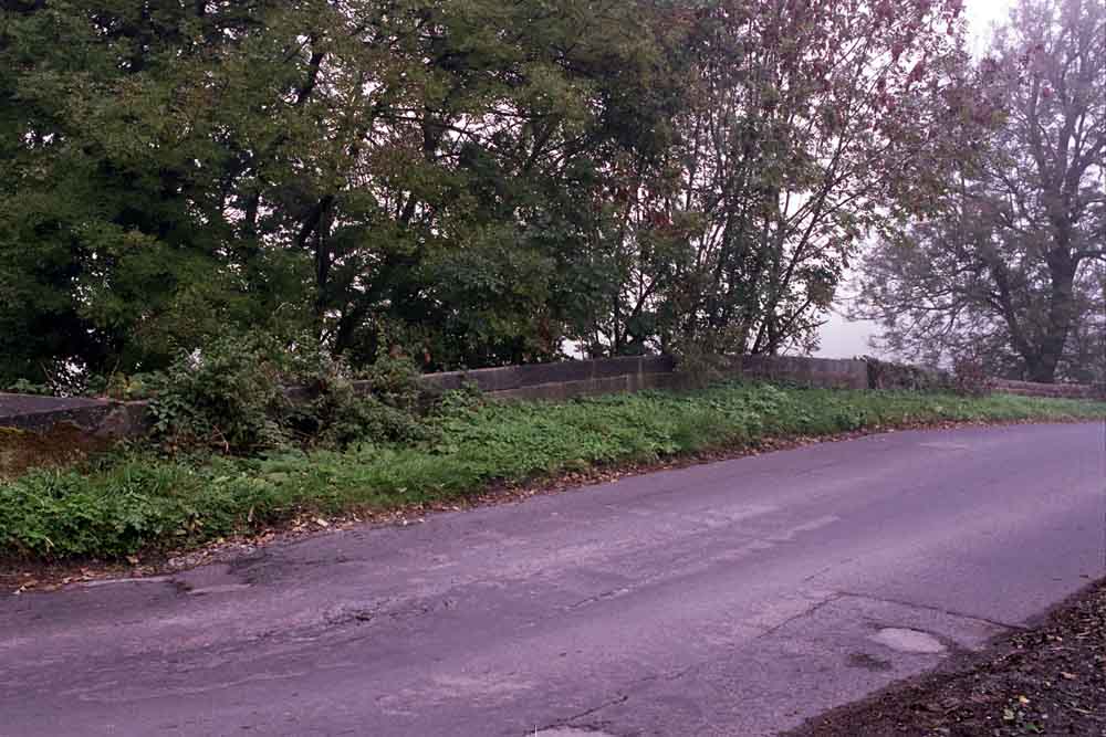
  Bridge
(12-12) : Malcolm Mallison Bridge
(12-12) : Malcolm Mallison
The bridge over Old Pool Bank is still a bridge.
Access to the (muddy) trackbed is possible. |
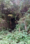
 Cutting
(12-12) : Malcolm Mallison Cutting
(12-12) : Malcolm Mallison
Stone-faced side of cutting next to bridge. |
 Bridge
(12-12) : Malcolm Mallison Bridge
(12-12) : Malcolm Mallison
Bridge providing access to Caley Hall Farm can be
accessed with only minor amount of trespass.
(there is a public footpath
in the adjoining field). |
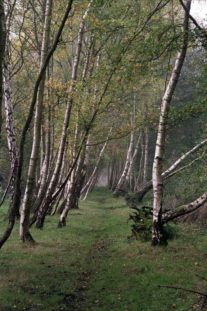
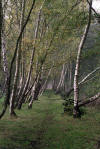 Trackbed
(12-12) : Malcolm Mallison Trackbed
(12-12) : Malcolm Mallison
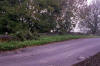
The trackbed can now be walked all the way to the
Otley bypass.
For those coming the other way, just step over the crash
barrier on the roundabout. |
 Bridge
(12-12) : Malcolm Mallison Bridge
(12-12) : Malcolm Mallison
Missing bridge, grid ref 223452. |
 Footpath
(12-12) : Malcolm Mallison Footpath
(12-12) : Malcolm Mallison
Footpath passes under bridge at Stubbings Farm. |
 Bridge
(12-12) : Malcolm Mallison Bridge
(12-12) : Malcolm Mallison
Bridge at Russell Farm. |
 Bridge
(12-12) : Malcolm Mallison Bridge
(12-12) : Malcolm Mallison
Bridge, grid ref 215450. |
 Trackbed
(12-12) : Malcolm Mallison Trackbed
(12-12) : Malcolm Mallison
We shall draw a veil over the bypass.
The track can be picked up again
from a footpath off the roundabout at its western end, where it survives
as an official, gravelled path. |
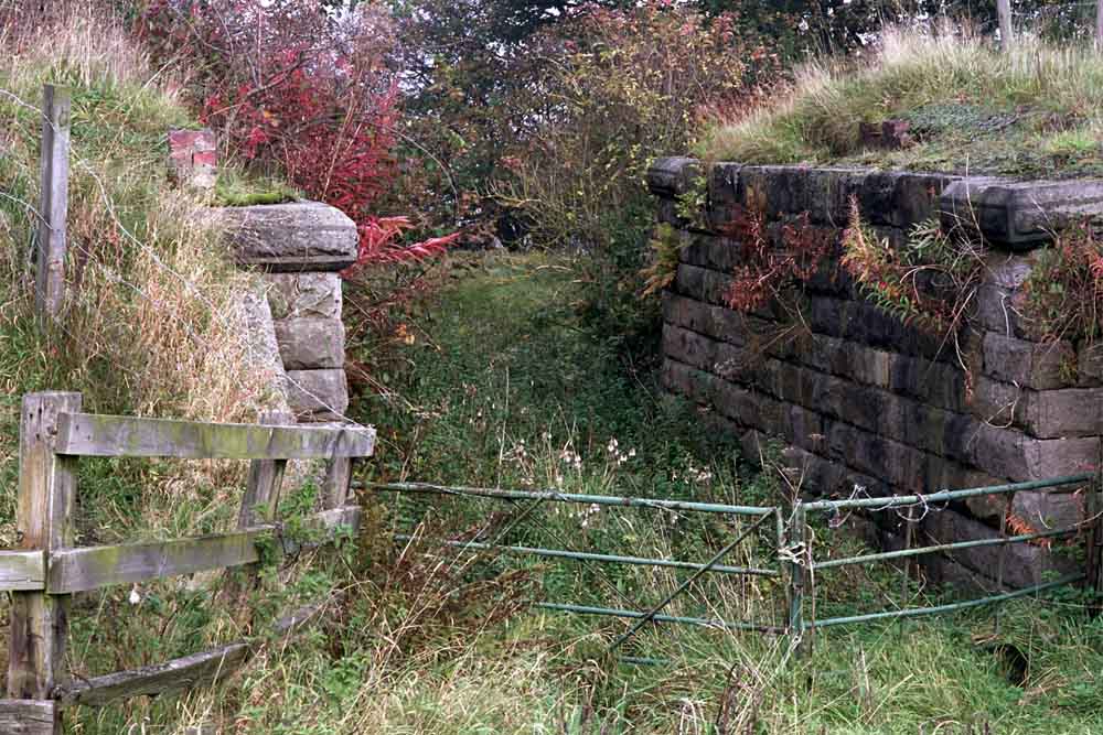
 Farm
access (12-12) : Malcolm Mallison Farm
access (12-12) : Malcolm Mallison
Only one farm access bridge over this section of
track survives. |
Pool Bank Quarry narrow gauge railway
  Pool
Bank railway (09-05-13) : Malcolm Mallison Pool
Bank railway (09-05-13) : Malcolm Mallison
Remains of narrow gauge railway that ran quarry at top of Pool Bank to
Pool station.
Closed in 1915, bridge removed for scrap in 1941.
Photos show remains of bridge abutments over A660 at top of Otley Chevin,
next to toll house. |
  Pool
Bank railway (09-05-13) : Malcolm Mallison Pool
Bank railway (09-05-13) : Malcolm Mallison
Remains of bridge abutments over A660 at top of Otley Chevin, next to
toll house. |
 Pool
Bank railway (09-05-13) : Malcolm Mallison Pool
Bank railway (09-05-13) : Malcolm Mallison
Putative line of track through woods. The rocks to the left have
certainly been cut back to clear a path. |
Otley Station
Opened 01-02-1865. Closed 22-03-1965.
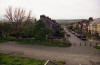 Otley Station facing north
(01-05-05) : David Webdale
See also Otley to Ilkley Otley Station facing north
(01-05-05) : David Webdale
See also Otley to Ilkley
Taken from a footbridge crossing the A660T,
looking down Station road.
The site of the old Otley goods yard. The stone sets may have been part of the old access
road. Weighbridge on the left hand side of photo. The passenger station
was out of picture to the right, nothing remains. |
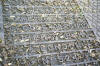
/DSC_0033_small.jpg) Otley
Station Map1910 : Malcolm Mallison Otley
Station Map1910 : Malcolm Mallison
Otley (1910, amended 1938). |
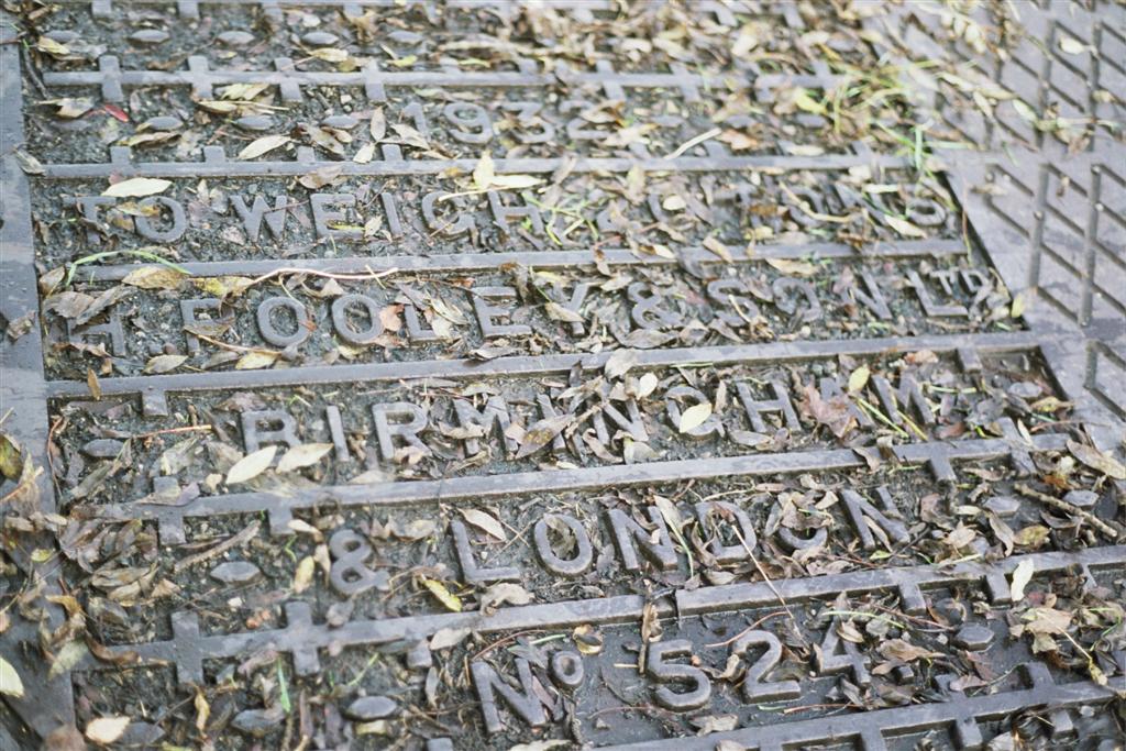
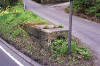
  Weighbridge (10-2011) : Malcolm Mallison Weighbridge (10-2011) : Malcolm Mallison
Oct 2011. 80 years old, unused in 45, weighbridge in Otley station yard.
(Perhaps should re photograph when not covered in dead leaves). |
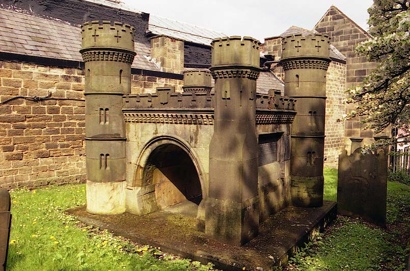
 Otley
church yard Bramhope tunnel monument (01-05-05) : David Webdale Otley
church yard Bramhope tunnel monument (01-05-05) : David Webdale
Monument to the 23 people killed during the
construction of the nearby Bramhope tunnel.
see Leeds to Harrogate
The monument was rebuilt using local stone back in 1913.
Made to look like the north portal. |
 Bridge
(12-12) : Malcolm Mallison Bridge
(12-12) : Malcolm Mallison
The bridge over the A6038 Bradford Rd survived
closure by decades. I could kick myself now for not photographing it
intact.
It seems to have been in two sections- over a stream and then the road.
Abutment on south side of stream. |


/DSC_0033.jpg)