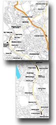
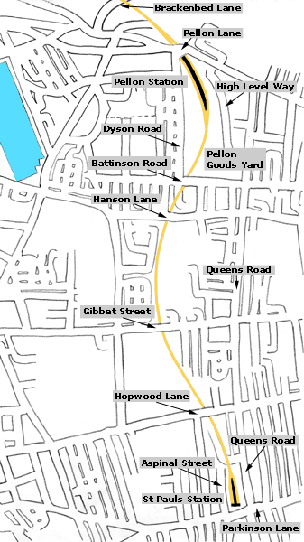
/Pellon_small.jpg) Pellon
Map (1931) : Malcolm Mallison Pellon
Map (1931) : Malcolm Mallison
From the Six inch map 1931 Survey.
|
 Pellon
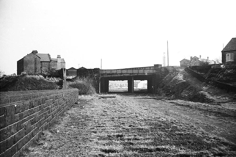
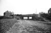
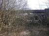
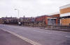
lane overbridge (c1963) :
Richard Barnes
©
copyright on all Richard Barnes Photographs. Pellon
lane overbridge (c1963) :
Richard Barnes
©
copyright on all Richard Barnes Photographs.
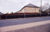
Approach to Pellon station, facing towards Queens Road. The overbridge
is Pellon Lane.
(Photo's taken a week after track was lifted) |
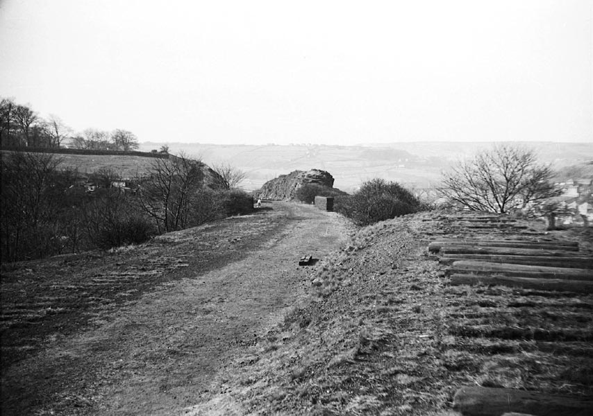
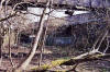
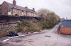
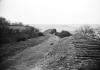 Trackbed
(c1963) : Richard Barnes Trackbed
(c1963) : Richard Barnes
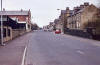
Same location as previous but facing towards Wheatley.
Note how steeply the trackbed falls away below the level of the
headshunt where I was standing. |
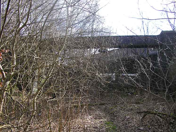
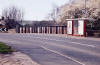
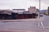
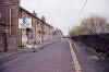
 Pellon
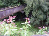
lane overbridge (gas pipe overbridge) (02-06) Matt C Pellon
lane overbridge (gas pipe overbridge) (02-06) Matt C |
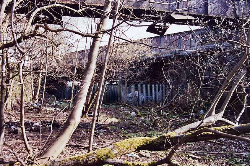
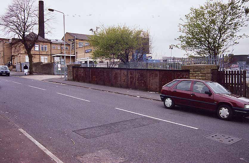
 Pellon
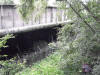
lane overbridge (gas pipe overbridge) (22-04-06) : David Webdale Pellon
lane overbridge (gas pipe overbridge) (22-04-06) : David Webdale
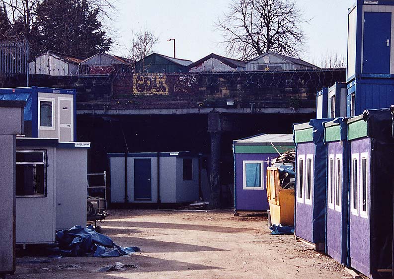
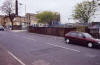
Approach to Pellon station. Gas pipe bridge
nearest camera complete with smoke deflectors.
Fenced off area under the bridge, used for storage by firm on the site
of the Pellon station. |
 Pellon
lane overbridge (13-09-10) : David Marshall Pellon
lane overbridge (13-09-10) : David Marshall |
 Pellon
lane overbridge (13-09-10) : David Marshall Pellon
lane overbridge (13-09-10) : David Marshall |
 Pellon
lane overbridge (gas pipe overbridge) facing north (22-04-06) : David
Webdale Pellon
lane overbridge (gas pipe overbridge) facing north (22-04-06) : David
Webdale
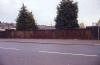
Facing back the other way, view of the bridge from
road level. |
Pellon
station
Opened 05-09-1890. Closed 31-12-1916. Freight 27-06-1960
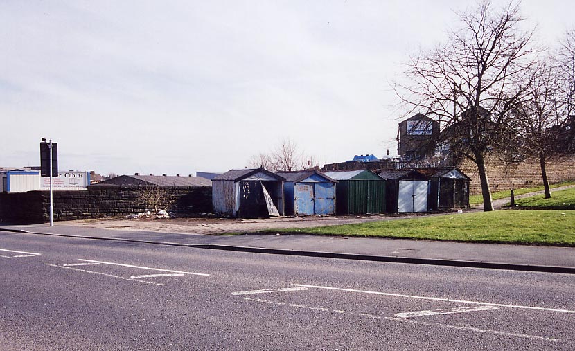
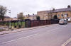
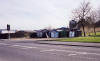 Pellon
station entrance (22-04-06) : David Webdale Pellon
station entrance (22-04-06) : David Webdale
Entrance to the station from road level, the
booking office was situated where those garages are now.
Stone sets still remain along the front of the garages. |
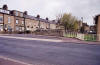
 Pellon
station entrance (02-01-09) : David Webdale Pellon
station entrance (02-01-09) : David Webdale
Three years on from the above photo. Garages
removed to reveal bricked up entrance at road level. |
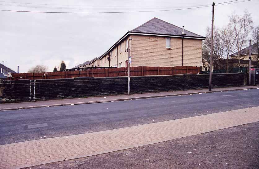
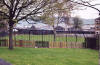
 Pellon
station (22-04-06) : David Webdale Pellon
station (22-04-06) : David Webdale
Access from road level was via steps leading down
from the back of those garages (now gone)
through that bricked up section of wall
with the graffiti, to an island platform. |
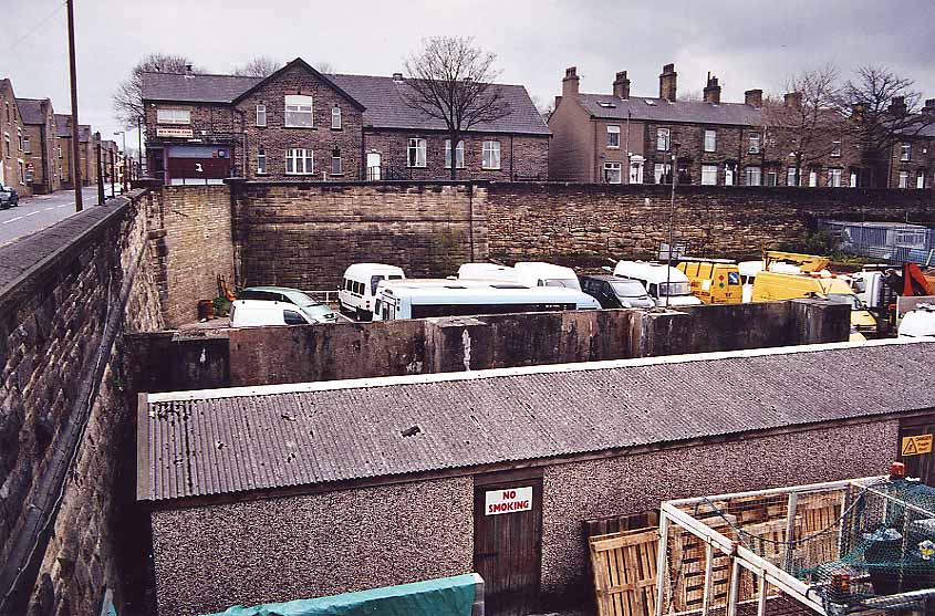
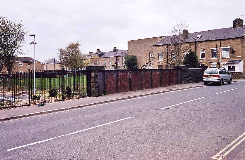
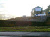
 Pellon
goods yard facing west (30-04-06) : David Webdale Pellon
goods yard facing west (30-04-06) : David Webdale
Taken from a stairway leading up to some flats off Battinson road.
Bricked up bridge visible in the corner, houses in background are on
Dyson road. |
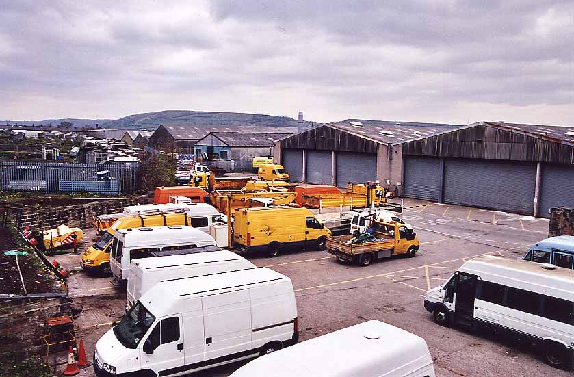
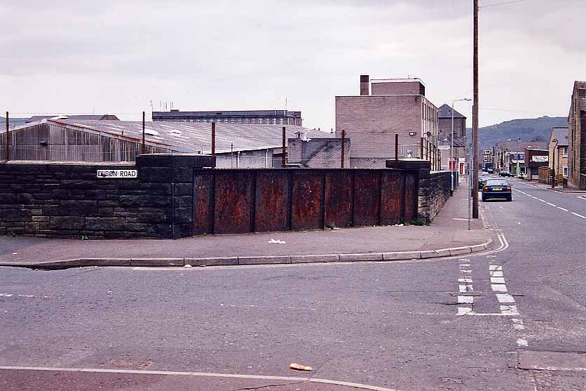
 Pellon
goods yard facing north (30-04-06) : David Webdale Pellon
goods yard facing north (30-04-06) : David Webdale
Stood on top of the bricked up bridge on the corner of Dyson & Battinson
road. |
 Dyson
road bridge facing east (30-04-06) : David Webdale Dyson
road bridge facing east (30-04-06) : David Webdale
Corner of Dyson & Battinson road.
Iron bridge & in the background the flats I mentioned. |
 Battinson
road facing south (30-04-06) : David Webdale Battinson
road facing south (30-04-06) : David Webdale
The other side of the road.
The road running along the top is Ramsgate. |
 Hanson
lane facing north (30-04-06) : David Webdale Hanson
lane facing north (30-04-06) : David Webdale
Facing back towards the bridge under Battinson
road.
Looking over the old bridge parapet on the corner of Ramsgate & Hanson
lane.
The cutting filled in & used as gardens along here. |
 Hanson
lane facing west (30-04-06) : David Webdale Hanson
lane facing west (30-04-06) : David Webdale
View of the well kept bridge parapet I was looking
over in previous photo. |
 Hanson
lane facing south (30-04-06) : David Webdale Hanson
lane facing south (30-04-06) : David Webdale
Taken from the other side of the road, cutting
filled in & new houses built along the old formation. |
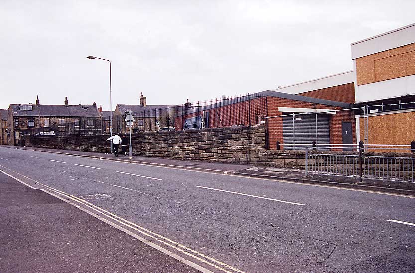
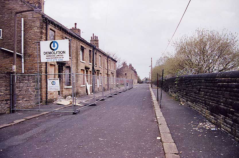
 Gibbet
street facing west (30-04-06) : David Webdale Gibbet
street facing west (30-04-06) : David Webdale
Facing up Gibbet street. Bridge walls clearly
visible on both sides.
The guy in the approaching red car, stopped when he saw my camera,
waited a couple of minutes, reversed & disappeared down a side street,
maybe he's a bit shy. |
 Hopwood
lane facing west (30-04-06) : David Webdale Hopwood
lane facing west (30-04-06) : David Webdale
Next street along towards St Pauls is another
rusty Iron bridge. |
 Hopwood
lane facing south (30-04-06) : David Webdale Hopwood
lane facing south (30-04-06) : David Webdale
Opposite side of the road, the site of St Pauls
station yard just the other side of the bridge.
Kingston Close built on the site now.
Yard included a signal box &
turntable.
The formation of the line clearly visible on Google earth. |
St
Pauls station
Opened 05-09-1890. Closed 31-12-1916. Freight 27-06-1960
 St Pauls station Parkinson
lane facing west (30-04-06) : David Webdale St Pauls station Parkinson
lane facing west (30-04-06) : David Webdale
Taken from the corner of Queens road & Parkinson
lane. The site of St Pauls station, just over that wall. |
 Parkinson
lane facing north (30-04-06) : David Webdale Parkinson
lane facing north (30-04-06) : David Webdale
Looking over the wall, the site of St Pauls
station, Aspinal street in the background.
Bits of retaining wall still in evidence. |
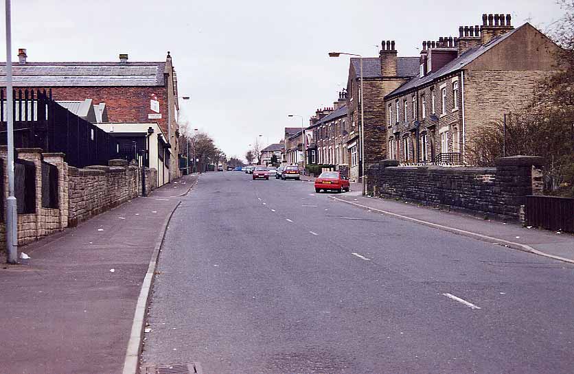
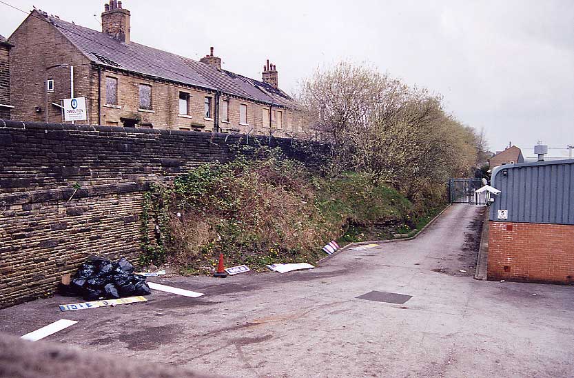
 Aspinal
street facing north (30-04-06) : David Webdale Aspinal
street facing north (30-04-06) : David Webdale
Thought I'd better take a photo of these neglected
but solid old houses.
Now on death row, soon to be replaced with concrete & tacky artificial
stone no doubt. |


/Pellon.jpg)